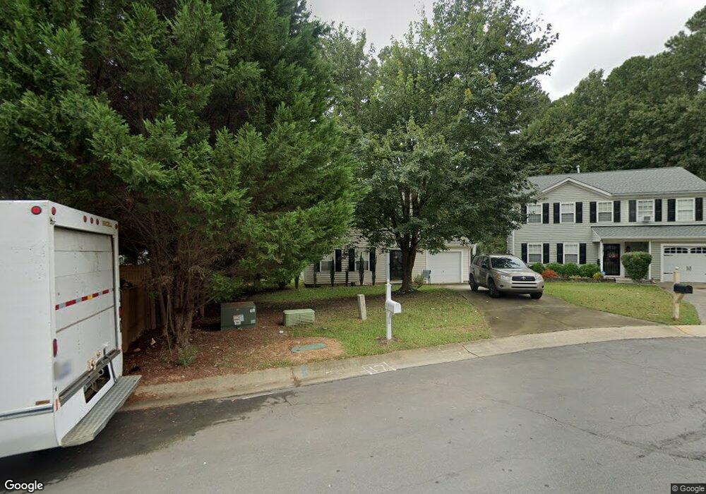
5 Kitty Hawk Ct Durham, NC 27703
Eastern Durham NeighborhoodEstimated Value: $235,000 - $299,000
3
Beds
3
Baths
1,248
Sq Ft
$225/Sq Ft
Est. Value
About This Home
This home is located at 5 Kitty Hawk Ct, Durham, NC 27703 and is currently estimated at $281,003, approximately $225 per square foot. 5 Kitty Hawk Ct is a home located in Durham County with nearby schools including Bethesda Elementary School, John W Neal Middle School, and Southern School of Energy & Sustainability.
Ownership History
Date
Name
Owned For
Owner Type
Purchase Details
Closed on
Apr 21, 2015
Sold by
Woods Edwina R
Bought by
Woods Edwina R
Current Estimated Value
Purchase Details
Closed on
Jul 9, 2003
Sold by
Anderson Homes Inc
Bought by
Woods Edwina R
Home Financials for this Owner
Home Financials are based on the most recent Mortgage that was taken out on this home.
Original Mortgage
$116,982
Interest Rate
5%
Mortgage Type
Purchase Money Mortgage
Create a Home Valuation Report for This Property
The Home Valuation Report is an in-depth analysis detailing your home's value as well as a comparison with similar homes in the area
Home Values in the Area
Average Home Value in this Area
Purchase History
| Date | Buyer | Sale Price | Title Company |
|---|---|---|---|
| Woods Edwina R | $120,000 | -- | |
| Woods Edwina R | $121,000 | -- |
Source: Public Records
Mortgage History
| Date | Status | Borrower | Loan Amount |
|---|---|---|---|
| Previous Owner | Woods Edwina R | $116,982 |
Source: Public Records
Tax History
| Year | Tax Paid | Tax Assessment Tax Assessment Total Assessment is a certain percentage of the fair market value that is determined by local assessors to be the total taxable value of land and additions on the property. | Land | Improvement |
|---|---|---|---|---|
| 2025 | $2,754 | $277,855 | $78,400 | $199,455 |
| 2024 | $1,943 | $148,357 | $41,812 | $106,545 |
| 2023 | $1,943 | $148,357 | $41,812 | $106,545 |
| 2022 | $1,899 | $148,357 | $41,812 | $106,545 |
| 2021 | $1,890 | $148,357 | $41,812 | $106,545 |
| 2020 | $1,845 | $148,357 | $41,812 | $106,545 |
| 2019 | $1,845 | $148,357 | $41,812 | $106,545 |
| 2018 | $1,659 | $122,326 | $25,087 | $97,239 |
| 2017 | $1,647 | $122,326 | $25,087 | $97,239 |
| 2016 | $1,592 | $122,326 | $25,087 | $97,239 |
| 2015 | $1,679 | $121,314 | $28,304 | $93,010 |
| 2014 | $1,679 | $121,314 | $28,304 | $93,010 |
Source: Public Records
Map
Nearby Homes
- 818 Lynn Rd
- 3211 Ivey Wood Ln
- 3111 Ivey Wood Ln
- 1218 Kendall Dr
- 806 Lindley Dr
- 305 Kendall Dr Unit 203
- 1316 Kendall Dr
- 519 Pleasant Dr
- 428 Walton St
- 426 Walton St
- 404 Lynn Rd
- 509 Walton St
- 2055 Tanners Mill Dr
- 1015 Sora Way
- 1030 Thoughtful Spot Ln
- 706 Carter Ave
- 709 Carter Ave
- 3301 Delmar Dr
- 102 Harvest Oaks Ln Unit 38
- 3307 Delmar Dr
- 7 Kitty Hawk Ct
- 1004 Stennis Way
- 3009 Forrestal Dr
- 1002 Stennis Way
- 1006 Stennis Way
- 9 Kitty Hawk Ct
- 3007 Forrestal Dr
- 11 Kitty Hawk Ct
- 906 Stennis Way
- 3005 Forrestal Dr
- 904 Stennis Way
- 6 Kitty Hawk Ct
- 10 Kitty Hawk Ct
- 3103 Forrestal Dr
- 8 Kitty Hawk Ct
- 3010 Forrestal Dr
- 3003 Forrestal Dr
- 3006 Forrestal Dr
- 3014 Forrestal Dr
- 902 Stennis Way
Your Personal Tour Guide
Ask me questions while you tour the home.