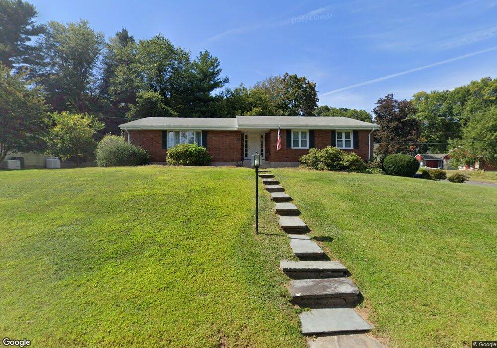
5 Lorelei Cir Middletown, CT 06457
Estimated Value: $388,000 - $451,000
3
Beds
2
Baths
1,760
Sq Ft
$242/Sq Ft
Est. Value
About This Home
This home is located at 5 Lorelei Cir, Middletown, CT 06457 and is currently estimated at $426,175, approximately $242 per square foot. 5 Lorelei Cir is a home located in Middlesex County with nearby schools including Wilbert Snow Elementary School, Middletown High School, and St John Paul II School.
Ownership History
Date
Name
Owned For
Owner Type
Purchase Details
Closed on
Nov 21, 2005
Sold by
Pimentel Julia
Bought by
Pimentel Antonio
Current Estimated Value
Purchase Details
Closed on
Apr 5, 1999
Sold by
Costa David A and Costa Kathy L
Bought by
Pimentel Julia
Purchase Details
Closed on
Oct 21, 1996
Sold by
Ravizza Laura C
Bought by
Costa David A and Costa Kathy L
Purchase Details
Closed on
Mar 18, 1996
Sold by
Gerarde Donald R and Gerarde Coury-Gerarde C
Bought by
Ravizza Laura C
Create a Home Valuation Report for This Property
The Home Valuation Report is an in-depth analysis detailing your home's value as well as a comparison with similar homes in the area
Home Values in the Area
Average Home Value in this Area
Purchase History
| Date | Buyer | Sale Price | Title Company |
|---|---|---|---|
| Pimentel Antonio | $250,000 | -- | |
| Pimentel Julia | $155,000 | -- | |
| Costa David A | $145,500 | -- | |
| Ravizza Laura C | $150,000 | -- |
Source: Public Records
Mortgage History
| Date | Status | Borrower | Loan Amount |
|---|---|---|---|
| Open | Ravizza Laura C | $50,000 | |
| Closed | Ravizza Laura C | $75,000 | |
| Previous Owner | Ravizza Laura C | $10,000 |
Source: Public Records
Tax History Compared to Growth
Tax History
| Year | Tax Paid | Tax Assessment Tax Assessment Total Assessment is a certain percentage of the fair market value that is determined by local assessors to be the total taxable value of land and additions on the property. | Land | Improvement |
|---|---|---|---|---|
| 2024 | $7,938 | $215,700 | $78,180 | $137,520 |
| 2023 | $7,571 | $215,700 | $78,180 | $137,520 |
| 2022 | $6,895 | $156,700 | $52,120 | $104,580 |
| 2021 | $6,895 | $156,700 | $52,120 | $104,580 |
| 2020 | $6,926 | $156,700 | $52,120 | $104,580 |
| 2019 | $6,957 | $156,700 | $52,120 | $104,580 |
| 2018 | $6,848 | $156,700 | $52,120 | $104,580 |
| 2017 | $7,303 | $172,230 | $61,840 | $110,390 |
| 2016 | $7,096 | $172,230 | $61,840 | $110,390 |
| 2015 | $6,820 | $172,230 | $61,840 | $110,390 |
| 2014 | $6,889 | $172,230 | $61,840 | $110,390 |
Source: Public Records
Map
Nearby Homes
- 10 Lorelei Cir
- 311 Long Ln
- 74 Clarence Ct
- 100 Jack English Dr
- 126 Highland Ave
- 37 Mckenna Dr
- 17 Mckenna Dr
- 956 S Main St Unit 956
- 66 Durant Terrace
- 58 Durant Terrace
- 505 Hunting Hill Ave
- 0 Arbutus St Unit 24065180
- 193 Hendley St
- 56 Jefferson Ave
- 11 Huber Ave
- 101 High St
- 234 S Main St Unit 414
- 40 Batt St
- 85 Spencer Dr
- 156 S Main St