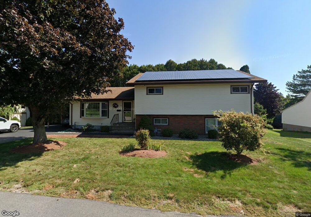
5 Memory Ln Milford, MA 01757
Estimated Value: $573,000 - $650,000
4
Beds
2
Baths
2,465
Sq Ft
$250/Sq Ft
Est. Value
About This Home
This home is located at 5 Memory Ln, Milford, MA 01757 and is currently estimated at $615,583, approximately $249 per square foot. 5 Memory Ln is a home located in Worcester County with nearby schools including Milford High School and Bethany Christian Academy.
Ownership History
Date
Name
Owned For
Owner Type
Purchase Details
Closed on
Apr 16, 2025
Sold by
Curtis John D and Curtis Leah M
Bought by
Curtis Ft and Curtis
Current Estimated Value
Home Financials for this Owner
Home Financials are based on the most recent Mortgage that was taken out on this home.
Original Mortgage
$466,422
Outstanding Balance
$463,507
Interest Rate
6.65%
Mortgage Type
FHA
Estimated Equity
$152,076
Purchase Details
Closed on
Mar 16, 2022
Sold by
Curtis John and Curtis Leah
Bought by
Curtis Ft and Curtis
Purchase Details
Closed on
Sep 1, 2009
Sold by
Miano Michael J and Miano Jacqueline K
Bought by
Curtis John and Curtis Leah
Home Financials for this Owner
Home Financials are based on the most recent Mortgage that was taken out on this home.
Original Mortgage
$324,022
Interest Rate
5.17%
Mortgage Type
Purchase Money Mortgage
Create a Home Valuation Report for This Property
The Home Valuation Report is an in-depth analysis detailing your home's value as well as a comparison with similar homes in the area
Home Values in the Area
Average Home Value in this Area
Purchase History
| Date | Buyer | Sale Price | Title Company |
|---|---|---|---|
| Curtis Ft | -- | None Available | |
| Curtis Ft | -- | None Available | |
| Curtis John D | -- | None Available | |
| Curtis John D | -- | None Available | |
| Curtis Ft | -- | None Available | |
| Curtis Ft | -- | None Available | |
| Curtis John | $330,000 | -- | |
| Curtis John | $330,000 | -- |
Source: Public Records
Mortgage History
| Date | Status | Borrower | Loan Amount |
|---|---|---|---|
| Open | Curtis John D | $466,422 | |
| Closed | Curtis John D | $466,422 | |
| Previous Owner | Curtis John | $325,145 | |
| Previous Owner | Curtis John | $324,022 | |
| Previous Owner | Curtis John | $70,000 |
Source: Public Records
Tax History
| Year | Tax Paid | Tax Assessment Tax Assessment Total Assessment is a certain percentage of the fair market value that is determined by local assessors to be the total taxable value of land and additions on the property. | Land | Improvement |
|---|---|---|---|---|
| 2025 | $7,181 | $561,000 | $180,400 | $380,600 |
| 2024 | $7,038 | $529,600 | $173,200 | $356,400 |
| 2023 | $6,702 | $463,800 | $144,300 | $319,500 |
| 2022 | $6,404 | $416,100 | $133,500 | $282,600 |
| 2021 | $6,282 | $393,100 | $133,500 | $259,600 |
| 2020 | $6,092 | $381,700 | $133,500 | $248,200 |
| 2019 | $5,617 | $339,600 | $133,500 | $206,100 |
| 2018 | $5,304 | $320,300 | $128,100 | $192,200 |
| 2017 | $5,005 | $298,100 | $128,100 | $170,000 |
| 2016 | $5,116 | $297,800 | $128,100 | $169,700 |
| 2015 | $4,763 | $271,400 | $122,700 | $148,700 |
Source: Public Records
Map
Nearby Homes
- 59 Lawrence St
- 2 Lee St Unit B
- 14 Lawrence St
- 6 Correia Cir Unit B
- 38 Walker Avenue Extension
- 11 Deluca Rd
- 17 Cunniff Ave
- 8 Bandy Ln
- 57 Pine St
- 2 Northrop St
- 6 1/2 Leonard St
- 9 Packard Rd
- 85 Congress St
- 9 Ariana Cir Unit 9
- 6 Park Terrace
- 11 Country Club Ln Unit D
- 33 Chestnut St
- 8 Country Club Ln Unit B
- 0 West St
- 40 Chestnut St
Your Personal Tour Guide
Ask me questions while you tour the home.