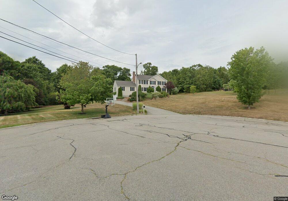
5 Mike Cir Milford, MA 01757
Estimated Value: $688,000 - $783,000
4
Beds
3
Baths
2,656
Sq Ft
$276/Sq Ft
Est. Value
About This Home
This home is located at 5 Mike Cir, Milford, MA 01757 and is currently estimated at $732,234, approximately $275 per square foot. 5 Mike Cir is a home located in Worcester County with nearby schools including Milford High School, Bethany Christian Academy, and Mendon Mennonite School.
Ownership History
Date
Name
Owned For
Owner Type
Purchase Details
Closed on
May 25, 2021
Sold by
Crawley Amy
Bought by
Crawley Todd
Current Estimated Value
Home Financials for this Owner
Home Financials are based on the most recent Mortgage that was taken out on this home.
Original Mortgage
$370,878
Outstanding Balance
$336,108
Interest Rate
3.1%
Mortgage Type
FHA
Estimated Equity
$396,126
Purchase Details
Closed on
Jul 31, 2017
Sold by
Schoenberg Eric S and Schoenberg Megean J
Bought by
Crawley Amy
Home Financials for this Owner
Home Financials are based on the most recent Mortgage that was taken out on this home.
Original Mortgage
$356,000
Interest Rate
3.91%
Mortgage Type
New Conventional
Purchase Details
Closed on
Apr 1, 2004
Sold by
F&D Central Rlty Corp
Bought by
Schoenberg Eric S and Schoenberg Megean J
Home Financials for this Owner
Home Financials are based on the most recent Mortgage that was taken out on this home.
Original Mortgage
$330,975
Interest Rate
5.56%
Mortgage Type
Purchase Money Mortgage
Create a Home Valuation Report for This Property
The Home Valuation Report is an in-depth analysis detailing your home's value as well as a comparison with similar homes in the area
Home Values in the Area
Average Home Value in this Area
Purchase History
| Date | Buyer | Sale Price | Title Company |
|---|---|---|---|
| Crawley Todd | $430,000 | None Available | |
| Crawley Amy | $475,000 | -- | |
| Schoenberg Eric S | $435,650 | -- |
Source: Public Records
Mortgage History
| Date | Status | Borrower | Loan Amount |
|---|---|---|---|
| Open | Crawley Todd | $370,878 | |
| Previous Owner | Crawley Amy | $356,000 | |
| Previous Owner | Schoenberg Eric S | $330,975 |
Source: Public Records
Tax History Compared to Growth
Tax History
| Year | Tax Paid | Tax Assessment Tax Assessment Total Assessment is a certain percentage of the fair market value that is determined by local assessors to be the total taxable value of land and additions on the property. | Land | Improvement |
|---|---|---|---|---|
| 2025 | $9,398 | $734,200 | $226,800 | $507,400 |
| 2024 | $9,304 | $700,100 | $218,100 | $482,000 |
| 2023 | $8,663 | $599,500 | $181,100 | $418,400 |
| 2022 | $8,192 | $532,300 | $165,800 | $366,500 |
| 2021 | $7,790 | $487,500 | $165,800 | $321,700 |
| 2020 | $7,693 | $482,000 | $165,800 | $316,200 |
| 2019 | $7,567 | $457,500 | $165,800 | $291,700 |
| 2018 | $7,531 | $454,800 | $168,000 | $286,800 |
| 2017 | $7,223 | $430,200 | $168,000 | $262,200 |
| 2016 | $7,090 | $412,700 | $168,000 | $244,700 |
| 2015 | $7,080 | $403,400 | $168,000 | $235,400 |
Source: Public Records
Map
Nearby Homes
- 23 Christina Rd
- 97 E Street Extension
- 7 Howard St
- 211A S Main St
- 3 Pouliot St Unit 3
- 30 Whitney St
- 3 S Central St
- 10 Black Bear Unit 10
- 3 Black Bear Cir Unit 3
- 7 Black Bear Unit 7
- 9 Black Bear Cir Unit 9
- 11 Black Bear Unit 11
- 43 Black Bear Cir Unit 43
- 48 Black Bear Cir Unit 48
- 9 Hillside Ave
- 29 Forest St
- 29 Harmony Trail
- 48 Claflin St
- The Brooklyn Plan at Harmony - Subdivision
- The Meadow Plan at Harmony - Subdivision