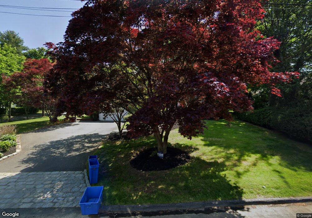
5 Mohegan Ln Rye Brook, NY 10573
Estimated Value: $1,288,000 - $1,406,000
5
Beds
3
Baths
2,469
Sq Ft
$540/Sq Ft
Est. Value
About This Home
This home is located at 5 Mohegan Ln, Rye Brook, NY 10573 and is currently estimated at $1,334,170, approximately $540 per square foot. 5 Mohegan Ln is a home located in Westchester County with nearby schools including Bruno M. Ponterio Ridge Street School, Blind Brook Rye Middle School, and Blind Brook High School.
Ownership History
Date
Name
Owned For
Owner Type
Purchase Details
Closed on
Nov 6, 2023
Sold by
Brown Michael S and Gordon-Brown Marji L
Bought by
Brown Michael S
Current Estimated Value
Purchase Details
Closed on
Aug 1, 2007
Sold by
Whitwell David and Giometti Renee Marie
Bought by
Brown Michael S and Gordon Brown Marji L
Home Financials for this Owner
Home Financials are based on the most recent Mortgage that was taken out on this home.
Original Mortgage
$590,000
Interest Rate
6.67%
Mortgage Type
Unknown
Purchase Details
Closed on
Aug 11, 1998
Sold by
Steinborn Ian D and Steinborn Maija Liisa
Bought by
Giometti Renee Marie and Whitwell David
Create a Home Valuation Report for This Property
The Home Valuation Report is an in-depth analysis detailing your home's value as well as a comparison with similar homes in the area
Home Values in the Area
Average Home Value in this Area
Purchase History
| Date | Buyer | Sale Price | Title Company |
|---|---|---|---|
| Brown Michael S | $220,542 | None Listed On Document | |
| Brown Michael S | $899,000 | Fidelity Natl Title Ins Co | |
| Giometti Renee Marie | $425,000 | Commonwealth Land Title Ins |
Source: Public Records
Mortgage History
| Date | Status | Borrower | Loan Amount |
|---|---|---|---|
| Previous Owner | Brown Michael S | $590,000 |
Source: Public Records
Tax History Compared to Growth
Tax History
| Year | Tax Paid | Tax Assessment Tax Assessment Total Assessment is a certain percentage of the fair market value that is determined by local assessors to be the total taxable value of land and additions on the property. | Land | Improvement |
|---|---|---|---|---|
| 2024 | $28,857 | $1,045,800 | $487,200 | $558,600 |
| 2023 | $26,004 | $1,005,600 | $464,000 | $541,600 |
| 2022 | $25,935 | $948,700 | $464,000 | $484,700 |
| 2021 | $25,660 | $886,600 | $464,000 | $422,600 |
| 2020 | $21,551 | $886,600 | $464,000 | $422,600 |
| 2019 | $40,284 | $842,400 | $429,200 | $413,200 |
| 2018 | $14,548 | $826,100 | $420,300 | $405,800 |
| 2017 | $3,329 | $817,400 | $415,300 | $402,100 |
| 2016 | $17,974 | $786,200 | $383,700 | $402,500 |
| 2015 | -- | $788,600 | $386,100 | $402,500 |
| 2014 | -- | $696,000 | $339,400 | $356,600 |
| 2013 | -- | $668,100 | $311,500 | $356,600 |
Source: Public Records
Map
Nearby Homes
- 60 Talcott Rd
- 345 Betsy Brown Rd
- 80 Valley Terrace
- 9 Wilton Rd
- 4 Mark Dr
- 23 Sylvan Rd
- 22 Old Orchard Rd
- 20 Woodland Dr
- 15 Maywood Ave
- 139 Betsy Brown Rd
- 27 Avon Cir Unit C
- 10 Maywood Ave
- 39 Avon Cir Unit B
- 180 Fairview Ave
- 79 Robert Ave
- 82 Shelley Ave
- 60 Lafayette Dr
- 15 Rockinghorse Trail
- 106 Puritan Dr
- 12 Irenhyl Ave