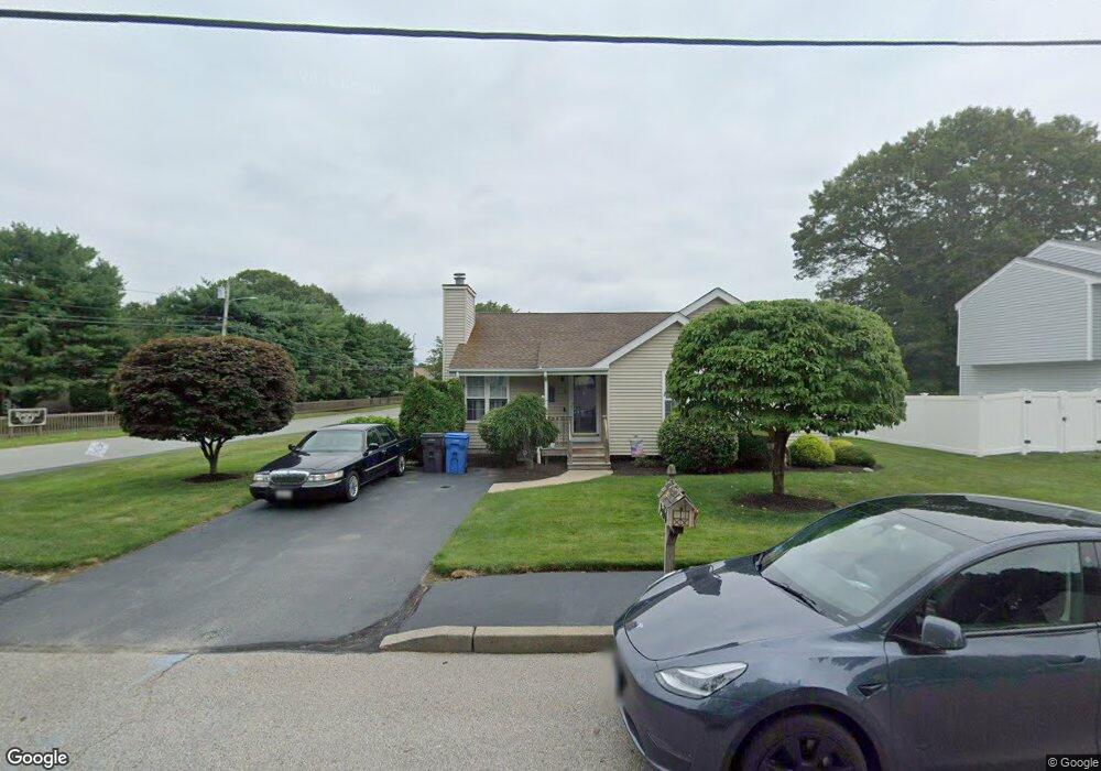
5 Oakwind Terrace Cranston, RI 02920
Mayfield NeighborhoodEstimated Value: $463,081 - $523,000
2
Beds
3
Baths
1,285
Sq Ft
$376/Sq Ft
Est. Value
About This Home
This home is located at 5 Oakwind Terrace, Cranston, RI 02920 and is currently estimated at $482,770, approximately $375 per square foot. 5 Oakwind Terrace is a home located in Providence County with nearby schools including Garden City School, Western Hills Middle School, and Cranston High School West.
Ownership History
Date
Name
Owned For
Owner Type
Purchase Details
Closed on
Dec 28, 2017
Sold by
Manchester Roland R and Manchester Constance A
Bought by
Manchester 2017 Ft
Current Estimated Value
Purchase Details
Closed on
Nov 7, 1994
Sold by
Oakwind Ter Inc
Bought by
Manchester Roland R and Manchester Constance
Home Financials for this Owner
Home Financials are based on the most recent Mortgage that was taken out on this home.
Original Mortgage
$123,400
Interest Rate
8.71%
Create a Home Valuation Report for This Property
The Home Valuation Report is an in-depth analysis detailing your home's value as well as a comparison with similar homes in the area
Home Values in the Area
Average Home Value in this Area
Purchase History
| Date | Buyer | Sale Price | Title Company |
|---|---|---|---|
| Manchester 2017 Ft | -- | -- | |
| Manchester Roland R | $130,000 | -- |
Source: Public Records
Mortgage History
| Date | Status | Borrower | Loan Amount |
|---|---|---|---|
| Previous Owner | Manchester Roland R | $25,000 | |
| Previous Owner | Manchester Roland R | $101,007 | |
| Previous Owner | Manchester Roland R | $123,400 |
Source: Public Records
Tax History Compared to Growth
Tax History
| Year | Tax Paid | Tax Assessment Tax Assessment Total Assessment is a certain percentage of the fair market value that is determined by local assessors to be the total taxable value of land and additions on the property. | Land | Improvement |
|---|---|---|---|---|
| 2025 | $5,284 | $380,700 | $142,700 | $238,000 |
| 2024 | $5,181 | $380,700 | $142,700 | $238,000 |
| 2023 | $5,266 | $278,600 | $102,100 | $176,500 |
| 2022 | $5,157 | $278,600 | $102,100 | $176,500 |
| 2021 | $5,015 | $278,600 | $102,100 | $176,500 |
| 2020 | $5,076 | $244,400 | $102,100 | $142,300 |
| 2019 | $5,076 | $244,400 | $102,100 | $142,300 |
| 2018 | $4,959 | $244,400 | $102,100 | $142,300 |
| 2017 | $4,645 | $202,500 | $87,500 | $115,000 |
| 2016 | $4,546 | $202,500 | $87,500 | $115,000 |
| 2015 | $4,546 | $202,500 | $87,500 | $115,000 |
| 2014 | $4,511 | $197,500 | $83,900 | $113,600 |
Source: Public Records
Map
Nearby Homes
- 5 High St
- 16 Flynn Ave
- 61 Rose Hill Dr
- 14 W Natick Rd
- 33 Samuel Ct
- 20 Manor Rd
- 10 East St Unit 316
- 10 East St Unit 205
- 91 Ridgeway Rd
- 11 Chaple Dr
- 115 Edman St
- 123 Edman St
- 37 Carriage Rd
- 11 Crossland Rd
- 52 Kalmer Rd
- 81 W Pontiac St
- 61 Crossland Rd
- 114 Pontiac St
- 54 River St Unit 4
- 1002 Williamsburg Cir
- 11 Oakwind Terrace
- 160 Bateman Ave
- 15 Oakwind Terrace
- 188 Bateman Ave
- 12 Oakwind Terrace
- 246 Mayfield Ave Unit F
- 246 Mayfield Ave Unit B
- 246 Mayfield Ave Unit C
- 246 Mayfield Ave Unit E
- 246 Mayfield Ave Unit D
- 246 Mayfield Ave Unit A
- 246 Mayfield Ave Unit 246F
- 246 Mayfield Ave Unit 246 A
- 246 Mayfield Ave Unit B
- 6 Sweet Meadow Dr
- 244 Mayfield Ave Unit A
- 244 Mayfield Ave Unit F
- 244 Mayfield Ave Unit E
- 244 Mayfield Ave Unit D
- 244 Mayfield Ave Unit C