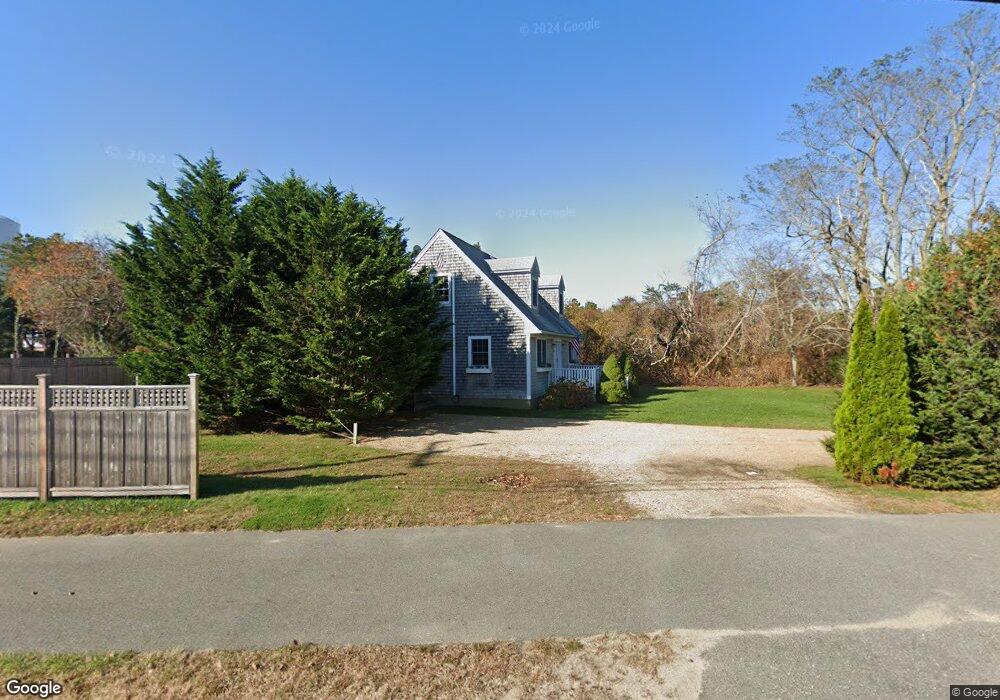
5 Peases Point Rd Edgartown, MA 02539
Edgartown NeighborhoodEstimated Value: $2,190,000 - $3,293,000
4
Beds
3
Baths
2,486
Sq Ft
$1,117/Sq Ft
Est. Value
About This Home
This home is located at 5 Peases Point Rd, Edgartown, MA 02539 and is currently estimated at $2,777,493, approximately $1,117 per square foot. 5 Peases Point Rd is a home located in Dukes County with nearby schools including Edgartown Elementary School and Martha's Vineyard Regional High School.
Ownership History
Date
Name
Owned For
Owner Type
Purchase Details
Closed on
Jul 8, 2023
Sold by
Fenske Reiner G and Fenske Caroline B
Bought by
Fenske Caroline B
Current Estimated Value
Create a Home Valuation Report for This Property
The Home Valuation Report is an in-depth analysis detailing your home's value as well as a comparison with similar homes in the area
Home Values in the Area
Average Home Value in this Area
Purchase History
| Date | Buyer | Sale Price | Title Company |
|---|---|---|---|
| Fenske Caroline B | -- | None Available |
Source: Public Records
Tax History Compared to Growth
Tax History
| Year | Tax Paid | Tax Assessment Tax Assessment Total Assessment is a certain percentage of the fair market value that is determined by local assessors to be the total taxable value of land and additions on the property. | Land | Improvement |
|---|---|---|---|---|
| 2025 | $5,832 | $2,200,600 | $573,600 | $1,627,000 |
| 2024 | $5,248 | $2,058,000 | $573,600 | $1,484,400 |
| 2023 | $5,016 | $1,990,400 | $592,200 | $1,398,200 |
| 2022 | $4,462 | $1,472,600 | $591,500 | $881,100 |
| 2021 | $4,352 | $1,326,800 | $510,400 | $816,400 |
| 2020 | $4,158 | $1,241,100 | $467,700 | $773,400 |
| 2019 | $4,750 | $1,227,300 | $453,900 | $773,400 |
| 2018 | $3,980 | $1,028,500 | $412,700 | $615,800 |
| 2017 | $3,717 | $1,047,000 | $440,200 | $606,800 |
| 2016 | $3,404 | $940,400 | $399,000 | $541,400 |
| 2015 | $3,339 | $962,200 | $399,000 | $563,200 |
Source: Public Records
Map
Nearby Homes
- 8 Herring Creek Rd
- 2 Herring Creek Rd
- 7 Peases Point Rd
- 0 Phases Point Rd Unit 72065506
- 8 Pease Point Rd
- 10 Peases Point Rd
- 6 Peases Point Rd
- 8 Peases Point Rd
- 8 Peases Point Rd
- 190 Katama Rd
- 1 Herring Creek Rd
- 35 Mill Hill Rd
- 200 Katama Rd
- 9 Peases Point Rd
- 20 Herring Creek Rd
- 11 Peases Point Rd
- 00 Herring Creek Road Lots 1 & 2
- 21 Herring Creek Rd
- 202 Katama Rd
- 22 Herring Creek Rd