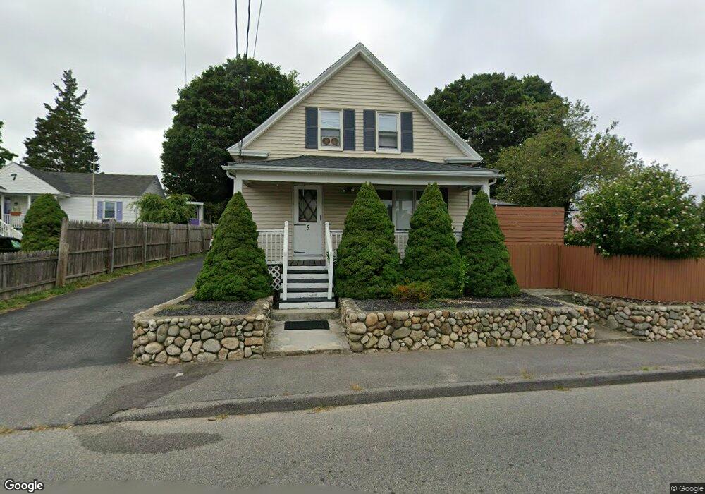
5 Pratt St Taunton, MA 02780
Weir Village NeighborhoodEstimated Value: $475,000 - $492,000
3
Beds
2
Baths
1,608
Sq Ft
$299/Sq Ft
Est. Value
About This Home
This home is located at 5 Pratt St, Taunton, MA 02780 and is currently estimated at $481,124, approximately $299 per square foot. 5 Pratt St is a home located in Bristol County with nearby schools including East Taunton Elementary School, Taunton High School, and Joseph H. Martin.
Ownership History
Date
Name
Owned For
Owner Type
Purchase Details
Closed on
Nov 21, 2003
Sold by
Fraga Antone and Fraga Mary E
Bought by
Kierstead Jacqueline and Kierstead Stephen
Current Estimated Value
Home Financials for this Owner
Home Financials are based on the most recent Mortgage that was taken out on this home.
Original Mortgage
$190,400
Outstanding Balance
$88,147
Interest Rate
5.98%
Mortgage Type
Purchase Money Mortgage
Estimated Equity
$392,977
Purchase Details
Closed on
Oct 22, 2003
Sold by
Kolb Karen and Bart Kathleen
Bought by
Fraga Antone and Fraga Mary E
Home Financials for this Owner
Home Financials are based on the most recent Mortgage that was taken out on this home.
Original Mortgage
$190,400
Outstanding Balance
$88,147
Interest Rate
5.98%
Mortgage Type
Purchase Money Mortgage
Estimated Equity
$392,977
Create a Home Valuation Report for This Property
The Home Valuation Report is an in-depth analysis detailing your home's value as well as a comparison with similar homes in the area
Home Values in the Area
Average Home Value in this Area
Purchase History
| Date | Buyer | Sale Price | Title Company |
|---|---|---|---|
| Kierstead Jacqueline | $238,000 | -- | |
| Fraga Antone | -- | -- |
Source: Public Records
Mortgage History
| Date | Status | Borrower | Loan Amount |
|---|---|---|---|
| Open | Kierstead Jacqueline | $190,400 |
Source: Public Records
Tax History
| Year | Tax Paid | Tax Assessment Tax Assessment Total Assessment is a certain percentage of the fair market value that is determined by local assessors to be the total taxable value of land and additions on the property. | Land | Improvement |
|---|---|---|---|---|
| 2025 | $4,278 | $391,000 | $97,200 | $293,800 |
| 2024 | $3,826 | $341,900 | $97,200 | $244,700 |
| 2023 | $3,740 | $310,400 | $97,200 | $213,200 |
| 2022 | $3,582 | $271,800 | $81,000 | $190,800 |
| 2021 | $3,436 | $242,000 | $73,700 | $168,300 |
| 2020 | $3,284 | $221,000 | $73,700 | $147,300 |
| 2019 | $3,105 | $197,000 | $73,700 | $123,300 |
| 2018 | $3,034 | $193,000 | $73,600 | $119,400 |
| 2017 | $2,718 | $173,000 | $69,800 | $103,200 |
| 2016 | $2,634 | $168,000 | $67,800 | $100,200 |
| 2015 | $2,591 | $172,600 | $68,200 | $104,400 |
| 2014 | $2,509 | $171,700 | $65,800 | $105,900 |
Source: Public Records
Map
Nearby Homes
- 11 Talbot Ave
- 12 Beacon St
- 6 Southeast St
- 90 E Water St
- 4 Staples Ave
- 450 Somerset Ave Unit 3-7
- 24 1st St
- 16 Forest St
- 252 Somerset Ave
- 248 Somerset Ave
- 6 Briggs St
- 36 Linden St
- 21 Briggs St
- 28 Linden St
- 11 Orchard St
- 1 White St
- 29 Johnson St Unit C
- 29 Johnson St Unit A
- 29 Johnson St Unit B
- 25 Johnson St Unit B
Your Personal Tour Guide
Ask me questions while you tour the home.