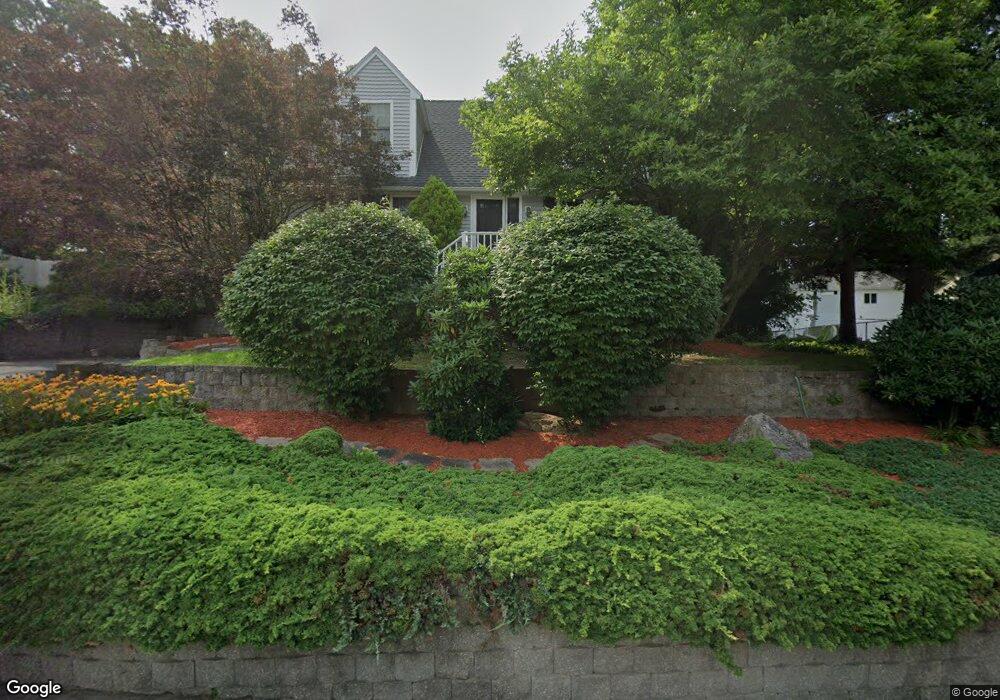
5 Rock St Framingham, MA 01702
Estimated Value: $788,397 - $925,000
4
Beds
3
Baths
2,054
Sq Ft
$402/Sq Ft
Est. Value
About This Home
This home is located at 5 Rock St, Framingham, MA 01702 and is currently estimated at $826,349, approximately $402 per square foot. 5 Rock St is a home located in Middlesex County with nearby schools including Framingham High School, Pincushion Hill Montessori School, and Saint Bridget School.
Ownership History
Date
Name
Owned For
Owner Type
Purchase Details
Closed on
Jun 23, 2008
Sold by
Hartling Linda M and Slaven Richard L
Bought by
Brown Ann L and Brown Christopher L
Current Estimated Value
Home Financials for this Owner
Home Financials are based on the most recent Mortgage that was taken out on this home.
Original Mortgage
$364,500
Outstanding Balance
$234,495
Interest Rate
6.1%
Mortgage Type
Purchase Money Mortgage
Estimated Equity
$591,854
Purchase Details
Closed on
Jun 18, 1999
Sold by
Perrin Elizabeth D
Bought by
Slaven Richard L and Hartling Linda M
Home Financials for this Owner
Home Financials are based on the most recent Mortgage that was taken out on this home.
Original Mortgage
$199,200
Interest Rate
6.99%
Mortgage Type
Purchase Money Mortgage
Purchase Details
Closed on
Jun 5, 1998
Sold by
Carletti Dorothy A
Bought by
Perrin Elizabeth D
Create a Home Valuation Report for This Property
The Home Valuation Report is an in-depth analysis detailing your home's value as well as a comparison with similar homes in the area
Home Values in the Area
Average Home Value in this Area
Purchase History
| Date | Buyer | Sale Price | Title Company |
|---|---|---|---|
| Brown Ann L | $405,000 | -- | |
| Brown Ann L | $405,000 | -- | |
| Slaven Richard L | $249,000 | -- | |
| Perrin Elizabeth D | $60,000 | -- |
Source: Public Records
Mortgage History
| Date | Status | Borrower | Loan Amount |
|---|---|---|---|
| Open | Brown Ann L | $364,500 | |
| Closed | Perrin Elizabeth D | $364,500 | |
| Previous Owner | Perrin Elizabeth D | $207,000 | |
| Previous Owner | Perrin Elizabeth D | $210,000 | |
| Previous Owner | Perrin Elizabeth D | $199,200 |
Source: Public Records
Tax History
| Year | Tax Paid | Tax Assessment Tax Assessment Total Assessment is a certain percentage of the fair market value that is determined by local assessors to be the total taxable value of land and additions on the property. | Land | Improvement |
|---|---|---|---|---|
| 2025 | $9,048 | $757,800 | $262,200 | $495,600 |
| 2024 | $9,242 | $741,700 | $234,200 | $507,500 |
| 2023 | $8,853 | $676,300 | $209,000 | $467,300 |
| 2022 | $8,457 | $615,500 | $189,600 | $425,900 |
| 2021 | $8,232 | $585,900 | $182,300 | $403,600 |
| 2020 | $8,374 | $559,000 | $165,600 | $393,400 |
| 2019 | $8,141 | $529,300 | $165,600 | $363,700 |
| 2018 | $7,969 | $488,300 | $159,500 | $328,800 |
| 2017 | $7,705 | $461,100 | $154,800 | $306,300 |
| 2016 | $7,395 | $425,500 | $154,800 | $270,700 |
| 2015 | $6,884 | $386,300 | $154,700 | $231,600 |
Source: Public Records
Map
Nearby Homes
- 15 Bellmore Rd
- 11 Harmony Ln
- 1116 Waverley
- 15 Seminole Ave
- 45 Daytona Ave
- 51 Pincushion Rd
- 768 Waverley St
- 10 Rhubena St
- 34 Jodie Rd
- 37 Riverview Dr
- 12 & 14 Waverly St
- 87 Hilldale Rd
- 20 Mulhall Dr
- 14 Travis Dr
- 69 Gilbert St
- 292 Hollis St
- 431 America Blvd Unit 64D
- 437 America Blvd Unit 437
- 15 Bates Rd
- 25 Eames St
Your Personal Tour Guide
Ask me questions while you tour the home.