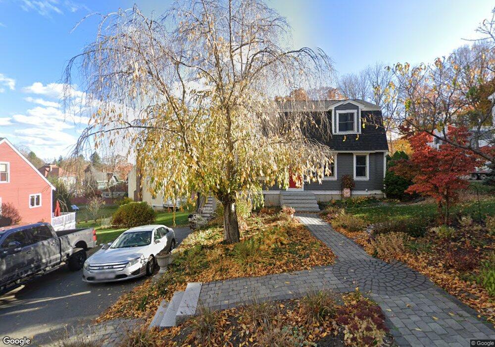
5 Rowell St Amesbury, MA 01913
Estimated Value: $608,000 - $702,000
2
Beds
2
Baths
1,632
Sq Ft
$394/Sq Ft
Est. Value
About This Home
This home is located at 5 Rowell St, Amesbury, MA 01913 and is currently estimated at $642,991, approximately $393 per square foot. 5 Rowell St is a home located in Essex County with nearby schools including Amesbury High School and Amesbury Seventh-Day Adventist School.
Ownership History
Date
Name
Owned For
Owner Type
Purchase Details
Closed on
Nov 1, 1993
Sold by
Sinbad Rt
Bought by
Piechocki Briank and Piechocki Donna
Current Estimated Value
Create a Home Valuation Report for This Property
The Home Valuation Report is an in-depth analysis detailing your home's value as well as a comparison with similar homes in the area
Home Values in the Area
Average Home Value in this Area
Purchase History
| Date | Buyer | Sale Price | Title Company |
|---|---|---|---|
| Piechocki Briank | $133,900 | -- |
Source: Public Records
Mortgage History
| Date | Status | Borrower | Loan Amount |
|---|---|---|---|
| Open | Piechocki Briank | $117,500 | |
| Closed | Piechocki Briank | $50,000 | |
| Closed | Piechocki Briank | $129,500 |
Source: Public Records
Tax History
| Year | Tax Paid | Tax Assessment Tax Assessment Total Assessment is a certain percentage of the fair market value that is determined by local assessors to be the total taxable value of land and additions on the property. | Land | Improvement |
|---|---|---|---|---|
| 2025 | $8,192 | $535,400 | $186,000 | $349,400 |
| 2024 | $7,804 | $499,000 | $175,500 | $323,500 |
| 2023 | $7,304 | $447,000 | $152,600 | $294,400 |
| 2022 | $6,986 | $394,900 | $132,700 | $262,200 |
| 2021 | $6,534 | $358,000 | $102,400 | $255,600 |
| 2020 | $5,793 | $337,200 | $98,500 | $238,700 |
| 2019 | $5,858 | $318,900 | $98,500 | $220,400 |
| 2018 | $5,760 | $303,300 | $93,900 | $209,400 |
| 2017 | $5,899 | $295,700 | $93,900 | $201,800 |
| 2016 | $5,727 | $282,400 | $93,900 | $188,500 |
| 2015 | $5,605 | $272,900 | $93,900 | $179,000 |
| 2014 | -- | $259,600 | $93,900 | $165,700 |
Source: Public Records
Map
Nearby Homes
- 105 Market St Unit B
- 5 Russell St Unit 1
- 101 Market St Unit B
- 149 Market St
- 27 Lake St
- 3 Tremont Ave Unit A
- 25 Cedar St Unit 4
- 48 Orchard St
- 4 Boardman St
- 8 Winter St
- 4 Clark St
- 97 Elm St
- 12 Locke Hill Ln
- 21 Congress St
- 35 Huntington Ave
- 25 Whittier Meadows Dr
- 19 Maple St Unit 21
- 1 Hillside Ave Unit 3
- 21 River St
- 4 Greenwood St
- 7 Rowell St
- 3 Rowell St
- 10 S Hampton Rd
- 10 Rowell St
- 9 Rowell St
- 12 S Hampton Rd
- 12 S Hampton Rd
- 12 S Hampton Rd Unit 12
- 11 Rowell St
- 8 S Hampton Rd
- 4 Rowell St
- 6 S Hampton Rd
- 28 Arlington St
- 26 Arlington St
- 30 Arlington St
- 16 Rowell St
- 14 S Hampton Rd
- 15 S Hampton Rd Unit A
- 15 S Hampton Rd Unit B
- 24 Arlington St
Your Personal Tour Guide
Ask me questions while you tour the home.