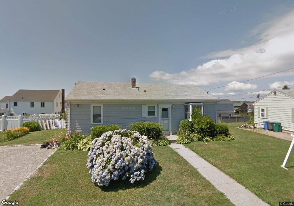
5 S Crest St Middletown, RI 02842
Estimated Value: $1,297,000 - $1,702,000
3
Beds
2
Baths
1,992
Sq Ft
$706/Sq Ft
Est. Value
About This Home
This home is located at 5 S Crest St, Middletown, RI 02842 and is currently estimated at $1,405,675, approximately $705 per square foot. 5 S Crest St is a home located in Newport County with nearby schools including Middletown High School, St Michael's Country Day School, and St George's School.
Ownership History
Date
Name
Owned For
Owner Type
Purchase Details
Closed on
Feb 4, 2025
Sold by
Sweeney Patrish
Bought by
Patrisha L Sweeney T L and Patrisha Sweeney
Current Estimated Value
Purchase Details
Closed on
Apr 26, 2013
Sold by
Meletta Veronica S
Bought by
Sweeney Patrisha
Home Financials for this Owner
Home Financials are based on the most recent Mortgage that was taken out on this home.
Original Mortgage
$384,000
Interest Rate
3.64%
Mortgage Type
New Conventional
Create a Home Valuation Report for This Property
The Home Valuation Report is an in-depth analysis detailing your home's value as well as a comparison with similar homes in the area
Home Values in the Area
Average Home Value in this Area
Purchase History
| Date | Buyer | Sale Price | Title Company |
|---|---|---|---|
| Patrisha L Sweeney T L | -- | None Available | |
| Patrisha L Sweeney T L | -- | None Available | |
| Sweeney Patrisha | -- | -- | |
| Sweeney Patrisha | -- | -- |
Source: Public Records
Mortgage History
| Date | Status | Borrower | Loan Amount |
|---|---|---|---|
| Previous Owner | Sweeney Patrisha | $384,000 | |
| Previous Owner | Sweeney Patrisha | $54,000 |
Source: Public Records
Tax History Compared to Growth
Tax History
| Year | Tax Paid | Tax Assessment Tax Assessment Total Assessment is a certain percentage of the fair market value that is determined by local assessors to be the total taxable value of land and additions on the property. | Land | Improvement |
|---|---|---|---|---|
| 2025 | $12,059 | $1,022,800 | $859,600 | $163,200 |
| 2024 | $11,517 | $1,022,800 | $859,600 | $163,200 |
| 2023 | $8,088 | $642,400 | $505,900 | $136,500 |
| 2022 | $7,722 | $642,400 | $505,900 | $136,500 |
| 2021 | $7,722 | $642,400 | $505,900 | $136,500 |
| 2020 | $7,540 | $548,000 | $423,000 | $125,000 |
| 2018 | $7,535 | $548,000 | $423,000 | $125,000 |
| 2016 | $6,387 | $414,200 | $303,000 | $111,200 |
| 2015 | $6,230 | $414,200 | $303,000 | $111,200 |
| 2014 | $7,140 | $444,300 | $329,400 | $114,900 |
| 2013 | $6,980 | $444,300 | $329,400 | $114,900 |
Source: Public Records
Map
Nearby Homes
- 140 Tuckerman Ave
- 4 James St
- 84 Allston Ave
- 162 Center Ave
- 65 Seascape Ave
- 118 Wolcott Ave
- 202 Reservoir Rd
- 0 Wolcott Ave
- 129 Bliss Mine Rd
- 78 Ellery Rd
- 141 Gray Craig Rd
- 128 Eustis Ave
- 55 John Clarke Rd Unit 8
- 55 John Clarke Rd Unit 3
- 36 Kay Blvd
- 10 Ocean Lawn Ln
- 103 Champlin Place N
- 5 Lowndes St
- 198 Gibbs Ave
- 8 Champlin St
- 3 S Crest St
- 7 S Crest St
- 168 Tuckerman Ave
- 174 Tuckerman Ave
- 160 Tuckerman Ave
- 9 S Crest St
- 8 S Crest St
- 182 Tuckerman Ave
- 146 Tuckerman Ave
- 8 Stimpson St
- 152 Tcukerman Ave
- 11 S Crest St
- 6 Stimpson St
- 171 Tuckerman Ave
- 3 Easton Ave
- 190 Tuckerman Ave
- 173 Tuckerman Ave
- 169 Tuckerman Ave
- 4 Stimpson St
- 152 Tuckerman Ave Unit 2