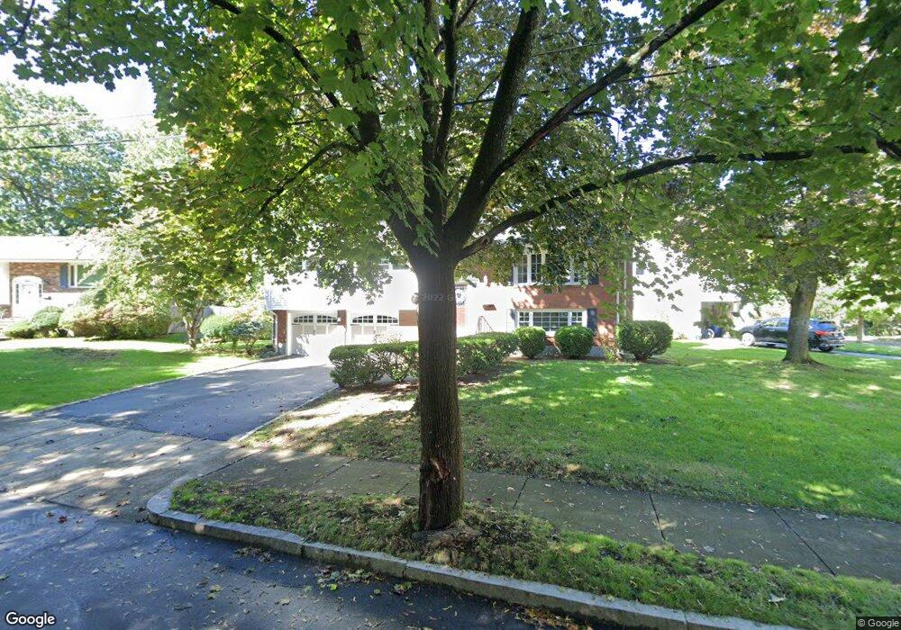
5 Sherrin Rd Newton Lower Falls, MA 02462
Newton Lower Falls NeighborhoodEstimated Value: $1,225,000 - $1,362,000
3
Beds
2
Baths
1,900
Sq Ft
$665/Sq Ft
Est. Value
About This Home
This home is located at 5 Sherrin Rd, Newton Lower Falls, MA 02462 and is currently estimated at $1,263,457, approximately $664 per square foot. 5 Sherrin Rd is a home located in Middlesex County with nearby schools including Williams Elementary School, Angier Elementary School, and Charles E Brown Middle School.
Ownership History
Date
Name
Owned For
Owner Type
Purchase Details
Closed on
Jul 12, 2006
Sold by
Chau Elizabeth W and Chau Benson
Bought by
Yi Ayoung C
Current Estimated Value
Purchase Details
Closed on
Aug 3, 1998
Sold by
Broide Harry and Broide Marilyn
Bought by
Chau Benson and Chau Elizabeth W
Home Financials for this Owner
Home Financials are based on the most recent Mortgage that was taken out on this home.
Original Mortgage
$308,000
Interest Rate
6.92%
Mortgage Type
Purchase Money Mortgage
Create a Home Valuation Report for This Property
The Home Valuation Report is an in-depth analysis detailing your home's value as well as a comparison with similar homes in the area
Home Values in the Area
Average Home Value in this Area
Purchase History
| Date | Buyer | Sale Price | Title Company |
|---|---|---|---|
| Yi Ayoung C | $606,000 | -- | |
| Chau Benson | $385,000 | -- |
Source: Public Records
Mortgage History
| Date | Status | Borrower | Loan Amount |
|---|---|---|---|
| Previous Owner | Chau Benson | $25,000 | |
| Previous Owner | Chau Benson | $308,000 | |
| Previous Owner | Chau Benson | $80,000 |
Source: Public Records
Tax History Compared to Growth
Tax History
| Year | Tax Paid | Tax Assessment Tax Assessment Total Assessment is a certain percentage of the fair market value that is determined by local assessors to be the total taxable value of land and additions on the property. | Land | Improvement |
|---|---|---|---|---|
| 2025 | $9,617 | $981,300 | $851,600 | $129,700 |
| 2024 | $9,298 | $952,700 | $826,800 | $125,900 |
| 2023 | $8,812 | $865,600 | $640,900 | $224,700 |
| 2022 | $8,432 | $801,500 | $593,400 | $208,100 |
| 2021 | $8,136 | $756,100 | $559,800 | $196,300 |
| 2020 | $7,894 | $756,100 | $559,800 | $196,300 |
| 2019 | $7,671 | $734,100 | $543,500 | $190,600 |
| 2018 | $7,415 | $685,300 | $487,600 | $197,700 |
| 2017 | $7,189 | $646,500 | $460,000 | $186,500 |
| 2016 | $6,876 | $604,200 | $429,900 | $174,300 |
| 2015 | $6,556 | $564,700 | $401,800 | $162,900 |
Source: Public Records
Map
Nearby Homes
- 17 Deforest Rd
- 45 Moulton St
- 27 Oakwood Rd
- 2084 Washington St
- 25 Columbia St
- 45 E Quinobequin Rd
- 17 Lasell St
- 7 Crescent St
- 34 Palmer Rd
- 41 Orchard Ave
- 135 Orchard Ave
- 10 Lorraine Cir
- 177 Varick Rd
- 2202 Commonwealth Ave Unit 2
- 2202 Commonwealth Ave Unit 1
- 8 Old Town Rd
- 283 Woodland Rd
- 283 Melrose St
- 1754 Washington St
- 2 Longfellow Rd
- 11 Pierrepont Rd
- 11 Sherrin Rd
- 73 Clearwater Rd
- 23 Pierrepont Rd
- 63 Clearwater Rd
- 14 Sherrin Rd
- 19 Sherrin Rd
- 14 Pierrepont Rd
- 10 Pierrepont Rd
- 20 Pierrepont Rd
- 4 Pierrepont Rd
- 29 Pierrepont Rd
- 55 Clearwater Rd
- 26 Pierrepont Rd
- 52 Crehore Dr
- 74 Clearwater Rd
- 78 Clearwater Rd
- 25 Sherrin Rd
- 68 Clearwater Rd
- 99 Clearwater Rd