5 Sparhawk Ln Kittery Point, ME 03905
Kittery Point NeighborhoodEstimated Value: $1,122,000 - $1,583,000
3
Beds
3
Baths
2,380
Sq Ft
$559/Sq Ft
Est. Value
About This Home
This home is located at 5 Sparhawk Ln, Kittery Point, ME 03905 and is currently estimated at $1,331,554, approximately $559 per square foot. 5 Sparhawk Ln is a home located in York County with nearby schools including Horace Mitchell Primary School, Shapleigh School, and Robert W Traip Academy.
Ownership History
Date
Name
Owned For
Owner Type
Purchase Details
Closed on
Dec 7, 2017
Sold by
Tilton Colette and Burnside Dennis A
Bought by
Colette Tilton 2014 Ret
Current Estimated Value
Purchase Details
Closed on
Apr 24, 2006
Sold by
Attridge J Milton Est
Bought by
Burnside Dennis A and Tilton Colette D
Home Financials for this Owner
Home Financials are based on the most recent Mortgage that was taken out on this home.
Original Mortgage
$417,000
Outstanding Balance
$238,446
Interest Rate
6.37%
Mortgage Type
Purchase Money Mortgage
Estimated Equity
$1,093,108
Create a Home Valuation Report for This Property
The Home Valuation Report is an in-depth analysis detailing your home's value as well as a comparison with similar homes in the area
Home Values in the Area
Average Home Value in this Area
Purchase History
| Date | Buyer | Sale Price | Title Company |
|---|---|---|---|
| Colette Tilton 2014 Ret | -- | -- | |
| Burnside Dennis A | -- | -- |
Source: Public Records
Mortgage History
| Date | Status | Borrower | Loan Amount |
|---|---|---|---|
| Open | Burnside Dennis A | $417,000 | |
| Closed | Burnside Dennis A | $113,000 |
Source: Public Records
Tax History Compared to Growth
Tax History
| Year | Tax Paid | Tax Assessment Tax Assessment Total Assessment is a certain percentage of the fair market value that is determined by local assessors to be the total taxable value of land and additions on the property. | Land | Improvement |
|---|---|---|---|---|
| 2024 | $11,621 | $818,400 | $423,800 | $394,600 |
| 2023 | $11,138 | $818,400 | $423,800 | $394,600 |
| 2022 | $11,032 | $818,400 | $423,800 | $394,600 |
| 2021 | $10,639 | $818,400 | $423,800 | $394,600 |
| 2020 | $10,557 | $818,400 | $423,800 | $394,600 |
| 2019 | $12,538 | $720,600 | $404,000 | $316,600 |
| 2018 | $12,106 | $720,600 | $404,000 | $316,600 |
| 2017 | $11,890 | $720,600 | $404,000 | $316,600 |
| 2016 | $11,566 | $720,600 | $404,000 | $316,600 |
| 2015 | $11,292 | $720,600 | $404,000 | $316,600 |
| 2014 | $11,184 | $720,600 | $404,000 | $316,600 |
| 2013 | $10,968 | $720,600 | $404,000 | $316,600 |
Source: Public Records
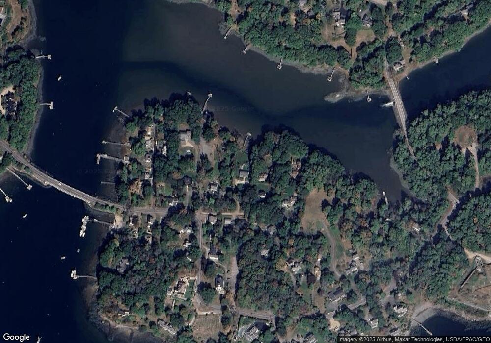
Map
Nearby Homes
- 205 Whipple Rd
- 72 Pepperrell Rd
- 12 Gillis Dr Unit 3
- 17 Elm Ct
- 15 Atkinson St
- 132 Pepperrell Rd
- 116 Whipple Rd
- 24 Seabreeze Ln
- 14 Colonial Ln
- 15 Foyes Ln
- 175 Wentworth Rd
- 58 Foyes Ln
- 18 Mainmast Cir
- 8 Spruce Point Rd
- 10-12 Pine St
- 39 Tenney Hill Rd
- 57 Old Bay Rd
- 165 Rogers Rd
- 167 Little Harbor Rd
- 100 Shepards Cove Rd Unit F204
- 11 Sparhawk Ln
- 7 Sparhawk Ln
- 15 Pepperrell Rd
- 2 Sparhawk Ln
- 4 Sparhawk Ln
- 9 Sparhawk Ln
- 15 Sparhawk Ln
- 7 Pepperrell Rd
- 17 Pepperrell Rd
- 8 Sparhawk Ln
- 11 Pepperrell Rd
- 19 Pepperrell Rd
- 9 Pepperrell Rd
- 10 Sparhawk Ln
- 5 Pepperrell Rd
- 14 Pepperrell Rd
- 4 Duncan Way
- 16 Pepperrell Rd
- 12 Pepperrell Rd
- 3 Duncan Way