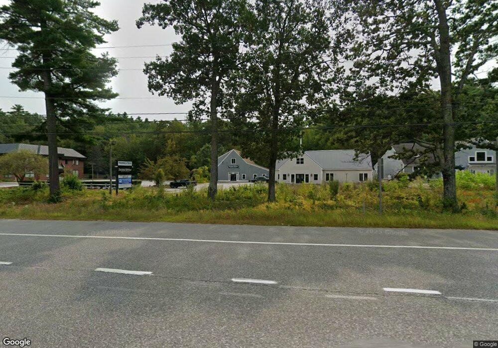
5 State Route 101a Unit 2 Amherst, NH 03031
Estimated Value: $596,000
--
Bed
2
Baths
5,128
Sq Ft
$116/Sq Ft
Est. Value
About This Home
This home is located at 5 State Route 101a Unit 2, Amherst, NH 03031 and is currently priced at $596,000, approximately $116 per square foot. 5 State Route 101a Unit 2 is a home located in Hillsborough County with nearby schools including Wilkins Elementary School, Amherst Middle School, and Souhegan Cooperative High School.
Ownership History
Date
Name
Owned For
Owner Type
Purchase Details
Closed on
Jun 22, 2023
Sold by
Max Five Homes Inc
Bought by
Finial Holdings Llc
Current Estimated Value
Home Financials for this Owner
Home Financials are based on the most recent Mortgage that was taken out on this home.
Original Mortgage
$320,000
Outstanding Balance
$311,443
Interest Rate
6.39%
Mortgage Type
Stand Alone Refi Refinance Of Original Loan
Purchase Details
Closed on
May 27, 2022
Sold by
101A Condo Llc
Bought by
Max 5 Homes Inc
Home Financials for this Owner
Home Financials are based on the most recent Mortgage that was taken out on this home.
Original Mortgage
$175,000
Interest Rate
5%
Mortgage Type
Purchase Money Mortgage
Create a Home Valuation Report for This Property
The Home Valuation Report is an in-depth analysis detailing your home's value as well as a comparison with similar homes in the area
Home Values in the Area
Average Home Value in this Area
Purchase History
| Date | Buyer | Sale Price | Title Company |
|---|---|---|---|
| Finial Holdings Llc | -- | None Available | |
| Max 5 Homes Inc | $265,000 | None Available |
Source: Public Records
Mortgage History
| Date | Status | Borrower | Loan Amount |
|---|---|---|---|
| Open | Finial Holdings Llc | $320,000 | |
| Previous Owner | Max 5 Homes Inc | $175,000 |
Source: Public Records
Tax History Compared to Growth
Tax History
| Year | Tax Paid | Tax Assessment Tax Assessment Total Assessment is a certain percentage of the fair market value that is determined by local assessors to be the total taxable value of land and additions on the property. | Land | Improvement |
|---|---|---|---|---|
| 2024 | $8,624 | $376,100 | $0 | $376,100 |
| 2023 | $8,229 | $376,100 | $0 | $376,100 |
| 2022 | $7,947 | $376,100 | $0 | $376,100 |
| 2021 | $8,015 | $376,100 | $0 | $376,100 |
| 2020 | $0 | $636,800 | $0 | $636,800 |
| 2019 | $0 | $630,600 | $0 | $630,600 |
| 2018 | $0 | $630,600 | $0 | $630,600 |
| 2017 | $0 | $630,600 | $0 | $630,600 |
| 2016 | -- | $630,600 | $0 | $630,600 |
| 2015 | -- | $589,800 | $0 | $589,800 |
| 2014 | -- | $589,800 | $0 | $589,800 |
| 2013 | -- | $589,800 | $0 | $589,800 |
Source: Public Records
Map
Nearby Homes
- 3 Pinewood Dr
- 24 Stearns Rd
- 6 Veterans Rd Unit 15
- 16 Captain Danforth Ln
- 26 Ponemah Rd
- 55 Stearns Rd
- 1 Tamarack Ln
- 6 Cub Cir Unit 18
- 486 Nashua St Unit 110
- 16 James St Unit 104
- 5 Chandler Ln
- 13 Deerwood Dr Unit 13B
- 25 Eastern Ave
- 16 Eastern Ave
- 14 Reserve Way
- 16 Hemlock Hill Rd
- 377 Nashua St
- 12 Crestwood Ct
- 16 Storybrook Ln
- 28 Christine Dr
- 5 State Route 101a
- 5 State Route 101a Unit 4
- 2 Overlook Dr
- 3 Overlook Dr Unit C-4
- 3 Overlook Dr Unit C4
- 3 Overlook Dr Unit Building C Unit 4
- 3 Overlook Dr Unit 3
- 3 Overlook Dr
- 103 Ponemah Rd Unit Lot 8
- 103 Ponemah Rd Unit Lot 2
- 103 Ponemah Rd
- 85 Ponemah Rd
- 86 Ponemah Rd
- 7 Standish Way
- 9 Standish Way
- 105 Ponemah Rd
- 2 Currier Ln
- 13 Standish Way
- 5 Standish Way
- 15 Standish Way