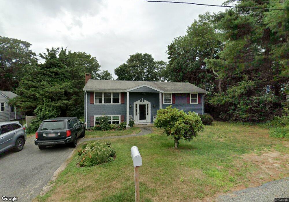
5 Wing Rd Pocasset, MA 02559
Pocasset NeighborhoodEstimated Value: $611,000 - $792,000
5
Beds
2
Baths
1,795
Sq Ft
$392/Sq Ft
Est. Value
About This Home
This home is located at 5 Wing Rd, Pocasset, MA 02559 and is currently estimated at $702,866, approximately $391 per square foot. 5 Wing Rd is a home located in Barnstable County with nearby schools including Bourne High School and Cadence Academy Preschool - Bourne.
Ownership History
Date
Name
Owned For
Owner Type
Purchase Details
Closed on
May 13, 2022
Sold by
Garry Gerard T and Beaulieu Carly
Bought by
Garry Gerard T and Beaulieu Carly
Current Estimated Value
Home Financials for this Owner
Home Financials are based on the most recent Mortgage that was taken out on this home.
Original Mortgage
$135,000
Outstanding Balance
$126,746
Interest Rate
4.67%
Mortgage Type
Purchase Money Mortgage
Estimated Equity
$576,120
Purchase Details
Closed on
Dec 6, 2010
Sold by
Sawin Paul
Bought by
Sawin Paul and Robinson Patricia
Home Financials for this Owner
Home Financials are based on the most recent Mortgage that was taken out on this home.
Original Mortgage
$172,000
Interest Rate
4.83%
Create a Home Valuation Report for This Property
The Home Valuation Report is an in-depth analysis detailing your home's value as well as a comparison with similar homes in the area
Home Values in the Area
Average Home Value in this Area
Purchase History
| Date | Buyer | Sale Price | Title Company |
|---|---|---|---|
| Garry Gerard T | -- | None Available | |
| Garry Gerard T | -- | None Available | |
| Garry Gerard T | $168,750 | None Available | |
| Garry Gerard T | $168,750 | None Available | |
| Sawin Paul | -- | -- | |
| Sawin Paul | -- | -- | |
| Sawin Paul | -- | -- | |
| Sawin Paul | -- | -- | |
| Sawin Paul | -- | -- |
Source: Public Records
Mortgage History
| Date | Status | Borrower | Loan Amount |
|---|---|---|---|
| Open | Garry Gerard T | $135,000 | |
| Closed | Garry Gerard T | $135,000 | |
| Previous Owner | Sawin Paul | $172,000 | |
| Previous Owner | Sawin Paul | $180,000 |
Source: Public Records
Tax History
| Year | Tax Paid | Tax Assessment Tax Assessment Total Assessment is a certain percentage of the fair market value that is determined by local assessors to be the total taxable value of land and additions on the property. | Land | Improvement |
|---|---|---|---|---|
| 2025 | $3,651 | $467,500 | $205,800 | $261,700 |
| 2024 | $3,597 | $448,500 | $196,000 | $252,500 |
| 2023 | $3,431 | $389,400 | $165,900 | $223,500 |
| 2022 | $3,608 | $357,600 | $180,200 | $177,400 |
| 2021 | $3,505 | $325,400 | $164,000 | $161,400 |
| 2020 | $3,402 | $316,800 | $162,400 | $154,400 |
| 2019 | $3,238 | $308,100 | $162,400 | $145,700 |
| 2018 | $3,162 | $300,000 | $154,700 | $145,300 |
| 2017 | $2,943 | $285,700 | $141,900 | $143,800 |
| 2016 | $2,834 | $278,900 | $141,900 | $137,000 |
| 2015 | $3,037 | $301,600 | $164,600 | $137,000 |
Source: Public Records
Map
Nearby Homes
Your Personal Tour Guide
Ask me questions while you tour the home.