Estimated Value: $595,124 - $671,000
3
Beds
3
Baths
1,987
Sq Ft
$318/Sq Ft
Est. Value
About This Home
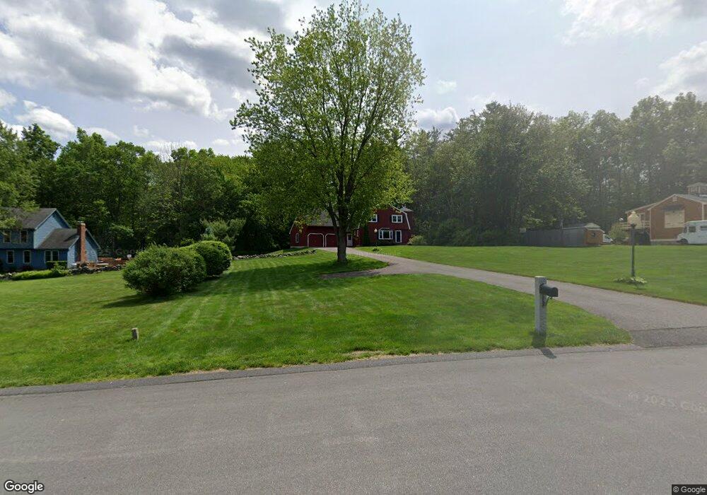
This home is located at 5 Wryan Rd, Derry, NH 03038 and is currently estimated at $632,031, approximately $318 per square foot. 5 Wryan Rd is a home located in Rockingham County with nearby schools including East Derry Memorial Elementary School, Gilbert H. Hood Middle School, and Pinkerton Academy.
Ownership History
Date
Name
Owned For
Owner Type
Purchase Details
Closed on
Jun 22, 2017
Sold by
Allard William T and Allard Lisa M
Bought by
Allard Ft
Current Estimated Value
Purchase Details
Closed on
Jun 24, 1997
Sold by
Bry Michael J and Bry Christine C
Bought by
Allard William T and Allard Lisa M
Home Financials for this Owner
Home Financials are based on the most recent Mortgage that was taken out on this home.
Original Mortgage
$113,900
Interest Rate
7.87%
Create a Home Valuation Report for This Property
The Home Valuation Report is an in-depth analysis detailing your home's value as well as a comparison with similar homes in the area
Home Values in the Area
Average Home Value in this Area
Purchase History
| Date | Buyer | Sale Price | Title Company |
|---|---|---|---|
| Allard Ft | -- | -- | |
| Allard William T | $132,900 | -- |
Source: Public Records
Mortgage History
| Date | Status | Borrower | Loan Amount |
|---|---|---|---|
| Previous Owner | Allard William T | $160,765 | |
| Previous Owner | Allard William T | $140,000 | |
| Previous Owner | Allard William T | $113,900 |
Source: Public Records
Tax History
| Year | Tax Paid | Tax Assessment Tax Assessment Total Assessment is a certain percentage of the fair market value that is determined by local assessors to be the total taxable value of land and additions on the property. | Land | Improvement |
|---|---|---|---|---|
| 2025 | $10,435 | $549,500 | $203,100 | $346,400 |
| 2024 | $10,270 | $549,500 | $203,100 | $346,400 |
| 2023 | $9,170 | $443,400 | $172,600 | $270,800 |
| 2022 | $8,442 | $443,400 | $172,600 | $270,800 |
| 2021 | $8,005 | $323,300 | $132,500 | $190,800 |
| 2020 | $7,872 | $323,300 | $132,500 | $190,800 |
| 2019 | $7,982 | $305,600 | $102,900 | $202,700 |
| 2018 | $8,184 | $305,600 | $102,900 | $202,700 |
| 2017 | $7,450 | $275,000 | $95,900 | $179,100 |
| 2016 | $7,442 | $275,000 | $95,900 | $179,100 |
| 2015 | $7,424 | $254,000 | $95,900 | $158,100 |
| 2014 | $7,473 | $254,000 | $95,900 | $158,100 |
| 2013 | $6,827 | $216,800 | $85,900 | $130,900 |
Source: Public Records
Map
Nearby Homes
- 4 Sheldon Rd
- 211 Hampstead Rd
- 7 Cameron Ct Unit 7
- 3 Pine Bluff
- 1 Cameron Ct Unit 1
- 47 Drew Woods Dr
- 12 Halls Village Rd
- 50 Page Ln
- 0 Jack Rd
- 12 Glastombury Dr
- 128 N Shore Rd
- 15 Bonnie Ln Unit R
- 8 Ians Path
- 11 Sunset Ave
- 118-1 Mills Shore Dr
- 118 Mills Shore Dr
- 4 Shore Dr
- 5 Stone Fence Dr
- 35 Steele Rd
- 343 Island Pond Rd
Your Personal Tour Guide
Ask me questions while you tour the home.