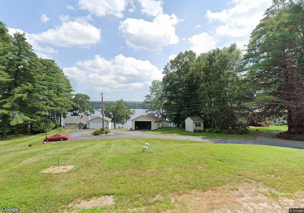
5 Wymans Way Windham, ME 04062
Estimated Value: $393,000 - $456,000
1
Bed
2
Baths
1,060
Sq Ft
$411/Sq Ft
Est. Value
About This Home
This home is located at 5 Wymans Way, Windham, ME 04062 and is currently estimated at $435,655, approximately $410 per square foot. 5 Wymans Way is a home with nearby schools including Windham Primary School, Manchester School, and Windham Middle School.
Ownership History
Date
Name
Owned For
Owner Type
Purchase Details
Closed on
Aug 3, 2015
Sold by
Libby Debra S and Libby Allan M
Bought by
Wyman Carol B and Wyman Jeffrey D
Current Estimated Value
Home Financials for this Owner
Home Financials are based on the most recent Mortgage that was taken out on this home.
Original Mortgage
$192,000
Outstanding Balance
$73,275
Interest Rate
3.19%
Mortgage Type
New Conventional
Estimated Equity
$362,380
Purchase Details
Closed on
Aug 4, 2008
Sold by
Libby Debra S
Bought by
Libby Debra S and Libby Allan M
Create a Home Valuation Report for This Property
The Home Valuation Report is an in-depth analysis detailing your home's value as well as a comparison with similar homes in the area
Home Values in the Area
Average Home Value in this Area
Purchase History
| Date | Buyer | Sale Price | Title Company |
|---|---|---|---|
| Wyman Carol B | -- | -- | |
| Wyman Carol B | -- | -- | |
| Libby Debra S | -- | -- | |
| Libby Debra S | -- | -- |
Source: Public Records
Mortgage History
| Date | Status | Borrower | Loan Amount |
|---|---|---|---|
| Open | Wyman Carol B | $192,000 | |
| Closed | Wyman Carol B | $192,000 |
Source: Public Records
Tax History Compared to Growth
Tax History
| Year | Tax Paid | Tax Assessment Tax Assessment Total Assessment is a certain percentage of the fair market value that is determined by local assessors to be the total taxable value of land and additions on the property. | Land | Improvement |
|---|---|---|---|---|
| 2024 | $5,034 | $376,200 | $207,600 | $168,600 |
| 2023 | $4,748 | $375,600 | $207,600 | $168,000 |
| 2022 | $4,477 | $375,600 | $207,600 | $168,000 |
| 2021 | $3,575 | $205,100 | $108,700 | $96,400 |
| 2020 | $3,497 | $205,100 | $108,700 | $96,400 |
| 2019 | $3,460 | $205,100 | $108,700 | $96,400 |
| 2018 | $3,378 | $205,100 | $108,700 | $96,400 |
| 2017 | $3,204 | $205,100 | $108,700 | $96,400 |
| 2016 | $3,095 | $205,100 | $108,700 | $96,400 |
| 2015 | $3,001 | $205,100 | $108,700 | $96,400 |
| 2014 | $2,892 | $205,100 | $108,700 | $96,400 |
| 2012 | $2,754 | $205,100 | $108,700 | $96,400 |
Source: Public Records
Map
Nearby Homes
- 11 Haven Rd
- 9 Haven Rd
- 12 Percy Hawkes Rd
- 8 Daybreak Ln Unit 8
- 4 Daybreak Ln Unit 19
- 25 Driftwood Ln Unit 19
- 18 Daybreak Ln Unit 13
- 16 Daybreak Ln Unit 16
- 7 Daybreak Ln Unit 3
- 22 Daybreak Ln Unit 11
- 1 Daybreak Ln Unit 1
- 23 Daybreak Ln Unit 23
- 8 Koorbano Ln
- 53 Johnson Rd
- 42 Johnson Rd
- 8 Livrite Way
- 931 Duck Pond Rd
- 99 Land of Nod Rd
- 87 Mast Rd
- 19 Moss Rd
- 6 Wymans Way
- 8 Chickadee Ln
- 7 Lorn Dr
- 12 Chickadee Ln
- 115 Percy Hawkes Rd
- 43 Pond Villa
- 41 Pond Villa
- 11 Lorn Dr
- 96 Percy Hawkes Rd
- 39 Pond Villa
- 15 Lorn Dr
- 37 Pond Villa
- 107 Percy Hawkes Rd
- 124 Percy Hawkes Rd
- 35 Pond Villa
- 33 Pond Villa
- 16 Pond Villa
- 34 Pond Villa
- 10 Pond Villa Rd
- 122 Percy Hawkes Rd