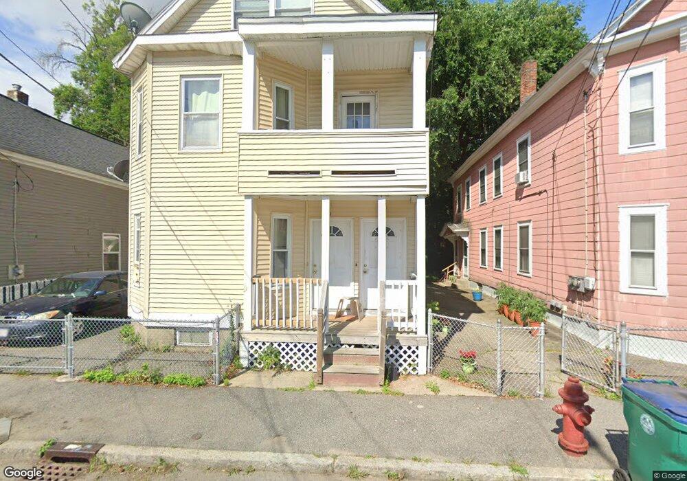
50 Clare St Unit 1st Floor Lowell, MA 01854
Acre NeighborhoodEstimated Value: $586,538 - $780,000
3
Beds
1
Bath
2,751
Sq Ft
$247/Sq Ft
Est. Value
About This Home
This home is located at 50 Clare St Unit 1st Floor, Lowell, MA 01854 and is currently estimated at $678,885, approximately $246 per square foot. 50 Clare St Unit 1st Floor is a home located in Middlesex County with nearby schools including Charlotte M. Murkland Elementary School, Joseph McAvinnue Elementary School, and Charles W. Morey Elementary School.
Ownership History
Date
Name
Owned For
Owner Type
Purchase Details
Closed on
Oct 7, 2008
Sold by
Miguel Daniel and Taylor Bean
Bought by
50-52 Clare Street Rt and Lepine
Current Estimated Value
Purchase Details
Closed on
Feb 7, 2005
Sold by
Chery Armand
Bought by
Miguel Daniel
Home Financials for this Owner
Home Financials are based on the most recent Mortgage that was taken out on this home.
Original Mortgage
$292,000
Interest Rate
5.77%
Mortgage Type
Purchase Money Mortgage
Create a Home Valuation Report for This Property
The Home Valuation Report is an in-depth analysis detailing your home's value as well as a comparison with similar homes in the area
Home Values in the Area
Average Home Value in this Area
Purchase History
| Date | Buyer | Sale Price | Title Company |
|---|---|---|---|
| 50-52 Clare Street Rt | $149,100 | -- | |
| 50-52 Clare Street Rt | $149,100 | -- | |
| Miguel Daniel | $365,000 | -- | |
| Miguel Daniel | $365,000 | -- |
Source: Public Records
Mortgage History
| Date | Status | Borrower | Loan Amount |
|---|---|---|---|
| Previous Owner | Miguel Daniel | $292,000 |
Source: Public Records
Tax History Compared to Growth
Tax History
| Year | Tax Paid | Tax Assessment Tax Assessment Total Assessment is a certain percentage of the fair market value that is determined by local assessors to be the total taxable value of land and additions on the property. | Land | Improvement |
|---|---|---|---|---|
| 2025 | $6,491 | $565,400 | $89,100 | $476,300 |
| 2024 | $6,009 | $504,500 | $83,300 | $421,200 |
| 2023 | $5,604 | $451,200 | $72,400 | $378,800 |
| 2022 | $5,185 | $408,600 | $65,800 | $342,800 |
| 2021 | $4,815 | $357,700 | $57,300 | $300,400 |
| 2020 | $4,354 | $325,900 | $48,900 | $277,000 |
| 2019 | $4,015 | $286,000 | $43,100 | $242,900 |
| 2018 | $3,724 | $258,800 | $41,100 | $217,700 |
| 2017 | $3,523 | $236,100 | $37,300 | $198,800 |
| 2016 | $3,579 | $236,100 | $37,300 | $198,800 |
| 2015 | $3,283 | $212,100 | $38,500 | $173,600 |
| 2013 | $2,813 | $187,400 | $51,100 | $136,300 |
Source: Public Records
Map
Nearby Homes
- 113 School St Unit 12
- 440 Pawtucket St
- 79 School St Unit 2
- 79 School St Unit 1
- 41 Butterfield St
- 11 Columbus Ave
- 75 Bowers St
- 997 Middlesex St Unit 2
- 987 Middlesex St
- 984 Middlesex St
- 267 Pawtucket St
- 1149 Middlesex St
- 312 Wilder St
- 1 Coburn Ct
- 228 Varnum Ave
- 42 Branch St
- 41 Coral St
- 46 2nd Ave
- 58 2nd Ave
- 89 Mammoth Rd
- 52 Clare St Unit 2
- 50 Clare St
- 54 Clare St
- 46 Clare St
- 44 Clare St Unit 2
- 58 Clare St
- 42 Clare St
- 42 Clare St Unit 1
- 42 Clare St Multi014
- 51 Clare St
- 40 Clare St
- 29 Madonna Cir
- 25 Madonna Cir
- 15 Madonna Cir
- 13 Madonna Cir
- 11 Madonna Cir
- 41 Madonna Cir
- 37 Madonna Cir
- 19 Madonna Cir
- 19 Madonna Cir Unit 12