50 Cranberry Cir Eastham, MA 2642
Estimated Value: $475,000 - $888,000
Studio
--
Bath
--
Sq Ft
0.46
Acres Lot
About This Home
This home is located at 50 Cranberry Cir, Eastham, MA 2642 and is currently estimated at $635,000. 50 Cranberry Cir is a home located in Barnstable County with nearby schools including Eastham Elementary School, Nauset Regional Middle School, and Nauset Regional High School.
Ownership History
Date
Name
Owned For
Owner Type
Purchase Details
Closed on
Feb 3, 2014
Sold by
Peter and His
Bought by
Peter Lindenfelser Ft
Current Estimated Value
Purchase Details
Closed on
May 7, 2013
Sold by
Ruth B Lindenfelser Ft
Bought by
Peter Lindenfelser Ft
Purchase Details
Closed on
Dec 7, 2006
Sold by
Lindenfelser Ruth B
Bought by
Ruth B Lindenfelser Ft
Purchase Details
Closed on
Nov 9, 1999
Sold by
Doherty Susan A
Bought by
Lindenfelser Richard and Lindenfelser Ruth B
Create a Home Valuation Report for This Property
The Home Valuation Report is an in-depth analysis detailing your home's value as well as a comparison with similar homes in the area
Home Values in the Area
Average Home Value in this Area
Purchase History
We collect this data history from publicly available records. To have your information removed, we recommend requesting removal directly through your county’s website.
| Date | Buyer | Sale Price | Title Company |
|---|---|---|---|
| Peter Lindenfelser Ft | -- | -- | |
| Peter Lindenfelser Ft | -- | -- | |
| Ruth B Lindenfelser Ft | -- | -- | |
| Lindenfelser Richard | $147,000 | -- |
Source: Public Records
Tax History
| Year | Tax Paid | Tax Assessment Tax Assessment Total Assessment is a certain percentage of the fair market value that is determined by local assessors to be the total taxable value of land and additions on the property. | Land | Improvement |
|---|---|---|---|---|
| 2025 | $3,657 | $474,300 | $474,300 | $0 |
| 2024 | $2,690 | $383,800 | $383,800 | $0 |
| 2023 | $2,573 | $355,400 | $355,400 | $0 |
| 2022 | $2,722 | $317,300 | $317,300 | $0 |
| 2021 | $2,648 | $288,400 | $288,400 | $0 |
| 2020 | $2,566 | $294,300 | $294,300 | $0 |
| 2019 | $2,358 | $285,800 | $285,800 | $0 |
| 2018 | $2,201 | $263,600 | $263,600 | $0 |
| 2017 | $2,041 | $258,400 | $258,400 | $0 |
| 2016 | $2,428 | $326,400 | $326,400 | $0 |
| 2015 | $2,272 | $320,000 | $320,000 | $0 |
Source: Public Records
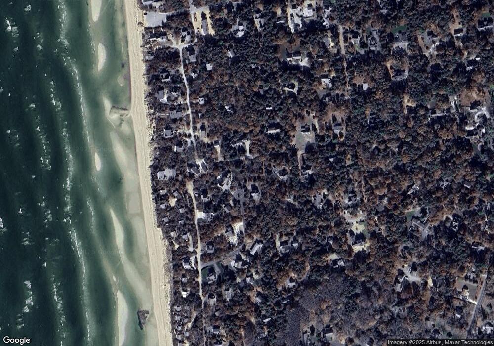
Map
Nearby Homes
- 1690 Herring Brook Rd
- 5 Weir Rd
- 295 Shurtleff Rd
- 20 Billingsgate Ave
- 600 Kingsbury Beach Rd
- 10 Field Rd
- 90 Whitney Rd
- 65 Whitney Rd
- 15 Runway Ln
- 90 Rolling Ln
- 80 Runway Ln
- 1065 Great Pond Rd
- 20 Priscilla Cir
- 5 Anderson Ln
- 3315 State Hwy
- 82 Old Orchard Rd
- 655 Herring Brook Rd
- 10 Alston Ct
- 3098 State Hwy
- 20 Oak Rd
- 35 Cranberry Cir
- 48 Longstreet Ln
- 50 Longstreet Ln
- 30 Cranberry Cir
- 40 Cranberry Cir
- 10 Cranberry Cir
- 44 Cranberry Cir
- 50 Boundary Ln
- 46 Longstreet Ln
- 1 Martha Ave
- 135 Boreen Rd
- 180 Swift Rd
- 47 Longstreet Ln
- 140 Boreen Rd
- 10 Martha Ave
- 8 Cranberry Cir
- 51 Longstreet Ln
- 36 I de ho Ln
- 5 Martha Ave
- 185 Swift Rd
Your Personal Tour Guide
Ask me questions while you tour the home.