50 Fiddlehead Ln Freeport, ME 04032
Estimated Value: $869,521 - $1,074,000
4
Beds
3
Baths
1,986
Sq Ft
$478/Sq Ft
Est. Value
About This Home
This home is located at 50 Fiddlehead Ln, Freeport, ME 04032 and is currently estimated at $949,380, approximately $478 per square foot. 50 Fiddlehead Ln is a home located in Cumberland County with nearby schools including Morse Street School, Mast Landing School, and Freeport Middle School.
Ownership History
Date
Name
Owned For
Owner Type
Purchase Details
Closed on
Nov 14, 2008
Sold by
Fougere Elaine A
Bought by
Francis Joshua B and Francis Patricia K
Current Estimated Value
Home Financials for this Owner
Home Financials are based on the most recent Mortgage that was taken out on this home.
Original Mortgage
$330,000
Interest Rate
5.99%
Mortgage Type
Unknown
Create a Home Valuation Report for This Property
The Home Valuation Report is an in-depth analysis detailing your home's value as well as a comparison with similar homes in the area
Home Values in the Area
Average Home Value in this Area
Purchase History
| Date | Buyer | Sale Price | Title Company |
|---|---|---|---|
| Francis Joshua B | -- | -- |
Source: Public Records
Mortgage History
| Date | Status | Borrower | Loan Amount |
|---|---|---|---|
| Open | Francis Joshua B | $370,400 | |
| Closed | Francis Joshua B | $330,000 | |
| Closed | Francis Joshua B | $285,000 | |
| Previous Owner | Francis Joshua B | $300,000 |
Source: Public Records
Tax History
| Year | Tax Paid | Tax Assessment Tax Assessment Total Assessment is a certain percentage of the fair market value that is determined by local assessors to be the total taxable value of land and additions on the property. | Land | Improvement |
|---|---|---|---|---|
| 2025 | $8,894 | $642,200 | $188,400 | $453,800 |
| 2024 | $8,455 | $633,300 | $179,500 | $453,800 |
| 2023 | $7,758 | $564,200 | $163,100 | $401,100 |
| 2022 | $7,288 | $533,900 | $146,800 | $387,100 |
| 2021 | $7,062 | $529,000 | $146,800 | $382,200 |
| 2020 | $3,197 | $469,200 | $136,000 | $333,200 |
| 2019 | $6,313 | $441,500 | $128,300 | $313,200 |
| 2018 | $6,204 | $412,200 | $122,100 | $290,100 |
| 2017 | $5,920 | $396,000 | $119,300 | $276,700 |
| 2016 | $2,823 | $361,000 | $104,300 | $256,700 |
| 2015 | $5,663 | $337,100 | $93,400 | $243,700 |
| 2014 | $5,326 | $337,100 | $93,400 | $243,700 |
| 2013 | $5,414 | $341,600 | $101,400 | $240,200 |
Source: Public Records
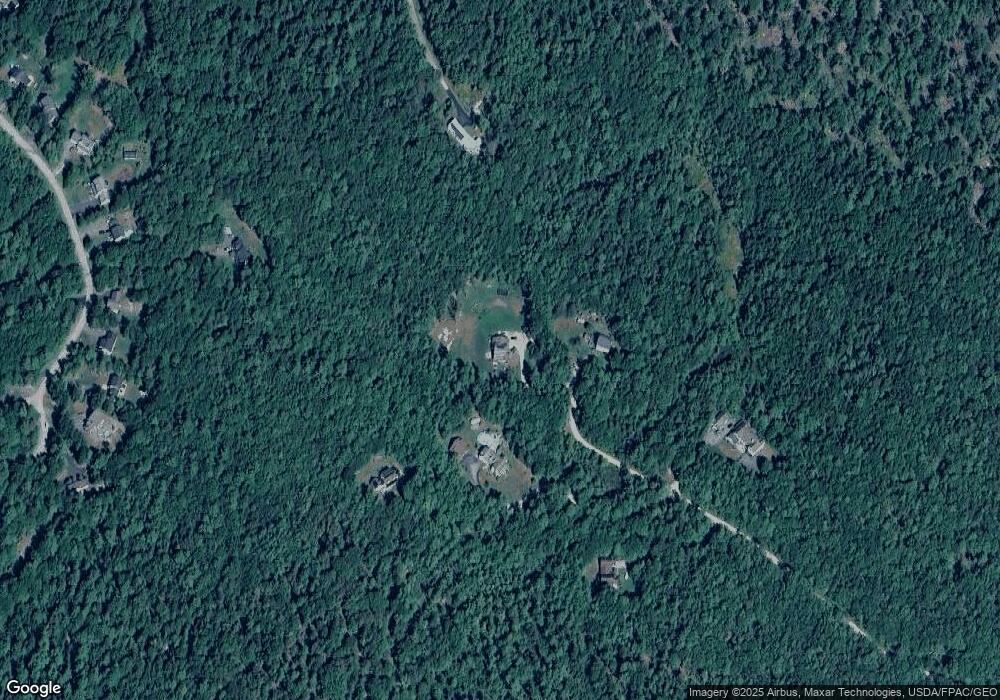
Map
Nearby Homes
- 10 Lower Flying Point Rd
- 15 Tinkers Way
- 853 Mere Point Rd
- 7 Shearwater Way
- 46 Blackstone Club Rd
- 83 Central Ave
- 10 Round Hill Ln
- 0 Prout Rd
- 5 Round Hill Ln
- 46 Casco Rd
- 0 Gundalo Gap Rd Unit 1638108
- 10 Prout Rd
- 52 Birch Point Rd
- 11 Orchard Hill Rd
- Map 80 Lot 18-0 White Island
- 1260 Us Route 1
- 70 Maquoit Dr
- 291 Maquoit Rd
- 6 Miranda St
- 58 Maquoit Dr
- 45 Fiddlehead Ln
- 49 Fiddlehead Ln
- 39 Fiddlehead Ln
- 38 Fiddlehead Ln
- 48 Fiddlehead Ln
- 33 Newfield Rd
- 37 Newfield Road (Lot 14)
- 39 Newfield Rd
- 39+42 Newfield Rd
- 35 Newfield Rd
- 37 Newfield Rd
- 31 Newfield Rd
- Lot #29 Newfield Rd
- Lot10-29 Newfield Rd
- 41 Newfield Rd Unit Lot16
- 29 Newfield Rd
- Lot 30 Newfield Rd
- 50 Moose Crossing
- Lot 28 Newfield Rd
- 43 Newfield Rd
Your Personal Tour Guide
Ask me questions while you tour the home.