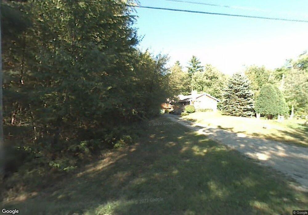
50 Frye Rd East Hampstead, NH 03826
Estimated Value: $557,000 - $671,000
3
Beds
1
Bath
1,768
Sq Ft
$335/Sq Ft
Est. Value
About This Home
This home is located at 50 Frye Rd, East Hampstead, NH 03826 and is currently estimated at $592,480, approximately $335 per square foot. 50 Frye Rd is a home located in Rockingham County with nearby schools including Danville Elementary School, Timberlane Regional Middle School, and Timberlane Regional High School.
Ownership History
Date
Name
Owned For
Owner Type
Purchase Details
Closed on
May 12, 2021
Sold by
Vernooy June R Est
Bought by
Parry Melissa M and Parry Charles E
Current Estimated Value
Purchase Details
Closed on
May 16, 2001
Sold by
Jones Michelle
Bought by
Deleary-Devito Joann
Home Financials for this Owner
Home Financials are based on the most recent Mortgage that was taken out on this home.
Original Mortgage
$174,300
Interest Rate
7.03%
Create a Home Valuation Report for This Property
The Home Valuation Report is an in-depth analysis detailing your home's value as well as a comparison with similar homes in the area
Home Values in the Area
Average Home Value in this Area
Purchase History
| Date | Buyer | Sale Price | Title Company |
|---|---|---|---|
| Parry Melissa M | $145,000 | None Available | |
| Deleary-Devito Joann | $183,500 | -- |
Source: Public Records
Mortgage History
| Date | Status | Borrower | Loan Amount |
|---|---|---|---|
| Previous Owner | Deleary-Devito Joann | $34,878 | |
| Previous Owner | Deleary-Devito Joann | $174,300 |
Source: Public Records
Tax History Compared to Growth
Tax History
| Year | Tax Paid | Tax Assessment Tax Assessment Total Assessment is a certain percentage of the fair market value that is determined by local assessors to be the total taxable value of land and additions on the property. | Land | Improvement |
|---|---|---|---|---|
| 2024 | $8,342 | $377,300 | $145,100 | $232,200 |
| 2023 | $9,512 | $377,300 | $145,100 | $232,200 |
| 2022 | $7,399 | $377,300 | $145,100 | $232,200 |
| 2021 | $7,621 | $377,300 | $145,100 | $232,200 |
| 2020 | $8,095 | $307,800 | $116,900 | $190,900 |
| 2019 | $8,637 | $307,800 | $116,900 | $190,900 |
| 2018 | $8,600 | $307,800 | $116,900 | $190,900 |
| 2017 | $7,870 | $278,600 | $116,900 | $161,700 |
| 2016 | $7,425 | $278,600 | $116,900 | $161,700 |
| 2015 | $7,060 | $236,600 | $100,700 | $135,900 |
| 2014 | $7,015 | $236,600 | $100,700 | $135,900 |
| 2013 | $6,663 | $235,100 | $100,700 | $134,400 |
Source: Public Records
Map
Nearby Homes
- 31 Creek Hill Dr
- 203 Kingston Rd
- 39 Colby Rd
- 9 Lefevre Dr
- 17B Page Rd
- 73 Pine St
- 28 Morning Dove Rd
- 27 Jericho Dr
- 129 New Hampshire 125
- 57 Hampstead Rd
- 1 Kinneret Dr
- 79 Highland Dr
- 12 W Shore Park Rd
- 55 Woodridge Rd
- 1 Remington Dr Unit 904C
- 6 Russett Ln
- 00 Woodridge Rd
- 31 Beatrice St
- 10 Folly Brook Terrace
- 21 W Shore Park Rd