Estimated Value: $301,000 - $307,000
2
Beds
1
Bath
993
Sq Ft
$305/Sq Ft
Est. Value
About This Home
This home is located at 50 Greenwich Plns Rd, Ware, MA 01082 and is currently estimated at $302,719, approximately $304 per square foot. 50 Greenwich Plns Rd is a home located in Hampshire County with nearby schools including Stanley M. Koziol Elementary School, Ware Middle School, and Ware Junior/Senior High School.
Ownership History
Date
Name
Owned For
Owner Type
Purchase Details
Closed on
Mar 3, 2005
Sold by
Laforce Mark A
Bought by
Wilson Bernard G and Morisseau Deborah L
Current Estimated Value
Home Financials for this Owner
Home Financials are based on the most recent Mortgage that was taken out on this home.
Original Mortgage
$137,000
Outstanding Balance
$69,685
Interest Rate
5.66%
Mortgage Type
Purchase Money Mortgage
Estimated Equity
$233,034
Create a Home Valuation Report for This Property
The Home Valuation Report is an in-depth analysis detailing your home's value as well as a comparison with similar homes in the area
Home Values in the Area
Average Home Value in this Area
Purchase History
| Date | Buyer | Sale Price | Title Company |
|---|---|---|---|
| Wilson Bernard G | $172,000 | -- | |
| Laforce Mark A | -- | -- |
Source: Public Records
Mortgage History
| Date | Status | Borrower | Loan Amount |
|---|---|---|---|
| Open | Wilson Bernard G | $137,000 |
Source: Public Records
Tax History Compared to Growth
Tax History
| Year | Tax Paid | Tax Assessment Tax Assessment Total Assessment is a certain percentage of the fair market value that is determined by local assessors to be the total taxable value of land and additions on the property. | Land | Improvement |
|---|---|---|---|---|
| 2025 | $4,175 | $277,200 | $42,900 | $234,300 |
| 2024 | $4,012 | $245,700 | $40,500 | $205,200 |
| 2023 | $3,709 | $214,900 | $39,000 | $175,900 |
| 2022 | $3,499 | $180,900 | $36,100 | $144,800 |
| 2021 | $3,396 | $168,300 | $36,100 | $132,200 |
| 2020 | $3,418 | $165,700 | $36,100 | $129,600 |
| 2019 | $4,272 | $165,700 | $36,100 | $129,600 |
| 2018 | $4,297 | $154,900 | $35,100 | $119,800 |
| 2017 | $4,102 | $149,600 | $35,100 | $114,500 |
| 2016 | $2,813 | $139,200 | $35,100 | $104,100 |
| 2015 | $2,735 | $139,200 | $35,100 | $104,100 |
| 2014 | $2,679 | $146,300 | $35,700 | $110,600 |
Source: Public Records
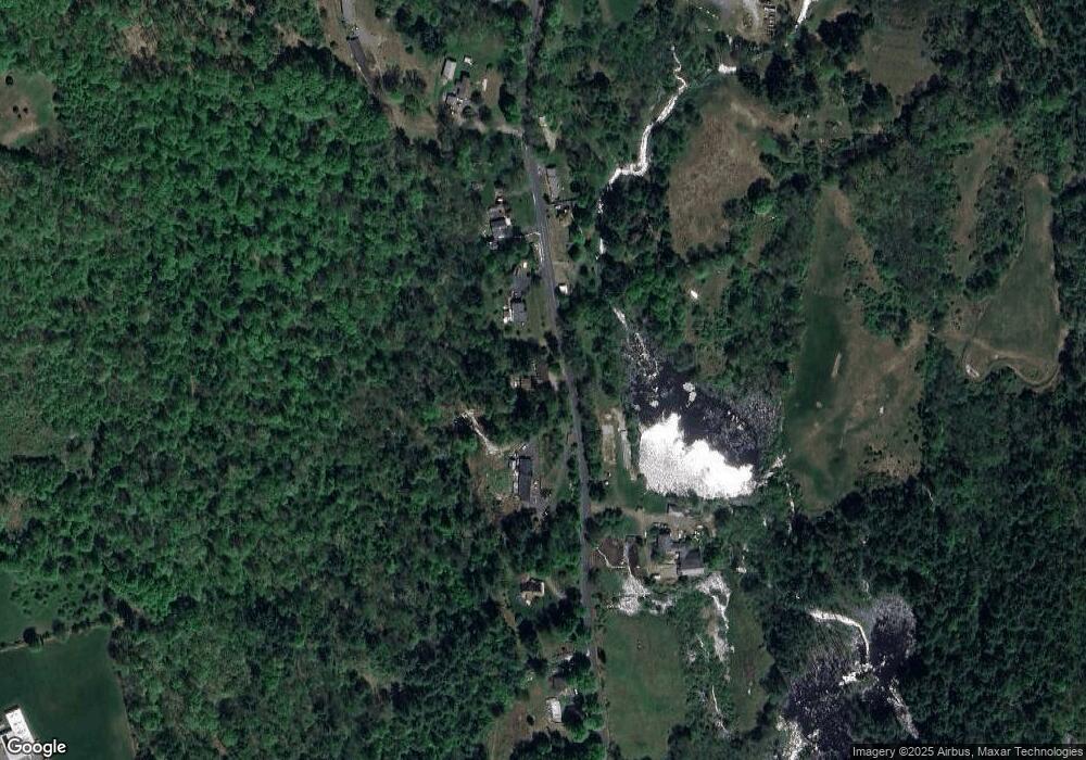
Map
Nearby Homes
- 54 Cummings Rd
- 113 Greenwich Plains Rd
- 84 Anderson Rd
- 36 Berkshire Cir
- 201 Belchertown Rd
- 143 Eagle St
- Lot 40 Osborne Rd
- Lot 23 Coldbrook Dr
- Lot 16 Coldbrook Dr
- Lot 20 Coldbrook Dr
- Lot 22 Coldbrook Dr
- Lot 13 Coldbrook Dr
- Lot 25 Coldbrook Dr
- 84 Greenwich Rd
- 67 Babcock Tavern Rd
- 20 Indian Hill Rd
- LOT 3 Monson Turnpike Rd
- 46 Horseshoe Cir
- 76 Aspen St
- 10 Pearl St
- 54 Greenwich Plns Rd
- 44 Greenwich Plns Rd
- 44 Greenwich Plns Rd
- 56 Greenwich Plns Rd
- 55 Greenwich Plns Rd
- 57 Greenwich Plns Rd
- 42 Greenwich Plns Rd
- 45 Greenwich Plns Rd
- 60 Greenwich Plains Rd
- 38 Greenwich Plns Rd
- 60 Greenwich Plns Rd
- Lot 19 Pennybrook Estates
- Lot 16 Pennybrook Estates
- Lot 22 Pennybrook Estates
- Lot 25 Pennybrook Estates
- Lot 27 Pennybrook Estates
- Lot 26 Pennybrook Estates
- Lot 20 Pennybrook Estates
- Lot 33 Pennybrook Estates
- Lot 32 Pennybrook Estates