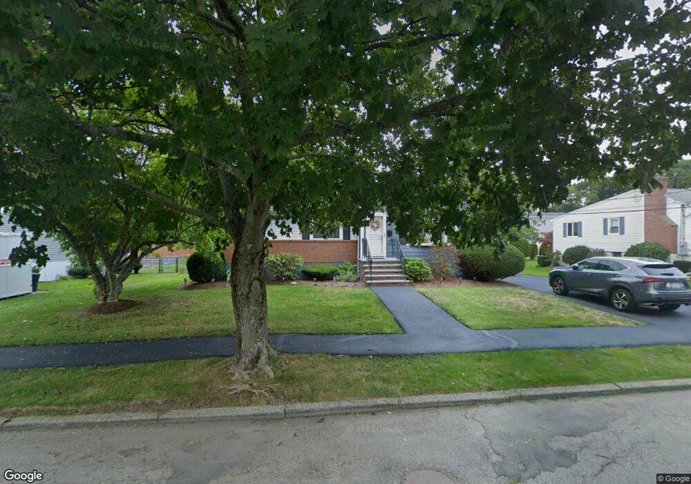
50 Leitha Dr Waltham, MA 02451
North Waltham NeighborhoodEstimated Value: $816,847 - $919,000
3
Beds
2
Baths
1,804
Sq Ft
$488/Sq Ft
Est. Value
About This Home
This home is located at 50 Leitha Dr, Waltham, MA 02451 and is currently estimated at $879,462, approximately $487 per square foot. 50 Leitha Dr is a home located in Middlesex County with nearby schools including Douglas Macarthur Elementary School, John F Kennedy Middle School, and Waltham Sr High School.
Ownership History
Date
Name
Owned For
Owner Type
Purchase Details
Closed on
Aug 28, 2009
Sold by
Deon Joel S and Deon Carol Ann
Bought by
Decola David
Current Estimated Value
Home Financials for this Owner
Home Financials are based on the most recent Mortgage that was taken out on this home.
Original Mortgage
$382,914
Outstanding Balance
$250,170
Interest Rate
5.17%
Mortgage Type
Purchase Money Mortgage
Estimated Equity
$629,292
Create a Home Valuation Report for This Property
The Home Valuation Report is an in-depth analysis detailing your home's value as well as a comparison with similar homes in the area
Home Values in the Area
Average Home Value in this Area
Purchase History
| Date | Buyer | Sale Price | Title Company |
|---|---|---|---|
| Decola David | $420,000 | -- |
Source: Public Records
Mortgage History
| Date | Status | Borrower | Loan Amount |
|---|---|---|---|
| Open | Decola David | $382,914 |
Source: Public Records
Tax History
| Year | Tax Paid | Tax Assessment Tax Assessment Total Assessment is a certain percentage of the fair market value that is determined by local assessors to be the total taxable value of land and additions on the property. | Land | Improvement |
|---|---|---|---|---|
| 2025 | $7,233 | $736,600 | $456,500 | $280,100 |
| 2024 | $6,869 | $712,500 | $436,300 | $276,200 |
| 2023 | $6,793 | $658,200 | $395,900 | $262,300 |
| 2022 | $6,771 | $607,800 | $355,500 | $252,300 |
| 2021 | $6,697 | $591,600 | $355,500 | $236,100 |
| 2020 | $6,385 | $534,300 | $331,300 | $203,000 |
| 2019 | $12,169 | $510,800 | $327,200 | $183,600 |
| 2018 | $6,707 | $450,200 | $303,000 | $147,200 |
| 2017 | $10,560 | $421,900 | $274,700 | $147,200 |
| 2016 | $4,967 | $405,800 | $258,600 | $147,200 |
| 2015 | $4,909 | $373,900 | $226,200 | $147,700 |
Source: Public Records
Map
Nearby Homes
- 89 Hardy Pond Rd
- 1105 Lexington St Unit 6-4
- 7 Field Rd
- 33 Jacqueline Rd Unit D
- 14 Benjamin Rd
- 1393 Trapelo Rd
- 353 Concord Ave
- 44 Lakeview Terrace
- 9 April Ln Unit 9
- 14 Piedmont Ave
- 107 Clocktower Dr Unit 3302
- 63 Montclair Ave
- 28 Hillcrest St
- 23 Hillcrest St
- 11 Autumn Ln
- 45 Webster Rd
- 12 Wellington Lane Ave
- 34 Allen St
- 15 Cedarcroft Ln
- 345 Bishops Forest Dr
Your Personal Tour Guide
Ask me questions while you tour the home.