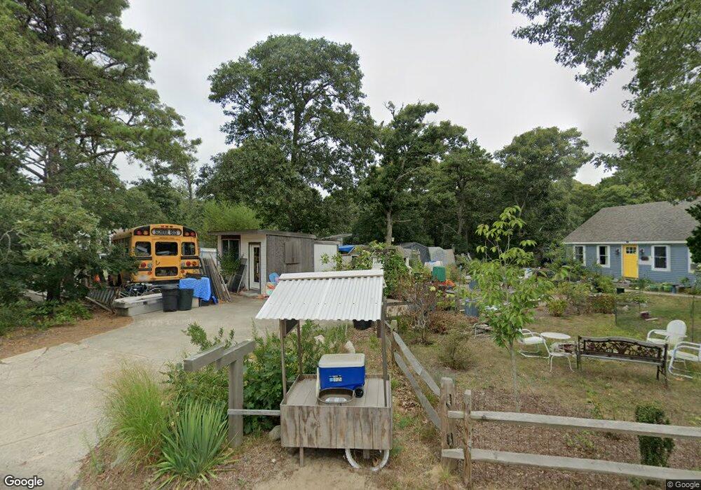
50 Molls Pond Rd Eastham, MA 02642
Estimated Value: $669,000 - $888,000
3
Beds
2
Baths
1,200
Sq Ft
$616/Sq Ft
Est. Value
About This Home
This home is located at 50 Molls Pond Rd, Eastham, MA 02642 and is currently estimated at $738,656, approximately $615 per square foot. 50 Molls Pond Rd is a home located in Barnstable County with nearby schools including Eastham Elementary School, Nauset Regional Middle School, and Nauset Regional High School.
Ownership History
Date
Name
Owned For
Owner Type
Purchase Details
Closed on
Aug 20, 2012
Sold by
Whitlock Peter L
Bought by
Whitlock Peter L and Whitlock Sabrina
Current Estimated Value
Purchase Details
Closed on
Mar 15, 2004
Sold by
Robson Laura Jean Mari
Bought by
Whitlock Peter L
Home Financials for this Owner
Home Financials are based on the most recent Mortgage that was taken out on this home.
Original Mortgage
$75,000
Interest Rate
5.67%
Mortgage Type
Purchase Money Mortgage
Create a Home Valuation Report for This Property
The Home Valuation Report is an in-depth analysis detailing your home's value as well as a comparison with similar homes in the area
Home Values in the Area
Average Home Value in this Area
Purchase History
| Date | Buyer | Sale Price | Title Company |
|---|---|---|---|
| Whitlock Peter L | -- | -- | |
| Whitlock Peter L | $369,000 | -- |
Source: Public Records
Mortgage History
| Date | Status | Borrower | Loan Amount |
|---|---|---|---|
| Previous Owner | Whitlock Peter L | $75,000 |
Source: Public Records
Tax History
| Year | Tax Paid | Tax Assessment Tax Assessment Total Assessment is a certain percentage of the fair market value that is determined by local assessors to be the total taxable value of land and additions on the property. | Land | Improvement |
|---|---|---|---|---|
| 2025 | $4,286 | $555,900 | $290,800 | $265,100 |
| 2024 | $3,810 | $543,500 | $282,300 | $261,200 |
| 2023 | $3,579 | $494,400 | $261,400 | $233,000 |
| 2022 | $3,494 | $407,200 | $233,400 | $173,800 |
| 2021 | $3,430 | $373,600 | $212,100 | $161,500 |
| 2020 | $3,214 | $368,600 | $216,500 | $152,100 |
| 2019 | $2,812 | $340,900 | $191,100 | $149,800 |
| 2018 | $2,767 | $331,400 | $185,500 | $145,900 |
| 2017 | $2,613 | $330,700 | $181,900 | $148,800 |
| 2016 | $2,441 | $328,100 | $181,900 | $146,200 |
| 2015 | $2,290 | $322,500 | $178,300 | $144,200 |
Source: Public Records
Map
Nearby Homes
- 82 Old Orchard Rd
- 300 School House Rd
- 50 Surrey Dr
- 70 Deerfield Ln
- 21 Locust Rd Unit 21
- 255 Massasoit Rd
- 2705 State Hwy
- 2705 State Hwy Unit 1-8
- 600 Kingsbury Beach Rd
- 20 Oak Rd
- 10 Bradford Ln
- 85 Huckleberry Ln
- 18 Jay Dee Ln
- 20 Stone Ct
- 135 Nauset Light Beach Rd
- 245 Nauset Light Beach Rd
- 115 Wamsutta Rd
- 5470 State Hwy
- 100 Gigi Ln
- 55 Grandfathers Way
- 60 Molls Pond Rd
- 40 Molls Pond Rd
- 17 Molls Pond Rd
- 200 Alston Ave
- 270 Alston Ave
- 30 Molls Pond Rd
- 235 Alston Ave
- 30 Moll's Pond Rd
- 225 Alston Ave
- 265 Alston Ave
- 150 Alston Ave
- 275 Alston Ave
- 215 Alston Ave
- 255 Alston Ave
- 10 Alston Ct
- 150 Meetinghouse Rd
- 280 Alston Ave
- 20 Molls Pond Rd
- 155 Alston Ave
- 285 Alston Ave
Your Personal Tour Guide
Ask me questions while you tour the home.