50 Morrill Dr Moultonborough, NH 03254
Estimated Value: $591,000 - $1,323,000
2
Beds
2
Baths
2,790
Sq Ft
$308/Sq Ft
Est. Value
About This Home
This home is located at 50 Morrill Dr, Moultonborough, NH 03254 and is currently estimated at $858,403, approximately $307 per square foot. 50 Morrill Dr is a home located in Carroll County with nearby schools including Moultonborough Central School and Moultonborough Academy High School.
Ownership History
Date
Name
Owned For
Owner Type
Purchase Details
Closed on
Apr 30, 2021
Sold by
Howard Christine S
Bought by
Howard 2021 Ft
Current Estimated Value
Purchase Details
Closed on
Jun 11, 2019
Sold by
Paula W Smart Ret
Bought by
Leonard M Smart Ret
Purchase Details
Closed on
Jun 6, 2019
Sold by
Paula W Smart Ret
Bought by
Leonard M Smart Ret
Purchase Details
Closed on
May 11, 1994
Bought by
Howard Christine S
Create a Home Valuation Report for This Property
The Home Valuation Report is an in-depth analysis detailing your home's value as well as a comparison with similar homes in the area
Home Values in the Area
Average Home Value in this Area
Purchase History
| Date | Buyer | Sale Price | Title Company |
|---|---|---|---|
| Howard 2021 Ft | -- | None Available | |
| Leonard M Smart Ret | -- | -- | |
| Leonard M Smart Ret | -- | -- | |
| Leonard M Smart Ret | -- | -- | |
| Howard Christine S | -- | -- |
Source: Public Records
Mortgage History
| Date | Status | Borrower | Loan Amount |
|---|---|---|---|
| Previous Owner | Howard Christine S | $156,500 | |
| Previous Owner | Howard Christine S | $20,000 |
Source: Public Records
Tax History Compared to Growth
Tax History
| Year | Tax Paid | Tax Assessment Tax Assessment Total Assessment is a certain percentage of the fair market value that is determined by local assessors to be the total taxable value of land and additions on the property. | Land | Improvement |
|---|---|---|---|---|
| 2024 | $2,830 | $500,800 | $141,300 | $359,500 |
| 2023 | $2,599 | $455,900 | $104,400 | $351,500 |
| 2022 | $1,993 | $417,000 | $93,900 | $323,100 |
| 2021 | $2,484 | $355,900 | $78,500 | $277,400 |
| 2020 | $2,443 | $342,700 | $78,500 | $264,200 |
| 2019 | $2,344 | $327,900 | $77,600 | $250,300 |
| 2018 | $2,461 | $318,800 | $73,300 | $245,500 |
| 2017 | $2,513 | $305,700 | $73,300 | $232,400 |
| 2016 | $2,542 | $290,900 | $73,300 | $217,600 |
| 2015 | $2,440 | $270,800 | $73,300 | $197,500 |
| 2014 | $2,222 | $250,800 | $73,300 | $177,500 |
| 2013 | $2,192 | $252,300 | $73,300 | $179,000 |
Source: Public Records
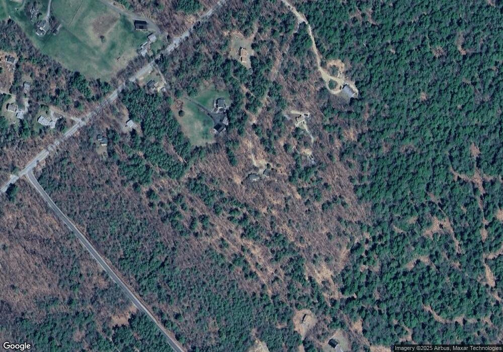
Map
Nearby Homes
- 29 Kona Farm Rd
- 5 Ferry Rd
- 203 Krainewood Dr
- 30 Leopards Leap
- 31 Rays Way
- 22 Tiger Trail
- 21 Orton Ln
- 11 Geery Ln
- 122 Toltec Point Rd
- 33 Blackadar Ln
- 244 Wentworth Shores Rd
- 320 Redding Ln
- 1 Little Beaver Island
- 4 Schneider Rd
- 27 First Point Rd
- 2 Little Badger Island
- 41 Saint Gallen St
- 00 Grande St Unit 44
- 16 Myrtle Dr
- 16 Long Island Rd
- 41 Morrill Dr
- 75 Kona Farm Rd
- 53 Kona Farm Rd
- 77 Kona Farm Rd
- 21 Morrill Dr
- 21 Morrill Dr
- 91 Kona Farm Rd
- 95 Kona Farm Rd
- 20 Crowley Cir
- 11 Hare Farm Rd
- 18 Crowley Cir
- 2 Crowley Cir
- 3 Crowley Cir
- 41 Kona Farm Rd
- 7 Lighthouse Ln
- 55 Jacobs Rd
- 14 Lighthouse Ln
- 16 Crowley Cir
- 10 Crowley Cir
- 54 Hare Farm Rd