50 N Main St Kanosh, UT 84637
Estimated Value: $283,000 - $686,000
--
Bed
--
Bath
--
Sq Ft
1.12
Acres
About This Home
This home is located at 50 N Main St, Kanosh, UT 84637 and is currently estimated at $415,003. 50 N Main St is a home.
Ownership History
Date
Name
Owned For
Owner Type
Purchase Details
Closed on
Oct 15, 2019
Sold by
Rollins Ray D
Bought by
Rollins Ray D and Rollins Tiffany
Current Estimated Value
Purchase Details
Closed on
Nov 22, 2013
Sold by
Whhitaker Betty M
Bought by
Rollins Ray D
Home Financials for this Owner
Home Financials are based on the most recent Mortgage that was taken out on this home.
Original Mortgage
$6,053
Outstanding Balance
$4,473
Interest Rate
4.08%
Estimated Equity
$410,530
Purchase Details
Closed on
Mar 11, 2005
Sold by
The Daughters Of The Utah Pioneerssally
Bought by
Phillips Roger N and Phillips Diane L
Purchase Details
Closed on
Mar 10, 2005
Sold by
Phillips Roger N and Phillips Diane L
Bought by
Whitaker Charles O and Whitaker Betty M
Create a Home Valuation Report for This Property
The Home Valuation Report is an in-depth analysis detailing your home's value as well as a comparison with similar homes in the area
Home Values in the Area
Average Home Value in this Area
Purchase History
| Date | Buyer | Sale Price | Title Company |
|---|---|---|---|
| Rollins Ray D | -- | First American Equity Loan S | |
| Rollins Ray D | -- | -- | |
| Phillips Roger N | -- | First American Title Insuran | |
| Whitaker Charles O | -- | First American Title Insuran |
Source: Public Records
Mortgage History
| Date | Status | Borrower | Loan Amount |
|---|---|---|---|
| Open | Rollins Ray D | $6,053 | |
| Open | Rollins Ray D | $127,645 |
Source: Public Records
Tax History Compared to Growth
Tax History
| Year | Tax Paid | Tax Assessment Tax Assessment Total Assessment is a certain percentage of the fair market value that is determined by local assessors to be the total taxable value of land and additions on the property. | Land | Improvement |
|---|---|---|---|---|
| 2025 | $1,342 | $175,741 | $39,700 | $136,041 |
| 2024 | $1,342 | $148,714 | $35,833 | $112,881 |
| 2023 | $1,392 | $148,714 | $35,833 | $112,881 |
| 2022 | $1,074 | $100,871 | $28,666 | $72,205 |
| 2021 | $945 | $85,648 | $24,927 | $60,721 |
| 2020 | $825 | $75,494 | $22,662 | $52,832 |
| 2019 | $746 | $68,602 | $20,790 | $47,812 |
| 2018 | $735 | $69,297 | $18,900 | $50,397 |
| 2017 | $769 | $69,297 | $18,900 | $50,397 |
| 2016 | $735 | $69,094 | $14,175 | $54,919 |
| 2015 | $735 | $69,094 | $14,175 | $54,919 |
| 2014 | -- | $69,094 | $14,175 | $54,919 |
| 2013 | -- | $87,442 | $14,175 | $73,267 |
Source: Public Records
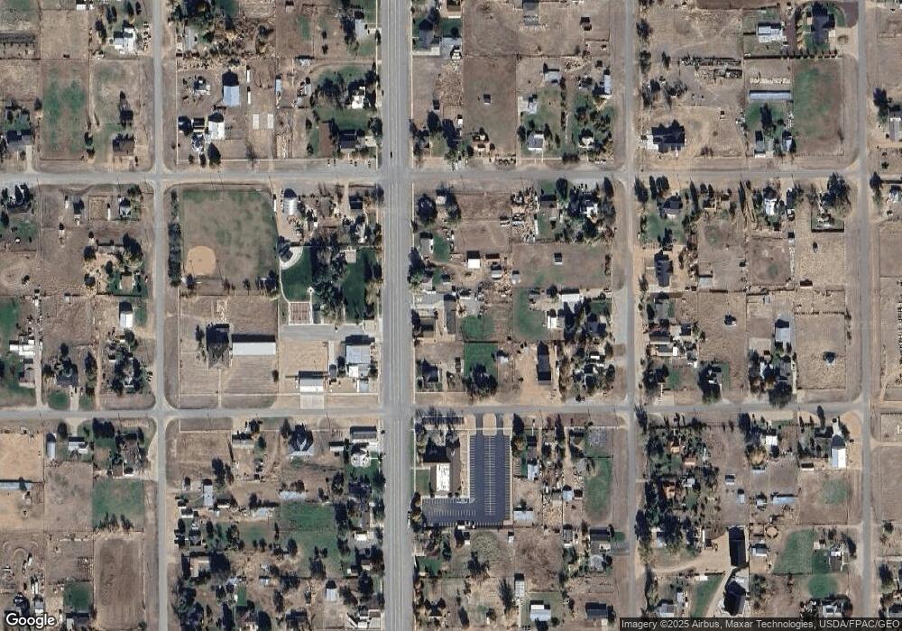
Map
Nearby Homes
- 135 E 200 N
- 115 W 200 S
- 58 E 300 South St
- 8610 S Highway 91
- 5098 W Hatton Rd
- Parcel # 8816
- 145 N 200 E
- 60 W Center St
- 50 N 100 Rd E
- 1565 W Sunflower Ln Unit 3
- 1615 W Sunflower Ln
- 1615 W Sunflower Ln Unit 4
- 1565 W Sunflower Ln
- 0 Tbd Black Rock Rd Unit LotWP001
- 2000 N West Frontage I-15
- 1100 S 725 Rd W
- 310 S 500 West Rd
- 190 W 400 St S
- 760 E 700 St S
- 155 E 500 St S
- 70 N Main St
- 60 N Main St
- 10 N Main St
- 95 N Main St
- 35 E Center St
- 25 N Main St
- 25 N Main St
- 25 N Main St
- 0 NE S 28 T 25s R 9w E1 2 Sec 28 T25s R9w Slm Unit 99471
- 110 N Main St
- 70 E 100 N
- 65 E Center
- 45 E 100 N
- 10 W 100 N
- 65 E 100 N
- 90 E 100 N
- 85 E Center St
- 20 S Main St
- 3775 Canyon Rd
- 3225 Reservation Dr