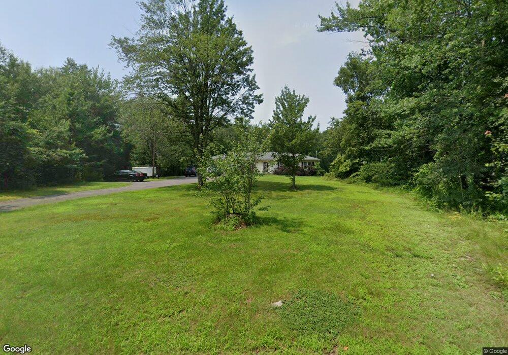
50 Prescott Heights Rd Hooksett, NH 03106
Estimated Value: $441,000 - $545,000
3
Beds
2
Baths
1,296
Sq Ft
$379/Sq Ft
Est. Value
About This Home
This home is located at 50 Prescott Heights Rd, Hooksett, NH 03106 and is currently estimated at $491,133, approximately $378 per square foot. 50 Prescott Heights Rd is a home located in Merrimack County with nearby schools including Fred C. Underhill School, Hooksett Memorial School, and David R. Cawley Middle School.
Ownership History
Date
Name
Owned For
Owner Type
Purchase Details
Closed on
Feb 2, 2010
Sold by
K & N Builders Llc
Bought by
Addario David
Current Estimated Value
Home Financials for this Owner
Home Financials are based on the most recent Mortgage that was taken out on this home.
Original Mortgage
$230,743
Outstanding Balance
$152,101
Interest Rate
4.95%
Mortgage Type
Purchase Money Mortgage
Estimated Equity
$339,032
Purchase Details
Closed on
Feb 9, 2009
Sold by
Townsend Alice S
Bought by
K & N Builders Llc
Create a Home Valuation Report for This Property
The Home Valuation Report is an in-depth analysis detailing your home's value as well as a comparison with similar homes in the area
Home Values in the Area
Average Home Value in this Area
Purchase History
| Date | Buyer | Sale Price | Title Company |
|---|---|---|---|
| Addario David | $235,000 | -- | |
| K & N Builders Llc | $100,000 | -- |
Source: Public Records
Mortgage History
| Date | Status | Borrower | Loan Amount |
|---|---|---|---|
| Open | K & N Builders Llc | $230,743 |
Source: Public Records
Tax History Compared to Growth
Tax History
| Year | Tax Paid | Tax Assessment Tax Assessment Total Assessment is a certain percentage of the fair market value that is determined by local assessors to be the total taxable value of land and additions on the property. | Land | Improvement |
|---|---|---|---|---|
| 2024 | $6,965 | $410,700 | $154,800 | $255,900 |
| 2023 | $6,563 | $410,700 | $154,800 | $255,900 |
| 2022 | $5,847 | $243,100 | $103,400 | $139,700 |
| 2021 | $5,402 | $243,100 | $103,400 | $139,700 |
| 2020 | $5,472 | $243,100 | $103,400 | $139,700 |
| 2019 | $5,239 | $243,100 | $103,400 | $139,700 |
| 2018 | $5,377 | $243,100 | $103,400 | $139,700 |
| 2017 | $5,131 | $191,900 | $95,600 | $96,300 |
| 2016 | $5,064 | $191,900 | $95,600 | $96,300 |
| 2015 | $5,175 | $191,900 | $95,600 | $96,300 |
| 2014 | $5,040 | $191,900 | $95,600 | $96,300 |
| 2013 | -- | $190,600 | $95,600 | $95,000 |
Source: Public Records
Map
Nearby Homes
- 13 Johns Dr
- 15 Johns Dr
- 126 Mammoth Rd Unit 1
- 136 Mammoth Rd Unit 628
- 128 Mammoth Rd Unit 122
- 29 Golden Gate Dr
- 45 Leonard Ave
- 18 Cindy Dr
- 534 Fox Hollow Way
- 286 Londonderry Turnpike Unit A
- 135 Brookview Dr
- 286B Londonderry Turnpike Unit A
- 22 Harmony Ln
- 6 Deerhead St
- 27 Martins Ferry Rd
- 69 Heather Cir
- 6 Gailor Ln
- 541 Pickering St
- 22 Sunrise Cir
- 123 Dave St
- 56 Prescott Heights Rd
- 49 Prescott Heights Rd
- 45 Prescott Heights Rd
- 45 Prescott Heights Rd
- 45 Prescott Heights Rd
- 53 Prescott Heights Rd
- 57 Prescott Heights Rd
- 46 Prescott Heights Rd
- 58 Prescott Heights Rd
- 59 Prescott Heights Rd
- 5 Rockforest Dr
- 3 Rockforest Dr
- 7 Rockforest Dr
- 1 Rockforest Dr
- 41 Prescott Heights Rd
- 61 Prescott Heights Rd
- 62 Prescott Heights Rd
- 9 Rockforest Dr
- 37 Prescott Heights Rd
- 63 Prescott Heights Rd