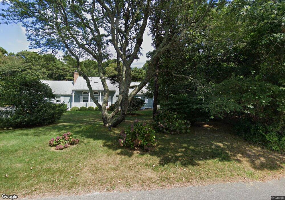
50 Robbins Hill Rd Brewster, MA 02631
Estimated Value: $1,509,000 - $3,162,000
6
Beds
3
Baths
2,751
Sq Ft
$913/Sq Ft
Est. Value
About This Home
This home is located at 50 Robbins Hill Rd, Brewster, MA 02631 and is currently estimated at $2,511,582, approximately $912 per square foot. 50 Robbins Hill Rd is a home located in Barnstable County with nearby schools including Stony Brook Elementary School, Eddy Elementary School, and Nauset Regional Middle School.
Create a Home Valuation Report for This Property
The Home Valuation Report is an in-depth analysis detailing your home's value as well as a comparison with similar homes in the area
Home Values in the Area
Average Home Value in this Area
Tax History Compared to Growth
Tax History
| Year | Tax Paid | Tax Assessment Tax Assessment Total Assessment is a certain percentage of the fair market value that is determined by local assessors to be the total taxable value of land and additions on the property. | Land | Improvement |
|---|---|---|---|---|
| 2025 | $20,392 | $2,963,900 | $2,260,900 | $703,000 |
| 2024 | $19,105 | $2,805,500 | $2,133,000 | $672,500 |
| 2023 | $17,517 | $2,506,000 | $1,904,000 | $602,000 |
| 2022 | $19,368 | $2,467,300 | $1,903,500 | $563,800 |
| 2021 | $18,477 | $2,153,500 | $1,660,900 | $492,600 |
| 2020 | $20,988 | $2,434,800 | $1,941,200 | $493,600 |
| 2019 | $0 | $2,024,400 | $1,556,000 | $468,400 |
| 2018 | $16,626 | $2,012,800 | $1,556,000 | $456,800 |
| 2017 | $1,886 | $1,802,000 | $1,400,400 | $401,600 |
| 2016 | $14,783 | $1,753,600 | $1,373,200 | $380,400 |
| 2015 | $14,187 | $1,717,500 | $1,345,900 | $371,600 |
Source: Public Records
Map
Nearby Homes
- 53 Robbins Hill Rd
- 41 Saints Landing
- 41 Saints Landing
- 53 Robinson Rd
- 192 Robbins Hill Rd
- 180 Robbins Hill Rd
- 194 Robbins Hill Rd
- 196 Robbins Hill Rd
- 0 Robbins Hill
- 38 Saints Landing
- 53 Byfield Cartway
- 160 Robbins Hill Rd
- 179 Robbins Hill Rd
- 187 Robbins Hill Rd
- 234 Robbins Hill Rd
- 0 Ross Rd
- 157 Robbins Hill Rd
- 211 Robbins Hill Rd
- 49 Byfield Cartway
- 141 Robbins Hill Rd