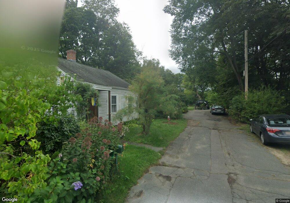
50 Rust Ave Northampton, MA 01060
Florence NeighborhoodEstimated Value: $469,554 - $593,000
3
Beds
1
Bath
1,393
Sq Ft
$382/Sq Ft
Est. Value
About This Home
This home is located at 50 Rust Ave, Northampton, MA 01060 and is currently estimated at $532,389, approximately $382 per square foot. 50 Rust Ave is a home located in Hampshire County with nearby schools including Northampton High School, Hilltown Cooperative Charter Public School, and The Montessori School of Northampton.
Ownership History
Date
Name
Owned For
Owner Type
Purchase Details
Closed on
May 29, 2002
Sold by
Tessier Edward G
Bought by
Leonard Margaret A
Current Estimated Value
Home Financials for this Owner
Home Financials are based on the most recent Mortgage that was taken out on this home.
Original Mortgage
$150,000
Outstanding Balance
$64,274
Interest Rate
7%
Mortgage Type
Purchase Money Mortgage
Estimated Equity
$468,115
Purchase Details
Closed on
Jul 21, 1997
Sold by
Caoueette Roger W
Bought by
Tessier Edward G
Home Financials for this Owner
Home Financials are based on the most recent Mortgage that was taken out on this home.
Original Mortgage
$42,000
Interest Rate
7.79%
Mortgage Type
Purchase Money Mortgage
Create a Home Valuation Report for This Property
The Home Valuation Report is an in-depth analysis detailing your home's value as well as a comparison with similar homes in the area
Home Values in the Area
Average Home Value in this Area
Purchase History
| Date | Buyer | Sale Price | Title Company |
|---|---|---|---|
| Leonard Margaret A | $215,000 | -- | |
| Tessier Edward G | $40,725 | -- |
Source: Public Records
Mortgage History
| Date | Status | Borrower | Loan Amount |
|---|---|---|---|
| Open | Tessier Edward G | $150,000 | |
| Closed | Tessier Edward G | $100,000 | |
| Previous Owner | Tessier Edward G | $42,000 | |
| Previous Owner | Tessier Edward G | $28,000 |
Source: Public Records
Tax History
| Year | Tax Paid | Tax Assessment Tax Assessment Total Assessment is a certain percentage of the fair market value that is determined by local assessors to be the total taxable value of land and additions on the property. | Land | Improvement |
|---|---|---|---|---|
| 2025 | $5,905 | $423,900 | $132,900 | $291,000 |
| 2024 | $4,855 | $319,600 | $132,900 | $186,700 |
| 2023 | $4,871 | $307,500 | $120,600 | $186,900 |
| 2022 | $4,320 | $241,500 | $113,000 | $128,500 |
| 2021 | $4,120 | $237,200 | $107,600 | $129,600 |
| 2020 | $3,985 | $237,200 | $107,600 | $129,600 |
| 2019 | $3,870 | $222,800 | $100,400 | $122,400 |
| 2018 | $3,742 | $219,600 | $100,400 | $119,200 |
| 2017 | $3,665 | $219,600 | $100,400 | $119,200 |
| 2016 | $3,549 | $219,600 | $100,400 | $119,200 |
| 2015 | $3,626 | $229,500 | $104,800 | $124,700 |
| 2014 | $3,532 | $229,500 | $104,800 | $124,700 |
Source: Public Records
Map
Nearby Homes
- 23 Ford Crossing
- 18 Cedar St
- 283 South St
- 61 Harrison Ave
- 218 Elm St
- 12 School St
- 4 School St
- 57 Columbus Ave
- 63 Riverside Dr
- 244 Main St
- 231 Main St Unit 3R
- 296 Old Wilson Rd
- 61 Woodlawn Ave
- 635 Florence Rd
- 43 Center St Unit K
- 697 Florence Rd
- 61 Crescent St Unit 8
- 61 Crescent St Unit 7
- 23 Randolph Place Unit 109
- 29 Pleasant St Unit 1
Your Personal Tour Guide
Ask me questions while you tour the home.