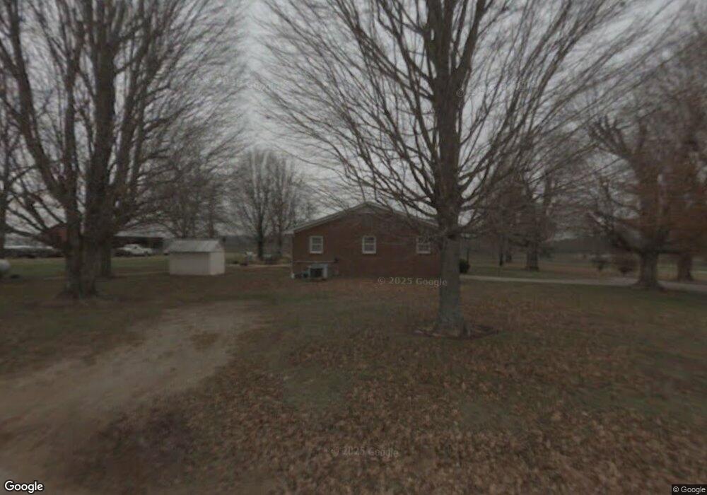
50 Tic Tac Mill Rd Morrison, TN 37357
Estimated Value: $277,000 - $562,000
--
Bed
2
Baths
1,894
Sq Ft
$231/Sq Ft
Est. Value
About This Home
This home is located at 50 Tic Tac Mill Rd, Morrison, TN 37357 and is currently estimated at $436,861, approximately $230 per square foot. 50 Tic Tac Mill Rd is a home located in Warren County with nearby schools including Morrison Elementary School and Warren County High School.
Ownership History
Date
Name
Owned For
Owner Type
Purchase Details
Closed on
Jun 15, 2011
Sold by
Miller David
Bought by
Pursley Michael E and Pursley Rebecca L
Current Estimated Value
Purchase Details
Closed on
Dec 26, 2001
Sold by
Faye Clark
Bought by
Michael Pursley
Home Financials for this Owner
Home Financials are based on the most recent Mortgage that was taken out on this home.
Original Mortgage
$159,600
Interest Rate
6.72%
Purchase Details
Closed on
Mar 2, 1990
Bought by
Faye Clark
Purchase Details
Closed on
Sep 3, 1968
Bought by
Martin H Brown
Create a Home Valuation Report for This Property
The Home Valuation Report is an in-depth analysis detailing your home's value as well as a comparison with similar homes in the area
Home Values in the Area
Average Home Value in this Area
Purchase History
| Date | Buyer | Sale Price | Title Company |
|---|---|---|---|
| Pursley Michael E | $49,000 | -- | |
| Michael Pursley | $168,000 | -- | |
| Faye Clark | -- | -- | |
| Martin H Brown | -- | -- |
Source: Public Records
Mortgage History
| Date | Status | Borrower | Loan Amount |
|---|---|---|---|
| Previous Owner | Martin H Brown | $159,600 |
Source: Public Records
Tax History Compared to Growth
Tax History
| Year | Tax Paid | Tax Assessment Tax Assessment Total Assessment is a certain percentage of the fair market value that is determined by local assessors to be the total taxable value of land and additions on the property. | Land | Improvement |
|---|---|---|---|---|
| 2024 | $1,415 | $71,900 | $13,400 | $58,500 |
| 2023 | $1,415 | $71,900 | $13,400 | $58,500 |
| 2022 | $1,415 | $71,900 | $13,400 | $58,500 |
| 2021 | $1,415 | $71,900 | $13,400 | $58,500 |
| 2020 | $1,381 | $71,900 | $13,400 | $58,500 |
| 2019 | $1,578 | $70,225 | $12,100 | $58,125 |
| 2018 | $1,381 | $70,225 | $12,100 | $58,125 |
| 2017 | $1,270 | $70,225 | $12,100 | $58,125 |
| 2016 | $1,270 | $64,600 | $12,100 | $52,500 |
| 2015 | $1,289 | $64,600 | $12,100 | $52,500 |
| 2014 | $1,183 | $64,600 | $12,100 | $52,500 |
| 2013 | $1,183 | $59,283 | $0 | $0 |
Source: Public Records
Map
Nearby Homes
- 0 Oak St
- 631 W Maple St
- 10157 Manchester Hwy
- 440 W Maple St
- 431 S Fair St
- 120 Boyd St
- 511 N Main St
- 6579 Vervilla Rd
- 231 Tom Johnson Rd
- 00 Marcrom Rd
- 0 Marcrom Rd
- 0 Finger Bluff Rd
- 0 Nanny's Rd
- 92 Hickory Grove Dr
- 205 Lake Villa Cir
- 0 Old Wells Rd
- 1037 Mcafee Rd
- 200 Primrose Ln
- 0 Ramsey Rd
- 1378 Tom Grissom Rd