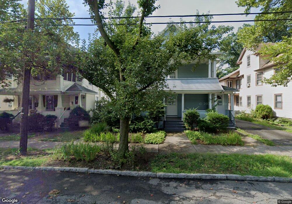
50 Wayne St Unit 52 Springfield, MA 01118
East Forest Park NeighborhoodEstimated Value: $318,073 - $444,000
5
Beds
2
Baths
2,684
Sq Ft
$144/Sq Ft
Est. Value
About This Home
This home is located at 50 Wayne St Unit 52, Springfield, MA 01118 and is currently estimated at $387,518, approximately $144 per square foot. 50 Wayne St Unit 52 is a home located in Hampden County with nearby schools including Mary A. Dryden Veterans Memorial School, M Marcus Kiley Middle, and High School Of Commerce.
Ownership History
Date
Name
Owned For
Owner Type
Purchase Details
Closed on
Sep 29, 2009
Sold by
Chernick Michael J and Leshin Barbara L
Bought by
Burros Joseph
Current Estimated Value
Home Financials for this Owner
Home Financials are based on the most recent Mortgage that was taken out on this home.
Original Mortgage
$123,200
Outstanding Balance
$81,387
Interest Rate
5.31%
Mortgage Type
Purchase Money Mortgage
Estimated Equity
$306,131
Create a Home Valuation Report for This Property
The Home Valuation Report is an in-depth analysis detailing your home's value as well as a comparison with similar homes in the area
Home Values in the Area
Average Home Value in this Area
Purchase History
| Date | Buyer | Sale Price | Title Company |
|---|---|---|---|
| Burros Joseph | $154,000 | -- |
Source: Public Records
Mortgage History
| Date | Status | Borrower | Loan Amount |
|---|---|---|---|
| Open | Burros Joseph | $123,200 |
Source: Public Records
Tax History
| Year | Tax Paid | Tax Assessment Tax Assessment Total Assessment is a certain percentage of the fair market value that is determined by local assessors to be the total taxable value of land and additions on the property. | Land | Improvement |
|---|---|---|---|---|
| 2025 | $4,644 | $296,200 | $31,100 | $265,100 |
| 2024 | $3,996 | $248,800 | $31,100 | $217,700 |
| 2023 | $4,088 | $237,700 | $28,300 | $209,400 |
| 2022 | $3,583 | $190,400 | $28,100 | $162,300 |
| 2021 | $3,453 | $182,700 | $25,600 | $157,100 |
| 2020 | $3,453 | $176,800 | $25,600 | $151,200 |
| 2019 | $3,460 | $175,800 | $25,600 | $150,200 |
| 2018 | $3,245 | $164,900 | $25,600 | $139,300 |
| 2017 | $2,843 | $144,600 | $25,600 | $119,000 |
| 2016 | $2,674 | $136,000 | $25,600 | $110,400 |
| 2015 | $2,614 | $132,900 | $25,600 | $107,300 |
Source: Public Records
Map
Nearby Homes
- 59 Daviston St
- 854-856 Sumner Ave
- 70-72 E Alvord St
- 46 Eckington St
- 410 Allen St
- 77 Dorset St
- 55 Mandalay Rd
- 34 Castle St
- 49-51 Mansfield St
- 88 Brunswick St
- 134 Eddywood St
- 11 Crown St
- 52 Orlando St
- 161 Dorset St
- 13 Bither St
- 914-916 Belmont Ave
- 1088 Sumner Ave
- 170 Plumtree Rd
- 144 Washington St
- 27 Ormond St
- 44 Wayne St Unit 46
- 46 Wayne St
- 54 Wayne St Unit 56
- 40 Wayne St Unit 42
- 40-42 Wayne St
- 40 Wayne St
- 60 Wayne St
- 12 Palmyra St
- 34 Wayne St Unit 36
- 59 Wayne St
- 66 Wayne St
- 47 Daviston St Unit 49
- 22 Palmyra St Unit 24
- 22-24 Palmyra St
- 47-49 Daviston St
- 30 Wayne St Unit 32
- 24 Palmyra St
- 41 Daviston St Unit 43
- 1 Palmyra St Unit 1 1-3
- 1 Palmyra St
Your Personal Tour Guide
Ask me questions while you tour the home.