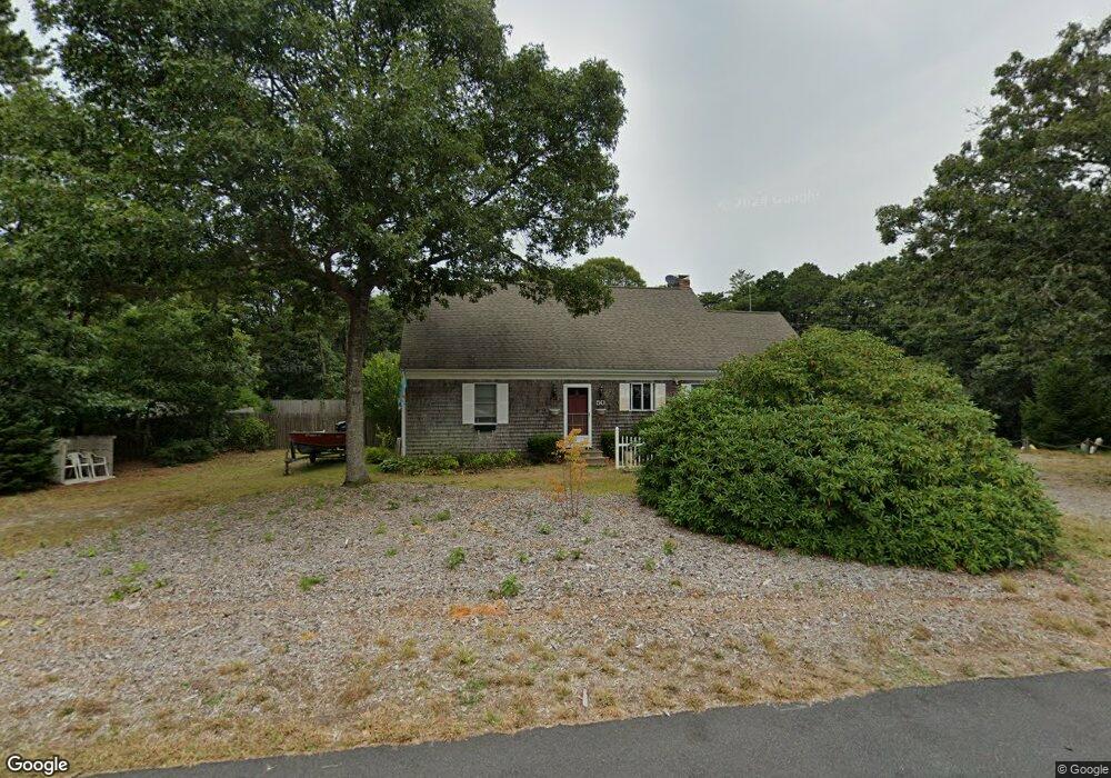
50 Whitney Rd Eastham, MA 02642
Estimated Value: $866,659 - $1,015,000
5
Beds
3
Baths
1,960
Sq Ft
$471/Sq Ft
Est. Value
About This Home
This home is located at 50 Whitney Rd, Eastham, MA 02642 and is currently estimated at $922,415, approximately $470 per square foot. 50 Whitney Rd is a home located in Barnstable County with nearby schools including Eastham Elementary School, Nauset Regional Middle School, and Nauset Regional High School.
Ownership History
Date
Name
Owned For
Owner Type
Purchase Details
Closed on
May 15, 1991
Sold by
Cape Cod Five Cents Sb
Bought by
Geary Arthur R and Geary Shanda G
Current Estimated Value
Home Financials for this Owner
Home Financials are based on the most recent Mortgage that was taken out on this home.
Original Mortgage
$106,400
Interest Rate
9.4%
Mortgage Type
Purchase Money Mortgage
Create a Home Valuation Report for This Property
The Home Valuation Report is an in-depth analysis detailing your home's value as well as a comparison with similar homes in the area
Home Values in the Area
Average Home Value in this Area
Purchase History
| Date | Buyer | Sale Price | Title Company |
|---|---|---|---|
| Geary Arthur R | $133,000 | -- |
Source: Public Records
Mortgage History
| Date | Status | Borrower | Loan Amount |
|---|---|---|---|
| Closed | Geary Arthur R | $90,000 | |
| Closed | Geary Arthur R | $106,400 |
Source: Public Records
Tax History Compared to Growth
Tax History
| Year | Tax Paid | Tax Assessment Tax Assessment Total Assessment is a certain percentage of the fair market value that is determined by local assessors to be the total taxable value of land and additions on the property. | Land | Improvement |
|---|---|---|---|---|
| 2025 | $5,952 | $772,000 | $266,700 | $505,300 |
| 2024 | $5,302 | $756,300 | $258,900 | $497,400 |
| 2023 | $4,885 | $674,700 | $239,700 | $435,000 |
| 2022 | $4,564 | $531,900 | $214,000 | $317,900 |
| 2021 | $4,448 | $484,500 | $194,500 | $290,000 |
| 2020 | $4,134 | $474,100 | $198,600 | $275,500 |
| 2019 | $3,800 | $460,600 | $192,800 | $267,800 |
| 2018 | $3,737 | $447,600 | $187,200 | $260,400 |
| 2017 | $3,477 | $440,100 | $183,500 | $256,600 |
| 2016 | $3,036 | $408,100 | $156,000 | $252,100 |
| 2015 | $2,827 | $398,100 | $152,900 | $245,200 |
Source: Public Records
Map
Nearby Homes
- 60 Briggs Field Rd
- 45 Starlight Ln
- 255 Massasoit Rd
- 10 Field Rd
- 4 Wood Duck Ln
- 10 Alston Ct
- 100 Orchard Dr
- 45 Cranberry Cir
- 35 Old County Rd Unit 1
- 10 Surrey Dr
- 72 Dory Ln
- 20 Redberry Ln
- 85 Huckleberry Ln
- 65 Cestaro Way
- 70 Deerfield Ln
- 645 Samoset Rd
- 100 Thoreau Dr
- 1295 Herring Brook Rd
- 30 Mayflower Rd
- 115 Sparrowhawk Ln
- 360 Captains Way
- 45 Whitney Rd
- 360 Captain's Way
- 40 Whitney Rd
- 370 Captains Way
- 60 Whitney Rd
- 350 Captains Way
- 35 Whitney Rd
- 55 Whitney Rd
- 340 Captains Way
- 10 Chipmunk Ln
- 30 Whitney Rd
- 20 Chipmunk Ln
- 75 Pilot Rd
- 70 Whitney Rd
- 40 Squirrel Run
- 25 Whitney Rd
- 30 Chipmunk Ln
- 355 Captains Way
- 35 Kingswood Dr