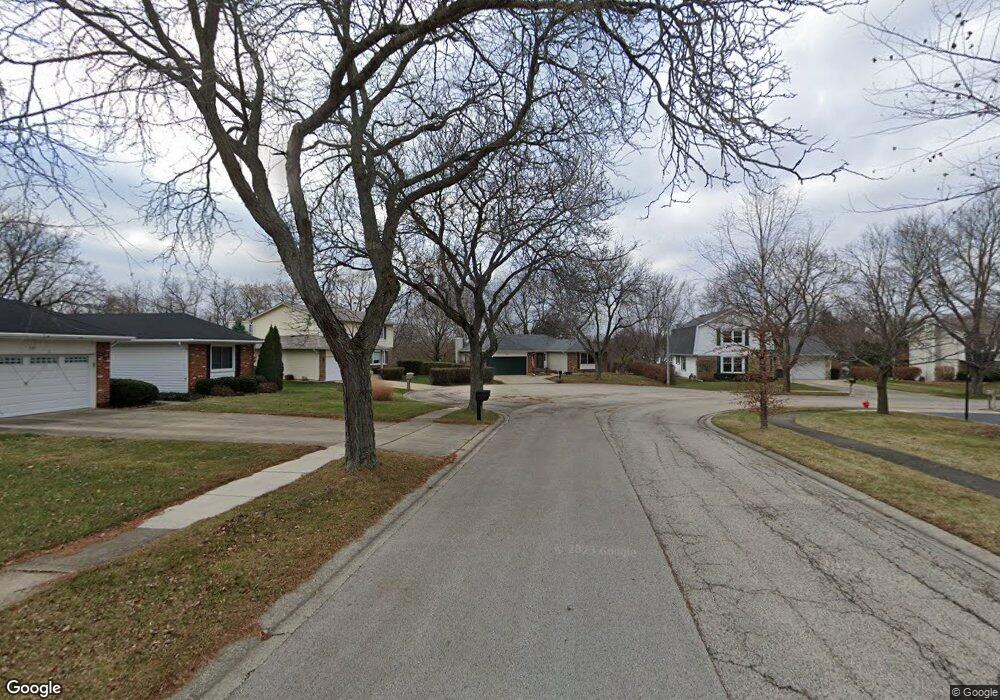
500 Forest Cir Algonquin, IL 60102
High Hill Farms NeighborhoodEstimated Value: $355,844 - $406,000
3
Beds
2
Baths
1,810
Sq Ft
$214/Sq Ft
Est. Value
About This Home
This home is located at 500 Forest Cir, Algonquin, IL 60102 and is currently estimated at $387,711, approximately $214 per square foot. 500 Forest Cir is a home located in McHenry County with nearby schools including Westfield Community School, Kenneth E Neubert Elementary School, and Harry D Jacobs High School.
Ownership History
Date
Name
Owned For
Owner Type
Purchase Details
Closed on
Jan 6, 2010
Sold by
Sirva Relocation Properties Llc
Bought by
Delp Nathan M and Delp Jennifer L
Current Estimated Value
Home Financials for this Owner
Home Financials are based on the most recent Mortgage that was taken out on this home.
Original Mortgage
$197,500
Interest Rate
5.11%
Mortgage Type
New Conventional
Purchase Details
Closed on
Dec 5, 2009
Sold by
Johnson Glenn W and Johnson Suzanne C
Bought by
Sirva Relocation Properties Llc
Home Financials for this Owner
Home Financials are based on the most recent Mortgage that was taken out on this home.
Original Mortgage
$197,500
Interest Rate
5.11%
Mortgage Type
New Conventional
Purchase Details
Closed on
Mar 21, 1997
Sold by
Rosmanitz Roy and Rosmanitz Jane M
Bought by
Johnson Glenn W and Johnson Suzanne C
Home Financials for this Owner
Home Financials are based on the most recent Mortgage that was taken out on this home.
Original Mortgage
$146,250
Interest Rate
7.82%
Create a Home Valuation Report for This Property
The Home Valuation Report is an in-depth analysis detailing your home's value as well as a comparison with similar homes in the area
Home Values in the Area
Average Home Value in this Area
Purchase History
| Date | Buyer | Sale Price | Title Company |
|---|---|---|---|
| Delp Nathan M | $228,500 | Stewart Title Company | |
| Sirva Relocation Properties Llc | $228,500 | Stewart Title Company | |
| Johnson Glenn W | $162,500 | Chicago Title Insurance Co |
Source: Public Records
Mortgage History
| Date | Status | Borrower | Loan Amount |
|---|---|---|---|
| Previous Owner | Delp Nathan M | $197,500 | |
| Previous Owner | Johnson Glenn W | $146,250 |
Source: Public Records
Tax History
| Year | Tax Paid | Tax Assessment Tax Assessment Total Assessment is a certain percentage of the fair market value that is determined by local assessors to be the total taxable value of land and additions on the property. | Land | Improvement |
|---|---|---|---|---|
| 2024 | $7,131 | $99,153 | $24,853 | $74,300 |
| 2023 | $6,754 | $88,680 | $22,228 | $66,452 |
| 2022 | $8,008 | $99,372 | $25,942 | $73,430 |
| 2021 | $7,682 | $92,577 | $24,168 | $68,409 |
| 2020 | $7,480 | $89,299 | $23,312 | $65,987 |
| 2019 | $7,297 | $85,470 | $22,312 | $63,158 |
| 2018 | $6,954 | $78,957 | $20,612 | $58,345 |
| 2017 | $6,810 | $74,383 | $19,418 | $54,965 |
| 2016 | $6,705 | $69,764 | $18,212 | $51,552 |
| 2013 | -- | $62,603 | $16,989 | $45,614 |
Source: Public Records
Map
Nearby Homes
- 730 Chestnut Ct
- 615 Harper Dr
- 21 Division St
- 13 Brian Ct
- 909 Roger St
- 407 La Fox River Dr
- 1 N Hubbard St
- SWC Talaga and Algonquin Rd
- 1431 Essex St
- 700 Fairfield Ln
- Lot #3-5 Hayes Rd
- 0 River Dr N Unit MRD12473279
- 966 Mesa Dr
- 1033 Interloch Ct Unit 32
- 935 Viewpoint Dr
- 298 Apache Trail
- 1820 Crofton Dr
- 720 Ash St
- LOT 3 Blackhawk Dr
- 939 Mesa Dr
- 740 Chestnut Ct
- 510 Forest Cir
- 751 Butterfield Dr
- 741 Butterfield Dr
- 520 Forest Cir
- 305 Harper Dr
- 315 Harper Dr
- 735 Chestnut Ct
- 731 Butterfield Dr
- 761 Butterfield Dr
- 720 Chestnut Ct
- 530 Forest Cir
- 725 Chestnut Ct Unit 1
- 721 Butterfield Dr
- 732 Orchard Ct
- 325 Harper Dr
- 801 Butterfield Dr
- 740 Butterfield Dr
- 710 Chestnut Ct
- 540 Forest Cir
Your Personal Tour Guide
Ask me questions while you tour the home.