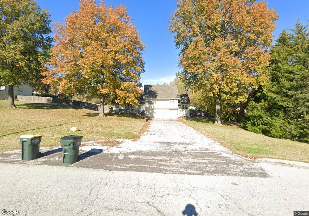
500 Maple Ln Lansing, KS 66043
Estimated Value: $338,240 - $373,000
4
Beds
3
Baths
2,185
Sq Ft
$163/Sq Ft
Est. Value
About This Home
This home is located at 500 Maple Ln, Lansing, KS 66043 and is currently estimated at $356,060, approximately $162 per square foot. 500 Maple Ln is a home located in Leavenworth County with nearby schools including Lansing Elementary School, Lansing Middle 6-8, and Lansing High 9-12.
Ownership History
Date
Name
Owned For
Owner Type
Purchase Details
Closed on
Oct 16, 2019
Sold by
Wallace Jr Robert W
Bought by
Hewitt Katie and Hewitt Kevin
Current Estimated Value
Home Financials for this Owner
Home Financials are based on the most recent Mortgage that was taken out on this home.
Original Mortgage
$213,750
Outstanding Balance
$187,256
Interest Rate
3.5%
Mortgage Type
New Conventional
Estimated Equity
$168,804
Purchase Details
Closed on
Aug 25, 2006
Sold by
Wolterman Michael J
Bought by
Wallace Robert W
Home Financials for this Owner
Home Financials are based on the most recent Mortgage that was taken out on this home.
Original Mortgage
$138,800
Interest Rate
6.75%
Mortgage Type
New Conventional
Create a Home Valuation Report for This Property
The Home Valuation Report is an in-depth analysis detailing your home's value as well as a comparison with similar homes in the area
Home Values in the Area
Average Home Value in this Area
Purchase History
| Date | Buyer | Sale Price | Title Company |
|---|---|---|---|
| Hewitt Katie | $284,287 | New Title Company Name | |
| Wallace Robert W | $230,755 | -- |
Source: Public Records
Mortgage History
| Date | Status | Borrower | Loan Amount |
|---|---|---|---|
| Open | Hewitt Katie | $213,750 | |
| Previous Owner | Wallace Robert W | $138,800 |
Source: Public Records
Tax History
| Year | Tax Paid | Tax Assessment Tax Assessment Total Assessment is a certain percentage of the fair market value that is determined by local assessors to be the total taxable value of land and additions on the property. | Land | Improvement |
|---|---|---|---|---|
| 2025 | $4,443 | $34,492 | $6,532 | $27,960 |
| 2024 | $4,131 | $33,165 | $7,590 | $25,575 |
| 2023 | $4,131 | $31,890 | $7,590 | $24,300 |
| 2022 | $3,972 | $28,990 | $5,285 | $23,705 |
| 2021 | $4,025 | $27,977 | $4,393 | $23,584 |
| 2020 | $3,824 | $26,166 | $4,232 | $21,934 |
| 2019 | $3,757 | $25,680 | $3,887 | $21,793 |
| 2018 | $3,555 | $24,323 | $4,336 | $19,987 |
| 2017 | $3,419 | $23,357 | $4,336 | $19,021 |
| 2016 | $3,345 | $22,843 | $4,336 | $18,507 |
| 2015 | $3,200 | $21,934 | $4,336 | $17,598 |
| 2014 | $3,042 | $21,295 | $4,336 | $16,959 |
Source: Public Records
Map
Nearby Homes
- 922 Southfork St
- 811 4-H Rd
- 503 S 1st St
- 26731 147th St
- 202 S Main St
- 124 S Main St
- 130 Hampton Ct
- 111 Southfork Rd
- 20958 Ida St
- 215 E Mary St
- 218 E Kay St
- 875 Clearview Dr
- 1221 S Desoto Rd
- 189 Canyon View Dr
- 1322 Rock Creek Ct
- 712 Rock Creek Dr
- 898 Clearview Dr
- 1313 Stone Ln
- 00000 Brookwood St
- 530 Holiday Ct
- 620 Bittersweet Rd
- 618 Bittersweet Rd
- 624 Bittersweet Rd
- 508 Maple Ln
- 00000 Maple Ln
- 614 Bittersweet Rd
- 615 Pine Ridge Ct
- 700 Bittersweet Rd
- 612 Bittersweet Rd
- 501 Maple Ln
- 609 Pine Ridge Ct
- 625 S Bittersweet Ln
- 608 Bittersweet Rd
- 621 Bittersweet Rd
- 613 S Bittersweet Ln
- 619 Bittersweet Rd
- 706 Bittersweet Rd
- 608 S Bittersweet Ln
- 625 Bittersweet Rd
- 613 Bittersweet Rd
Your Personal Tour Guide
Ask me questions while you tour the home.