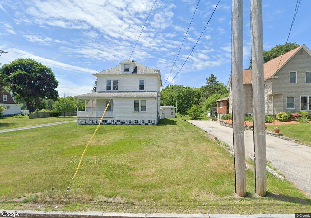
500 Massasoit Rd Worcester, MA 01604
Broadmeadow Brook NeighborhoodEstimated Value: $532,000 - $586,000
3
Beds
2
Baths
2,436
Sq Ft
$229/Sq Ft
Est. Value
About This Home
This home is located at 500 Massasoit Rd, Worcester, MA 01604 and is currently estimated at $558,721, approximately $229 per square foot. 500 Massasoit Rd is a home located in Worcester County with nearby schools including Jacob Hiatt Magnet School, Chandler Magnet, and Rice Square Elementary School.
Ownership History
Date
Name
Owned For
Owner Type
Purchase Details
Closed on
Jun 10, 2008
Sold by
Mathieu Doris L and Mathieu Ernest L
Bought by
500 Massasoit Road Nt and Mathieu Ernest L
Current Estimated Value
Create a Home Valuation Report for This Property
The Home Valuation Report is an in-depth analysis detailing your home's value as well as a comparison with similar homes in the area
Home Values in the Area
Average Home Value in this Area
Purchase History
| Date | Buyer | Sale Price | Title Company |
|---|---|---|---|
| 500 Massasoit Road Nt | -- | -- |
Source: Public Records
Tax History
| Year | Tax Paid | Tax Assessment Tax Assessment Total Assessment is a certain percentage of the fair market value that is determined by local assessors to be the total taxable value of land and additions on the property. | Land | Improvement |
|---|---|---|---|---|
| 2025 | $6,946 | $526,600 | $119,500 | $407,100 |
| 2024 | $6,663 | $484,600 | $119,500 | $365,100 |
| 2023 | $6,238 | $435,000 | $103,900 | $331,100 |
| 2022 | $6,028 | $396,300 | $83,100 | $313,200 |
| 2021 | $5,368 | $329,700 | $66,500 | $263,200 |
| 2020 | $5,041 | $296,500 | $66,400 | $230,100 |
| 2019 | $5,213 | $289,600 | $60,100 | $229,500 |
| 2018 | $5,108 | $270,100 | $60,100 | $210,000 |
| 2017 | $4,843 | $252,000 | $60,100 | $191,900 |
| 2016 | $4,812 | $233,500 | $45,600 | $187,900 |
| 2015 | $4,686 | $233,500 | $45,600 | $187,900 |
| 2014 | $4,563 | $233,500 | $45,600 | $187,900 |
Source: Public Records
Map
Nearby Homes
- 300 Millbury Ave
- 3 Julien Ave
- 9 Marissa Cir
- 12 Irene Ct
- 266 Massasoit Rd
- 1260 Grafton St
- 25 Upton St
- 16 Vincent Cir
- 330 Sunderland Rd Unit 80
- 330 Sunderland Rd Unit 69
- 2 Diane St
- 259 Massasoit Rd
- 7 Clarissa St
- 256 Massasoit Rd
- 6 Nathaniel St
- 38 Garnet St
- 340 Sunderland Rd Unit 28
- 25 Stoneham Rd
- 1195 Grafton St Unit 29
- 1195 Grafton St Unit 19
- 502 Massasoit Rd
- 496 Massasoit Rd
- 506 Massasoit Rd
- 492 Massasoit Rd
- 490 Massasoit Rd
- 489 Massasoit Rd
- 488 Massasoit Rd
- 505 Massasoit Rd
- 5 Sprague Ln
- 511 Massasoit Rd
- 512 Massasoit Rd
- 3 Sprague Ln
- 3 Sprague Ln Unit Bmt
- 3 Sprague Ln Unit 3
- 3 Sprague Ln Unit Lower
- 7 Sprague Ln
- 474 Massasoit Rd
- 483 Massasoit Rd
- 515 Massasoit Rd
- 518 Massasoit Rd
Your Personal Tour Guide
Ask me questions while you tour the home.