501 S Division St Chenoa, IL 61726
Estimated Value: $154,000 - $195,000
3
Beds
2
Baths
2,808
Sq Ft
$61/Sq Ft
Est. Value
About This Home
This home is located at 501 S Division St, Chenoa, IL 61726 and is currently estimated at $170,091, approximately $60 per square foot. 501 S Division St is a home located in McLean County with nearby schools including Prairie Central High School.
Ownership History
Date
Name
Owned For
Owner Type
Purchase Details
Closed on
Jan 13, 2012
Sold by
Penn Michael D and Penn Sharon K
Bought by
Edinger Scott
Current Estimated Value
Home Financials for this Owner
Home Financials are based on the most recent Mortgage that was taken out on this home.
Original Mortgage
$117,857
Outstanding Balance
$80,799
Interest Rate
3.98%
Estimated Equity
$89,292
Purchase Details
Closed on
Sep 26, 2006
Sold by
Strauch Michael D
Bought by
Penn Michael D and Embry Sharon
Home Financials for this Owner
Home Financials are based on the most recent Mortgage that was taken out on this home.
Original Mortgage
$85,000
Interest Rate
6.49%
Create a Home Valuation Report for This Property
The Home Valuation Report is an in-depth analysis detailing your home's value as well as a comparison with similar homes in the area
Home Values in the Area
Average Home Value in this Area
Purchase History
| Date | Buyer | Sale Price | Title Company |
|---|---|---|---|
| Edinger Scott | $115,500 | None Available | |
| Penn Michael D | $107,000 | None Available |
Source: Public Records
Mortgage History
| Date | Status | Borrower | Loan Amount |
|---|---|---|---|
| Open | Edinger Scott | $117,857 | |
| Previous Owner | Penn Michael D | $85,000 |
Source: Public Records
Tax History Compared to Growth
Tax History
| Year | Tax Paid | Tax Assessment Tax Assessment Total Assessment is a certain percentage of the fair market value that is determined by local assessors to be the total taxable value of land and additions on the property. | Land | Improvement |
|---|---|---|---|---|
| 2024 | $2,564 | $44,582 | $5,766 | $38,816 |
| 2022 | $2,564 | $32,591 | $4,961 | $27,630 |
| 2021 | $2,454 | $31,846 | $4,848 | $26,998 |
| 2020 | $2,309 | $29,611 | $4,508 | $25,103 |
| 2019 | $2,371 | $29,611 | $4,508 | $25,103 |
| 2018 | $2,512 | $29,321 | $4,464 | $24,857 |
| 2017 | $2,248 | $29,321 | $4,464 | $24,857 |
| 2016 | $2,130 | $29,321 | $4,464 | $24,857 |
| 2015 | $2,100 | $30,085 | $4,580 | $25,505 |
| 2014 | $2,090 | $30,085 | $4,580 | $25,505 |
| 2013 | -- | $30,413 | $4,630 | $25,783 |
Source: Public Records
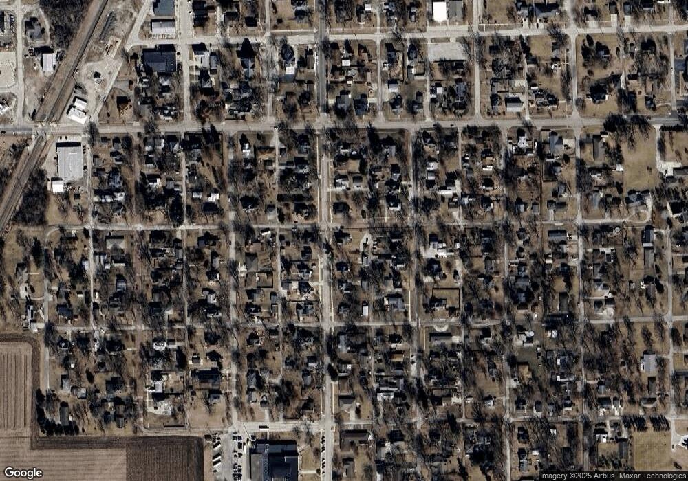
Map
Nearby Homes
- 515 S Division St
- 502 Mcclellan St
- 519 S Division St
- 510 Mcclellan St
- 500 S Division St
- 506 S Division St
- 424 Mcclellan St
- 516 Mcclellan St
- 417 S Division St
- 424 S Division St
- 418 Mcclellan St
- 520 S Division St
- 530 Mcclellan St
- 416 S Division St
- 411 S Division St
- 404 Mcclellan St
- 524 S Division St
- 505 Mcclellan St
- 410 S Division St
- 501 Maple St