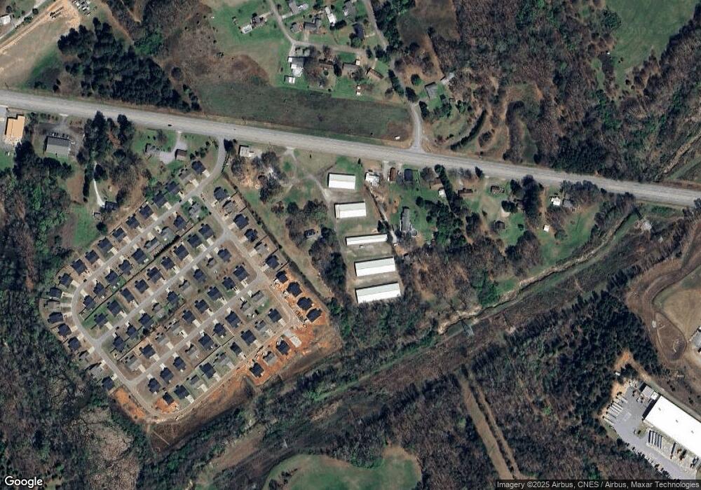
5011 Highway 24 Unit B Anderson, SC 29626
Estimated Value: $214,412
--
Bed
--
Bath
1,696
Sq Ft
$126/Sq Ft
Est. Value
About This Home
This home is located at 5011 Highway 24 Unit B, Anderson, SC 29626 and is currently estimated at $214,412, approximately $126 per square foot. 5011 Highway 24 Unit B is a home located in Anderson County with nearby schools including McLees Elementary School, Robert Anderson Middle School, and Westside High School.
Ownership History
Date
Name
Owned For
Owner Type
Purchase Details
Closed on
Jun 11, 2021
Sold by
P & P Assets Llc
Bought by
Mg Properties Greenville Llc
Current Estimated Value
Purchase Details
Closed on
Feb 4, 2019
Sold by
Valeriano Christopher M and Lopez Jennifer L
Bought by
P & P Assets Llc
Purchase Details
Closed on
Oct 26, 2018
Sold by
Valeriano Eileen J
Bought by
Valeriano Christopher M and Lopez Jennifer L
Purchase Details
Closed on
Feb 1, 2018
Sold by
Valeriano Elieena J
Bought by
Valeriano Christopher M and Lopez Jennifer L
Purchase Details
Closed on
Mar 29, 2002
Sold by
Brown Susan Elaine Dennis
Bought by
Valeriano Eileen
Create a Home Valuation Report for This Property
The Home Valuation Report is an in-depth analysis detailing your home's value as well as a comparison with similar homes in the area
Home Values in the Area
Average Home Value in this Area
Purchase History
| Date | Buyer | Sale Price | Title Company |
|---|---|---|---|
| Mg Properties Greenville Llc | $150,000 | None Available | |
| P & P Assets Llc | -- | None Available | |
| Valeriano Christopher M | -- | None Available | |
| Valeriano Christopher M | -- | None Available | |
| Valeriano Eileen | $70,000 | -- |
Source: Public Records
Tax History Compared to Growth
Tax History
| Year | Tax Paid | Tax Assessment Tax Assessment Total Assessment is a certain percentage of the fair market value that is determined by local assessors to be the total taxable value of land and additions on the property. | Land | Improvement |
|---|---|---|---|---|
| 2024 | $2,884 | $9,000 | $2,200 | $6,800 |
| 2023 | $2,884 | $11,160 | $3,600 | $7,560 |
| 2022 | $3,485 | $11,160 | $3,600 | $7,560 |
| 2021 | $4,245 | $13,050 | $2,100 | $10,950 |
| 2020 | $4,183 | $13,050 | $2,100 | $10,950 |
| 2019 | $4,183 | $13,050 | $2,100 | $10,950 |
| 2018 | $3,945 | $13,850 | $2,900 | $10,950 |
| 2017 | -- | $13,850 | $2,900 | $10,950 |
| 2016 | $3,439 | $13,070 | $2,640 | $10,430 |
| 2015 | $3,474 | $13,070 | $2,640 | $10,430 |
| 2014 | $3,423 | $13,070 | $2,640 | $10,430 |
Source: Public Records
Map
Nearby Homes
- 1037 Pearl Harbor Way
- 103 Lissa Ln
- 121 Bridgeview Dr
- 130 Windjammer Way
- 426 Carole Ave
- 111 Kenneth Dr
- 4450 Highway 24 Hwy
- 402 Edgewater Dr
- 617 Walnut Way
- 612 Walnut Way
- 208 Springview Dr
- 125 Hidden Lake Dr
- Lot 113 Hidden Lake Dr
- 1511 Cherokee Cir
- 303 Plantation Point
- 202 Highway 187 S
- 101 Richfield Dr
- 100 Grandview Dr
- 102 Saint Clair Rd
- 144 Old Asbury Rd
- 5013 Highway 24
- 5009 Highway 24
- 5009 S Carolina 24
- 5017 Highway 24
- 5017 S Carolina 24
- 1825 Pearl Harbor Way
- 1821 Pearl Harbor Way
- 1824 Pearl Harbor Way
- 1023 Pearl Harbor Way
- 1021 Pearl Harbor Way
- 1817 Pearl Harbor Way
- 120 Mohawk St
- 1026 Pearl Harbor Way
- 1025 Pearl Harbor Way
- 124 Mohawk St
- 1816 Pearl Harbor Way
- 1813 Pearl Harbor Way
- 118 Mohawk St
- 116 Mohawk St
- 139 Kosma Dr
