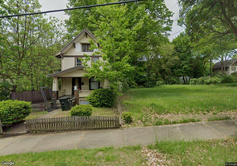
502 Bell St Akron, OH 44307
Sherbondy Hill NeighborhoodEstimated Value: $116,000
2
Beds
1
Bath
1,080
Sq Ft
$107/Sq Ft
Est. Value
About This Home
This home is located at 502 Bell St, Akron, OH 44307 and is currently estimated at $116,000, approximately $107 per square foot. 502 Bell St is a home located in Summit County with nearby schools including Towpath Trail High School, St. Vincent Elementary School, and St Vincent-St Mary High School.
Ownership History
Date
Name
Owned For
Owner Type
Purchase Details
Closed on
Jan 16, 2024
Sold by
Summit Cnty Land Reutilization
Bought by
City Of Akron
Current Estimated Value
Purchase Details
Closed on
Jan 12, 2024
Sold by
Summit Cnty Land Reutilization
Bought by
City Of Akron
Purchase Details
Closed on
Oct 30, 2018
Sold by
Stafford Veiola and Scalise Kristen M
Bought by
Summit County Land Reutilization Cor
Create a Home Valuation Report for This Property
The Home Valuation Report is an in-depth analysis detailing your home's value as well as a comparison with similar homes in the area
Home Values in the Area
Average Home Value in this Area
Purchase History
| Date | Buyer | Sale Price | Title Company |
|---|---|---|---|
| City Of Akron | -- | None Listed On Document | |
| City Of Akron | -- | None Listed On Document | |
| Summit County Land Reutilization Cor | -- | None Available |
Source: Public Records
Tax History
| Year | Tax Paid | Tax Assessment Tax Assessment Total Assessment is a certain percentage of the fair market value that is determined by local assessors to be the total taxable value of land and additions on the property. | Land | Improvement |
|---|---|---|---|---|
| 2025 | -- | $4,935 | $4,935 | -- |
| 2024 | $95 | $4,935 | $4,935 | -- |
| 2023 | $95 | $4,935 | $4,935 | $0 |
| 2022 | $95 | $2,905 | $2,905 | $0 |
| 2021 | $95 | $2,905 | $2,905 | $0 |
| 2020 | $587 | $2,910 | $2,910 | $0 |
| 2019 | $95 | $4,400 | $4,400 | $0 |
| 2018 | $1,804 | $8,160 | $4,400 | $3,760 |
| 2017 | $694 | $8,160 | $4,400 | $3,760 |
| 2016 | $923 | $8,240 | $4,400 | $3,840 |
| 2015 | $694 | $8,240 | $4,400 | $3,840 |
| 2014 | $920 | $8,240 | $4,400 | $3,840 |
| 2013 | $1,115 | $8,590 | $4,400 | $4,190 |
Source: Public Records
Map
Nearby Homes
- 480 Bell St
- 483 Douglas St
- 492 Douglas St
- 577 Rhodes Ave
- 295 Grove St
- 212 Gale St
- 644 Diagonal Rd
- 524 Auld Farm Cir
- 60 Locust St
- 105 Westwood Ave
- 434 Hillwood Dr
- 817 Raymond St
- 555 Hoye Ave
- 445 Beechwood Dr
- 699 W Exchange St
- 710 Copley Rd Unit 712
- 628 Bellevue Ave
- 605 East Ave
- 414 Beechwood Dr
- 867 Orrin St
Your Personal Tour Guide
Ask me questions while you tour the home.