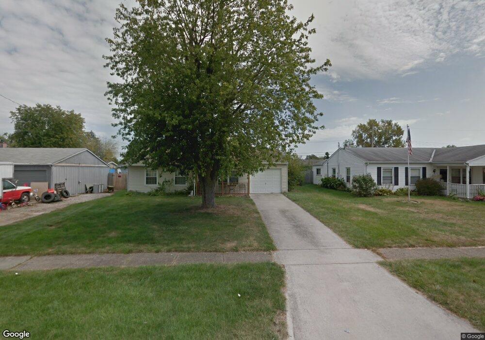
5022 Sutherland Dr Columbus, OH 43207
Obetz-Lockbourne NeighborhoodEstimated Value: $203,986 - $232,000
3
Beds
1
Bath
1,041
Sq Ft
$209/Sq Ft
Est. Value
About This Home
This home is located at 5022 Sutherland Dr, Columbus, OH 43207 and is currently estimated at $217,747, approximately $209 per square foot. 5022 Sutherland Dr is a home located in Franklin County with nearby schools including Hamilton Elementary School, Hamilton Intermediate School, and Hamilton Middle School.
Ownership History
Date
Name
Owned For
Owner Type
Purchase Details
Closed on
Jan 31, 2020
Sold by
Butcher Audrey M and Butcher Audrey Mae
Bought by
Butcher Jordan G
Current Estimated Value
Home Financials for this Owner
Home Financials are based on the most recent Mortgage that was taken out on this home.
Original Mortgage
$126,003
Outstanding Balance
$111,778
Interest Rate
3.7%
Mortgage Type
New Conventional
Estimated Equity
$105,969
Purchase Details
Closed on
Aug 23, 1985
Bought by
Butcher Audrey M
Create a Home Valuation Report for This Property
The Home Valuation Report is an in-depth analysis detailing your home's value as well as a comparison with similar homes in the area
Home Values in the Area
Average Home Value in this Area
Purchase History
| Date | Buyer | Sale Price | Title Company |
|---|---|---|---|
| Butcher Jordan G | $129,900 | None Available | |
| Butcher Audrey M | -- | -- |
Source: Public Records
Mortgage History
| Date | Status | Borrower | Loan Amount |
|---|---|---|---|
| Open | Butcher Jordan G | $126,003 |
Source: Public Records
Tax History Compared to Growth
Tax History
| Year | Tax Paid | Tax Assessment Tax Assessment Total Assessment is a certain percentage of the fair market value that is determined by local assessors to be the total taxable value of land and additions on the property. | Land | Improvement |
|---|---|---|---|---|
| 2024 | $2,551 | $55,830 | $17,500 | $38,330 |
| 2023 | $2,538 | $55,825 | $17,500 | $38,325 |
| 2022 | $1,454 | $26,810 | $6,160 | $20,650 |
| 2021 | $1,474 | $26,810 | $6,160 | $20,650 |
| 2020 | $1,193 | $26,810 | $6,160 | $20,650 |
| 2019 | $858 | $22,330 | $5,110 | $17,220 |
| 2018 | $923 | $22,330 | $5,110 | $17,220 |
| 2017 | $711 | $22,330 | $5,110 | $17,220 |
| 2016 | $1,053 | $25,030 | $5,950 | $19,080 |
| 2015 | $999 | $25,030 | $5,950 | $19,080 |
| 2014 | $994 | $25,030 | $5,950 | $19,080 |
| 2013 | $561 | $27,825 | $6,615 | $21,210 |
Source: Public Records
Map
Nearby Homes
- 5081 Lockbourne Rd
- 1292 Webb Dr Unit Lot 83
- 1291 Webb Dr Unit Lot 90
- 1059 Belford Ave
- 1099 Secrest Ave
- 1091 Secrest Ave
- 1031 Secrest Ave
- 5083 Meadowbrook Dr
- 4917 Fishburn Ct
- 920 Cherrydale Ave
- 5140 Meadowbrook Dr
- 5340 Edgeview Rd
- 4434 Butler Farms Dr
- 4241 Gelbray Ct
- 4175 Holstein Dr
- 4410 Holstein Dr
- 1962 Reese Ave
- 1987 Reese Ave
- 353 Kear St
- 785 Scarlett Ln
- 5014 Sutherland Dr
- 5032 Sutherland Dr
- 5021 Lockbourne Rd
- 5006 Sutherland Dr
- 5040 Sutherland Dr
- 5031 Lockbourne Rd
- 5013 Lockbourne Rd
- 5005 Lockbourne Rd
- 1112 Langtry Ave
- 1119 Langtry Ave
- 4996 Sutherland Dr
- 5048 Sutherland Dr
- 5047 Lockbourne Rd
- 5005 Sutherland Dr
- 4995 Lockbourne Rd
- 5043 Sutherland Dr
- 5058 Sutherland Dr
- 5058 Sutherland Dr
- 4988 Sutherland Dr
- 1104 Langtry Ave