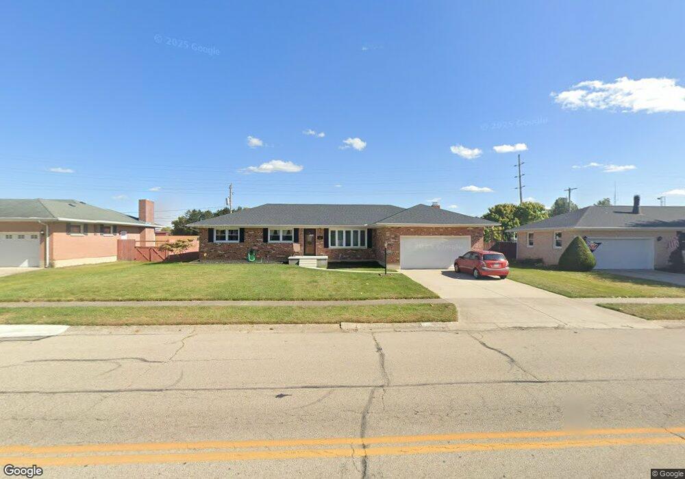
5024 Ridgewood Rd E Springfield, OH 45503
Estimated Value: $250,212 - $284,000
3
Beds
2
Baths
1,605
Sq Ft
$166/Sq Ft
Est. Value
About This Home
This home is located at 5024 Ridgewood Rd E, Springfield, OH 45503 and is currently estimated at $266,803, approximately $166 per square foot. 5024 Ridgewood Rd E is a home located in Clark County with nearby schools including Northridge Elementary School, Kenton Ridge Middle & High School, and Emmanuel Christian Academy.
Ownership History
Date
Name
Owned For
Owner Type
Purchase Details
Closed on
Nov 17, 1998
Sold by
Mckee Carla J and Mckee Richard L
Bought by
Benston Dennis A and Benston Sherry A
Current Estimated Value
Home Financials for this Owner
Home Financials are based on the most recent Mortgage that was taken out on this home.
Original Mortgage
$66,900
Outstanding Balance
$13,557
Interest Rate
6.59%
Mortgage Type
Purchase Money Mortgage
Estimated Equity
$253,246
Purchase Details
Closed on
Sep 20, 1993
Create a Home Valuation Report for This Property
The Home Valuation Report is an in-depth analysis detailing your home's value as well as a comparison with similar homes in the area
Home Values in the Area
Average Home Value in this Area
Purchase History
| Date | Buyer | Sale Price | Title Company |
|---|---|---|---|
| Benston Dennis A | $119,900 | -- | |
| -- | -- | -- |
Source: Public Records
Mortgage History
| Date | Status | Borrower | Loan Amount |
|---|---|---|---|
| Open | Benston Dennis A | $66,900 |
Source: Public Records
Tax History
| Year | Tax Paid | Tax Assessment Tax Assessment Total Assessment is a certain percentage of the fair market value that is determined by local assessors to be the total taxable value of land and additions on the property. | Land | Improvement |
|---|---|---|---|---|
| 2025 | $2,549 | $79,010 | $13,250 | $65,760 |
| 2024 | -- | $58,290 | $11,560 | $46,730 |
| 2023 | $2,465 | $58,290 | $11,560 | $46,730 |
| 2022 | $1,025 | $58,290 | $11,560 | $46,730 |
| 2021 | $2,624 | $52,380 | $9,100 | $43,280 |
| 2020 | $2,626 | $52,380 | $9,100 | $43,280 |
| 2019 | $2,676 | $52,380 | $9,100 | $43,280 |
| 2018 | $2,453 | $46,090 | $10,110 | $35,980 |
| 2017 | $2,102 | $46,060 | $10,108 | $35,952 |
| 2016 | $2,087 | $46,060 | $10,108 | $35,952 |
| 2015 | $2,051 | $46,060 | $10,108 | $35,952 |
| 2014 | $2,050 | $46,060 | $10,108 | $35,952 |
| 2013 | $2,003 | $46,060 | $10,108 | $35,952 |
Source: Public Records
Map
Nearby Homes
- 5033 Ridgewood Rd E
- 1521 Erika Dr
- 5235 W Ridgewood Rd
- 4732 Lehigh Dr
- 5564 Ridgewood Rd E Unit 7
- 4802 Willowbrook Dr
- 1495 Victorian Way
- 4652 Reno Ln Unit 15
- 5564 Ridgewood Rd W
- 4890 Brannan Dr W Unit 4890
- 4577 Reno Ln Unit 2
- 4741 Cullen Ave
- 4446 Ridgewood Rd E Unit 3
- 4733 Curtis Dr
- 1977 Willoughby Ave
- 1398 Elizabeth Ct Unit 66
- 5300 Brookshire Ln
- 1341 Student Ave
- 4322 Midfield St Unit 15
- 4256 Midfield St Unit 9
- 5018 Ridgewood Rd E
- 5030 Ridgewood Rd E
- 5104 Ridgewood Rd E
- 5012 Ridgewood Rd E
- 5025 Ridgewood Rd E
- 5021 Ridgewood Rd E
- 5016 Stoneridge Dr
- 5107 Ridgewood Rd E
- 5042 Stoneridge Dr
- 5032 Stoneridge Dr
- 5046 Stoneridge Dr
- 5018 Stoneridge Dr
- 5113 Ridgewood Rd E
- 5118 Ridgewood Rd E
- 5114 Stoneridge Dr
- 5119 Ridgewood Rd E
- 5122 Stoneridge Dr
- 5124 Ridgewood Rd E
- 5128 Stoneridge Dr
- 5037 Stoneridge Dr
Your Personal Tour Guide
Ask me questions while you tour the home.