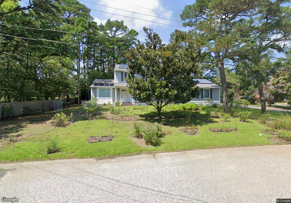
503 Burning Tree Blvd Absecon, NJ 08201
Estimated Value: $487,000 - $510,000
--
Bed
--
Bath
2,232
Sq Ft
$223/Sq Ft
Est. Value
About This Home
This home is located at 503 Burning Tree Blvd, Absecon, NJ 08201 and is currently estimated at $497,593, approximately $222 per square foot. 503 Burning Tree Blvd is a home located in Atlantic County with nearby schools including Emma C. Attales Middle School, Life Point Academy/ Life Point Church, and Holy Spirit High School.
Ownership History
Date
Name
Owned For
Owner Type
Purchase Details
Closed on
Feb 24, 2023
Sold by
Ogiba Adriana Marie
Bought by
Shawn Albert Ogiba And Adriana Marie Ogiba Li
Current Estimated Value
Purchase Details
Closed on
Apr 13, 2021
Sold by
Thomas Mildred Hart and Estate Of Mildred Hart Thomas
Bought by
Ogiba Adriana Marie
Create a Home Valuation Report for This Property
The Home Valuation Report is an in-depth analysis detailing your home's value as well as a comparison with similar homes in the area
Home Values in the Area
Average Home Value in this Area
Purchase History
| Date | Buyer | Sale Price | Title Company |
|---|---|---|---|
| Shawn Albert Ogiba And Adriana Marie Ogiba Li | -- | None Listed On Document | |
| Ogiba Adriana Marie | $309,000 | Core Title |
Source: Public Records
Tax History Compared to Growth
Tax History
| Year | Tax Paid | Tax Assessment Tax Assessment Total Assessment is a certain percentage of the fair market value that is determined by local assessors to be the total taxable value of land and additions on the property. | Land | Improvement |
|---|---|---|---|---|
| 2025 | $8,412 | $251,400 | $102,500 | $148,900 |
| 2024 | $8,412 | $251,400 | $102,500 | $148,900 |
| 2023 | $8,311 | $251,400 | $102,500 | $148,900 |
| 2022 | $8,311 | $251,400 | $102,500 | $148,900 |
| 2021 | $8,286 | $251,400 | $102,500 | $148,900 |
| 2020 | $8,301 | $251,400 | $102,500 | $148,900 |
| 2019 | $8,241 | $251,400 | $102,500 | $148,900 |
| 2018 | $8,276 | $251,400 | $102,500 | $148,900 |
| 2017 | $8,216 | $251,400 | $102,500 | $148,900 |
| 2016 | $7,984 | $251,400 | $102,500 | $148,900 |
| 2015 | $7,881 | $251,400 | $102,500 | $148,900 |
| 2014 | $7,773 | $251,400 | $102,500 | $148,900 |
Source: Public Records
Map
Nearby Homes
- 202 Burning Tree Blvd
- 111 Woods Rd
- 194 N Shore Rd
- 40 N Shore Rd
- 506 Lazy Ln
- 00 California Ave
- 19 W Illinois Ave
- 120 Pitney Rd
- 107 W Church St
- 117 E Wyoming Ave
- 1 Mechanic St Unit 108
- 15 W Bolton Ave
- 625 N Shore Rd
- 505 Sooy Ln
- 399 Pitney Rd
- 243 Pennsylvania Ave
- 244 E Wyoming Ave
- 4 E Curran Dr
- 1508 7th Ave
- 210 Coolidge Ave
- 407 Burning Tree Blvd
- 403 Burning Tree Blvd
- 404 Burning Tree Blvd
- 406 Cynwyd Dr
- 404 Cynwyd Dr
- 401 Burning Tree Blvd
- 402 Burning Tree Blvd
- 111 Cedar Hill Dr
- 408 Burning Tree Blvd
- 408 Cynwyd Dr
- 402 Cynwyd Dr
- 719 Birch Cir
- 400 Burning Tree Blvd
- 410 Burning Tree Blvd
- 405 Cynwyd Dr
- 403 Cynwyd Dr
- 399 Burning Tree Blvd
- 407 Cynwyd Dr
- 401 Cynwyd Dr
- 501 Burning Tree Blvd