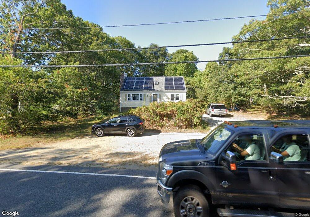
504 Cotuit Rd Mashpee, MA 02649
Estimated Value: $540,613 - $591,000
4
Beds
2
Baths
1,501
Sq Ft
$376/Sq Ft
Est. Value
About This Home
This home is located at 504 Cotuit Rd, Mashpee, MA 02649 and is currently estimated at $564,653, approximately $376 per square foot. 504 Cotuit Rd is a home located in Barnstable County with nearby schools including Kenneth C. Coombs School, Quashnet School, and Mashpee Middle School.
Ownership History
Date
Name
Owned For
Owner Type
Purchase Details
Closed on
Mar 10, 2022
Sold by
Blakeman Robin R
Bought by
Robin R Blakeman Ft
Current Estimated Value
Purchase Details
Closed on
Jul 2, 2001
Sold by
Collins Raphael D
Bought by
Blakeman Robin R
Create a Home Valuation Report for This Property
The Home Valuation Report is an in-depth analysis detailing your home's value as well as a comparison with similar homes in the area
Purchase History
| Date | Buyer | Sale Price | Title Company |
|---|---|---|---|
| Robin R Blakeman Ft | -- | None Available | |
| Blakeman Robin R | $159,000 | -- |
Source: Public Records
Mortgage History
| Date | Status | Borrower | Loan Amount |
|---|---|---|---|
| Previous Owner | Blakeman Robin R | $161,250 | |
| Previous Owner | Blakeman Robin R | $32,250 | |
| Previous Owner | Blakeman Robin R | $160,000 |
Source: Public Records
Tax History
| Year | Tax Paid | Tax Assessment Tax Assessment Total Assessment is a certain percentage of the fair market value that is determined by local assessors to be the total taxable value of land and additions on the property. | Land | Improvement |
|---|---|---|---|---|
| 2025 | $2,835 | $428,200 | $171,500 | $256,700 |
| 2024 | $2,599 | $404,200 | $156,000 | $248,200 |
| 2023 | $2,471 | $352,500 | $148,500 | $204,000 |
| 2022 | $2,459 | $301,000 | $134,200 | $166,800 |
| 2021 | $2,403 | $264,900 | $120,800 | $144,100 |
| 2020 | $2,335 | $256,900 | $116,200 | $140,700 |
| 2019 | $2,233 | $246,700 | $116,200 | $130,500 |
| 2018 | $2,124 | $238,100 | $116,200 | $121,900 |
| 2017 | $2,085 | $226,900 | $116,200 | $110,700 |
| 2016 | $2,024 | $219,100 | $116,200 | $102,900 |
| 2015 | $1,946 | $213,600 | $116,200 | $97,400 |
| 2014 | $1,979 | $210,800 | $114,800 | $96,000 |
Source: Public Records
Map
Nearby Homes
- 544 Cotuit Rd
- 45 Fox Hill Rd
- 10 Candlewood Ln
- 63 Deer Ridge Rd
- 24 Widow Coombs Walk
- 20 Lakewood Dr
- 45 Pequot Rd
- 290 Main St
- 235 Main St
- 36 Moon Compass Ln
- 19 Oriole Ln
- 173 Main St
- 111 Reflection Dr
- 48 Holly Ridge Dr
- 52 Old Colony Dr
- 170 Forest Hills Rd
- 35 Claulise Ln
- 78 Brittany Dr
- 9 Viking Ln
- 22 Stratford Ridge Unit 22
- 500 Cotuit Rd
- 6 Leamington Ln
- 138 Scituate Rd
- 14 Leamington Ln
- 1 Leamington Ln
- 492 Cotuit Rd
- 1 Cambridge Dr
- 132 Scituate Rd
- 135 Scituate Rd
- 20 Leamington Ln
- 518 Cotuit Rd
- 5 Cambridge Dr
- 131 Scituate Rd
- 2 Cambridge Dr
- 521 Cotuit Rd
- 486 Cotuit Rd
- 128 Scituate Rd
- 26 Leamington Ln
- 8 Cambridge Dr
- 524 Cotuit Rd
Your Personal Tour Guide
Ask me questions while you tour the home.