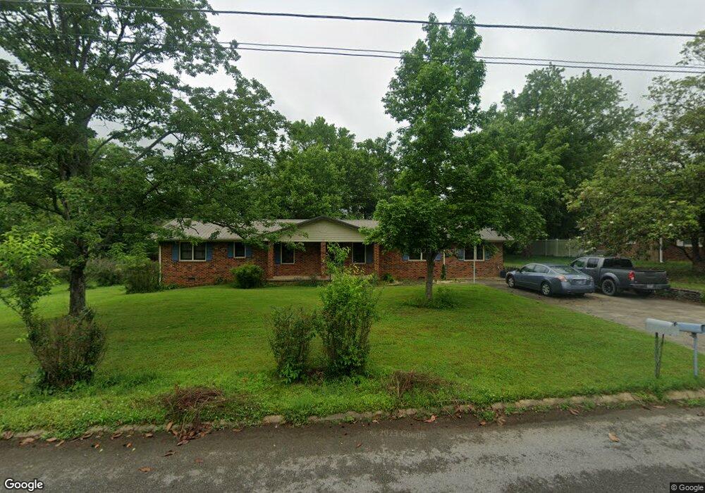
504 Foxhall Dr Shelbyville, TN 37160
Estimated Value: $254,145 - $366,000
--
Bed
2
Baths
1,830
Sq Ft
$176/Sq Ft
Est. Value
About This Home
This home is located at 504 Foxhall Dr, Shelbyville, TN 37160 and is currently estimated at $322,536, approximately $176 per square foot. 504 Foxhall Dr is a home located in Bedford County with nearby schools including Eakin Elementary School, Harris Middle School, and Christian Chapel Academy.
Ownership History
Date
Name
Owned For
Owner Type
Purchase Details
Closed on
Mar 9, 2022
Sold by
Hitt Jr Stephen G
Bought by
Mallard Justin and Mallard Samantha
Current Estimated Value
Purchase Details
Closed on
Sep 17, 2021
Sold by
Mallard Martha Joellen and Hitt William J
Bought by
Hitt Stephen G
Purchase Details
Closed on
Dec 18, 2018
Sold by
Hitt Stephen G
Bought by
Hitt Stephen G and Mallard Martha Joellen
Purchase Details
Closed on
Apr 19, 1977
Bought by
Hitt Martha N
Create a Home Valuation Report for This Property
The Home Valuation Report is an in-depth analysis detailing your home's value as well as a comparison with similar homes in the area
Home Values in the Area
Average Home Value in this Area
Purchase History
| Date | Buyer | Sale Price | Title Company |
|---|---|---|---|
| Mallard Justin | -- | None Listed On Document | |
| Hitt Stephen G | -- | None Available | |
| Hitt Stephen G | -- | None Available | |
| Hitt Martha N | -- | -- |
Source: Public Records
Tax History Compared to Growth
Tax History
| Year | Tax Paid | Tax Assessment Tax Assessment Total Assessment is a certain percentage of the fair market value that is determined by local assessors to be the total taxable value of land and additions on the property. | Land | Improvement |
|---|---|---|---|---|
| 2025 | -- | $42,950 | $0 | $0 |
| 2024 | -- | $42,950 | $6,200 | $36,750 |
| 2023 | $636 | $42,950 | $6,200 | $36,750 |
| 2022 | $1,682 | $42,950 | $6,200 | $36,750 |
| 2021 | $1,527 | $42,950 | $6,200 | $36,750 |
| 2020 | $1,374 | $42,950 | $6,200 | $36,750 |
| 2019 | $1,374 | $31,000 | $3,750 | $27,250 |
| 2018 | $1,343 | $31,000 | $3,750 | $27,250 |
| 2017 | $1,343 | $31,000 | $3,750 | $27,250 |
| 2016 | $1,330 | $31,000 | $3,750 | $27,250 |
| 2015 | $1,330 | $31,000 | $3,750 | $27,250 |
| 2014 | $1,197 | $30,542 | $0 | $0 |
Source: Public Records
Map
Nearby Homes
- 1615 Elevation ABC Plan at Wheatfield
- 1567 Elevation ABC Plan at Wheatfield
- 225 Republic St
- 227 Republic St
- 119 Millet St
- 232 Republic St
- 226 Republic St
- 228 Republic St
- 1030 Union St
- 118 Millet St
- 122 Laurelwood Dr
- 229 Millet St
- 407 Dow Dr
- 603 Tines Dr
- 101 Briar Patch Dr
- 223 Megan Cir
- 309 Honeysuckle Ln
- 211 Hillview Ave
- 410 Dover St
- 203 Hillview Ave
- 506 Foxhall Dr
- 502 Foxhall Dr
- 505 Foxhall Dr
- 508 Foxhall Dr
- 503 Foxhall Dr
- 507 Foxhall Dr
- 203 Oakwood Dr
- 201 Oakwood Dr
- 103 Oakwood Dr
- 510 Foxhall Dr
- 102 Hillwood St
- 502 Cloverdale Rd
- 504 Cloverdale Rd
- 506 Cloverdale Rd
- 500 Cloverdale Rd
- 600 Foxhall Dr
- 202 Oakwood Dr
- 601 Foxhall Dr
- 200 Oakwood Dr
- 103 Hillwood St