Estimated Value: $265,000 - $465,000
5
Beds
3
Baths
3,800
Sq Ft
$104/Sq Ft
Est. Value
About This Home
This home is located at 505 Andrews Ave, Dixon, MO 65459 and is currently estimated at $394,638, approximately $103 per square foot. 505 Andrews Ave is a home located in Pulaski County with nearby schools including Dixon Elementary School, Dixon Middle School, and Dixon High School.
Ownership History
Date
Name
Owned For
Owner Type
Purchase Details
Closed on
Apr 11, 2014
Sold by
Don Don and Fugate Diane
Bought by
Johnston William A and Johnston Leslie M
Current Estimated Value
Create a Home Valuation Report for This Property
The Home Valuation Report is an in-depth analysis detailing your home's value as well as a comparison with similar homes in the area
Home Values in the Area
Average Home Value in this Area
Purchase History
| Date | Buyer | Sale Price | Title Company |
|---|---|---|---|
| Johnston William A | -- | -- |
Source: Public Records
Tax History Compared to Growth
Tax History
| Year | Tax Paid | Tax Assessment Tax Assessment Total Assessment is a certain percentage of the fair market value that is determined by local assessors to be the total taxable value of land and additions on the property. | Land | Improvement |
|---|---|---|---|---|
| 2024 | $2,772 | $54,572 | $4,617 | $49,955 |
| 2023 | $2,767 | $54,572 | $4,617 | $49,955 |
| 2022 | $2,813 | $54,572 | $4,617 | $49,955 |
| 2021 | $2,887 | $54,572 | $4,617 | $49,955 |
| 2020 | $2,732 | $50,880 | $0 | $0 |
| 2019 | $2,734 | $52,193 | $0 | $0 |
| 2018 | $2,755 | $52,193 | $0 | $0 |
| 2017 | $2,755 | $48,855 | $0 | $0 |
| 2016 | $2,755 | $52,190 | $0 | $0 |
| 2015 | $2,806 | $52,190 | $0 | $0 |
| 2014 | $2,743 | $52,190 | $0 | $0 |
Source: Public Records
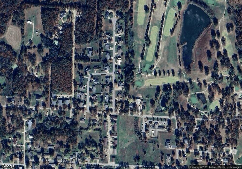
Map
Nearby Homes
- 207 Sunset Rd
- 100 E 6th St
- 200 W 6th St
- 13306 Canuck Ln
- 103 S Ellen St
- 204 W 4th St
- 501 W 5th St
- 104 W 3rd St
- 602 W 6th St
- 105 S Oak St
- 615 W 4th St
- 0 Copperstone Unit MAR25022868
- 15005 Carthage Rd
- 0 Highway 28 Unit MAR24074301
- 12280 Chicago Rd
- 0 Tbd Unit MIS25056295
- 13416 Colorado Rd
- 13420 Highway 28
- 16560 Highway 133
- 11880 Cypress Rd
- 503 Andrews Ave
- 509 Andrews Ave
- 506 Andrews Ave
- 504 Andrews Ave
- 502 Andrews Ave
- 512 McClaren Way
- 501 Andrews Ave
- 511 Andrews Ave
- 300 E 10th St
- 315 Andrews Ave
- 507 McClaren Way
- 500 Andrews Ave
- 105 Davis St
- 505 McClaren Way
- 503 McClaren Way
- 310 E 10th St
- 510 Andrews Ave
- 513 Andrews Ave
- 501 McClaren Way