Studio
--
Bath
--
Sq Ft
68,825
Sq Ft
About This Home
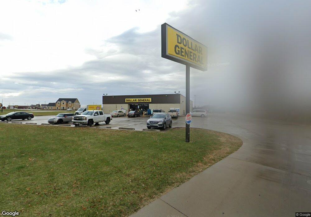
This home is located at 505 N Route 49, Casey, IL 62420. 505 N Route 49 is a home located in Clark County with nearby schools including Monroe Elementary School and Casey-Westfield Jr-Sr High School.
Ownership History
Date
Name
Owned For
Owner Type
Purchase Details
Closed on
Oct 17, 2022
Sold by
Toy Properties Llc
Bought by
Millco Casey Llc
Purchase Details
Closed on
Oct 13, 2022
Sold by
Toy Properties Llc
Bought by
Millco Casey Llc
Purchase Details
Closed on
Sep 17, 2021
Sold by
First Mid Illinois Bank & Trust Inc
Bought by
Toy Properties Llc
Home Financials for this Owner
Home Financials are based on the most recent Mortgage that was taken out on this home.
Original Mortgage
$200,000
Interest Rate
2.7%
Mortgage Type
New Conventional
Purchase Details
Closed on
Sep 8, 2005
Sold by
Ahrens Ted W and Ahrens Roberta M
Bought by
First Mid Illinois Bank & Trust Inc
Home Financials for this Owner
Home Financials are based on the most recent Mortgage that was taken out on this home.
Original Mortgage
$600,000
Interest Rate
5.99%
Mortgage Type
Commercial
Create a Home Valuation Report for This Property
The Home Valuation Report is an in-depth analysis detailing your home's value as well as a comparison with similar homes in the area
Purchase History
| Date | Buyer | Sale Price | Title Company |
|---|---|---|---|
| Millco Casey Llc | $49,333 | -- | |
| Millco Casey Llc | $750,000 | -- | |
| Toy Properties Llc | $250,000 | None Listed On Document | |
| First Mid Illinois Bank & Trust Inc | $751,000 | None Available |
Source: Public Records
Mortgage History
| Date | Status | Borrower | Loan Amount |
|---|---|---|---|
| Previous Owner | Toy Properties Llc | $200,000 | |
| Previous Owner | First Mid Illinois Bank & Trust Inc | $600,000 |
Source: Public Records
Tax History
| Year | Tax Paid | Tax Assessment Tax Assessment Total Assessment is a certain percentage of the fair market value that is determined by local assessors to be the total taxable value of land and additions on the property. | Land | Improvement |
|---|---|---|---|---|
| 2024 | $7,448 | $94,643 | $24,901 | $69,742 |
| 2023 | $7,097 | $94,643 | $24,901 | $69,742 |
| 2022 | $7,130 | $84,503 | $22,233 | $62,270 |
| 2021 | $6,820 | $84,503 | $22,233 | $62,270 |
| 2019 | $22,767 | $250,831 | $54,926 | $195,905 |
| 2018 | $23,072 | $250,831 | $54,926 | $195,905 |
| 2017 | $23,415 | $256,525 | $56,173 | $200,352 |
| 2016 | $19,402 | $200,665 | $32,885 | $167,780 |
| 2015 | $19,139 | $202,213 | $33,786 | $168,427 |
| 2014 | $18,341 | $196,820 | $32,885 | $163,935 |
| 2013 | $18,341 | $190,165 | $31,775 | $158,390 |
Source: Public Records
Map
Nearby Homes
- 0 Illinois 49
- 509 NE 2nd St
- 0 Highway 40 W
- 10 W Alabama Ave
- 908 N Route 49
- 112 NW 4th St
- 9 NW 4th St
- 305 SW 2nd St
- 922 Illinois 49
- 205 W Madison Ave
- 706 E Madison St
- 706 E Madison Ave
- 606 E Monroe Ave
- 804 SW 3rd St
- 2717 E Washington Rd
- 20 Ashley Ln
- 15508 County Road 400 E
- 5757 N 300th St
- 114 N Washington St
- 408 N Toledo St
- 505 N Central Ave
- 2 W Florida Ave
- 503 N Central Ave
- 605 N Central Ave
- 501 N Central Ave
- 506 N Route 49
- 5 W Florida Ave
- 6 W Edgar Ave
- 409 NE 1st St
- 6 W Florida Ave
- 102 E Edgar Ave
- 7 W Florida Ave
- 101 E Edgar Ave
- 5 W Georgia Ave
- 8 W Florida Ave
- 415 N Central Ave
- 701 N Central Ave
- 405 NE 1st St
- 404 N Central Ave
- 307 N Central Ave
Your Personal Tour Guide
Ask me questions while you tour the home.