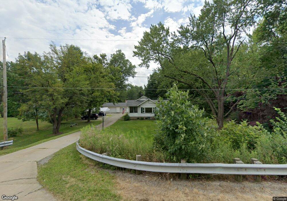
5057 New Rd Youngstown, OH 44515
Austintown NeighborhoodEstimated Value: $158,000 - $223,000
3
Beds
1
Bath
1,412
Sq Ft
$138/Sq Ft
Est. Value
About This Home
This home is located at 5057 New Rd, Youngstown, OH 44515 and is currently estimated at $195,280, approximately $138 per square foot. 5057 New Rd is a home located in Mahoning County with nearby schools including Austintown Elementary School, Austintown Intermediate School, and Austintown Middle School.
Ownership History
Date
Name
Owned For
Owner Type
Purchase Details
Closed on
Feb 7, 2023
Sold by
Satterlee Robert A and Satterlee Lisa M
Bought by
New Rt 46 Llc
Current Estimated Value
Purchase Details
Closed on
Aug 19, 2011
Sold by
Whitney Cynthia
Bought by
Hsbc Mortgage Services Inc
Purchase Details
Closed on
Nov 14, 2005
Sold by
Connell Raymond C and Connell Barbara L
Bought by
Whitney Cynthia
Home Financials for this Owner
Home Financials are based on the most recent Mortgage that was taken out on this home.
Original Mortgage
$25,200
Interest Rate
6%
Mortgage Type
Stand Alone Second
Purchase Details
Closed on
Jul 21, 1977
Bought by
Connell Raymond C
Create a Home Valuation Report for This Property
The Home Valuation Report is an in-depth analysis detailing your home's value as well as a comparison with similar homes in the area
Home Values in the Area
Average Home Value in this Area
Purchase History
| Date | Buyer | Sale Price | Title Company |
|---|---|---|---|
| New Rt 46 Llc | -- | None Listed On Document | |
| New Rt 46 Llc | -- | None Listed On Document | |
| Hsbc Mortgage Services Inc | $68,000 | None Available | |
| Whitney Cynthia | $126,000 | -- | |
| Connell Raymond C | -- | -- |
Source: Public Records
Mortgage History
| Date | Status | Borrower | Loan Amount |
|---|---|---|---|
| Previous Owner | Whitney Cynthia | $25,200 | |
| Previous Owner | Whitney Cynthia | $100,800 |
Source: Public Records
Tax History Compared to Growth
Tax History
| Year | Tax Paid | Tax Assessment Tax Assessment Total Assessment is a certain percentage of the fair market value that is determined by local assessors to be the total taxable value of land and additions on the property. | Land | Improvement |
|---|---|---|---|---|
| 2024 | $2,319 | $49,480 | $2,860 | $46,620 |
| 2023 | $2,283 | $49,480 | $2,860 | $46,620 |
| 2022 | $1,626 | $28,210 | $2,850 | $25,360 |
| 2021 | $1,626 | $28,210 | $2,850 | $25,360 |
| 2020 | $1,633 | $28,210 | $2,850 | $25,360 |
| 2019 | $1,588 | $24,970 | $2,520 | $22,450 |
| 2018 | $1,531 | $24,970 | $2,520 | $22,450 |
| 2017 | $1,627 | $24,970 | $2,520 | $22,450 |
| 2016 | $1,726 | $27,950 | $2,520 | $25,430 |
| 2015 | $1,675 | $27,950 | $2,520 | $25,430 |
| 2014 | $1,683 | $27,950 | $2,520 | $25,430 |
| 2013 | $1,667 | $27,950 | $2,520 | $25,430 |
Source: Public Records
Map
Nearby Homes
- 1707 Westhampton Dr
- 4815 New Rd
- 2211 Penny Ln
- 5256 S Saratoga Ave
- 1339 Cavalcade Dr
- 5179 Willow Crest Ave
- 1228 Cavalcade Dr
- 4689 Crabwood Dr
- 316 S Inglewood Ave
- 5192 Pinecrest Ave
- 5318 Pinecrest Ave
- 4674 Barrington Dr
- 2493 Frostwood Dr
- 5678 Cider Mill Crossing
- 148 Marcia Dr
- 170 Idaho Rd
- 124 S Inglewood Ave
- 2792 S Canfield Niles Rd
- 701 Oberlin Place
- 4314 Kerrybrook Dr