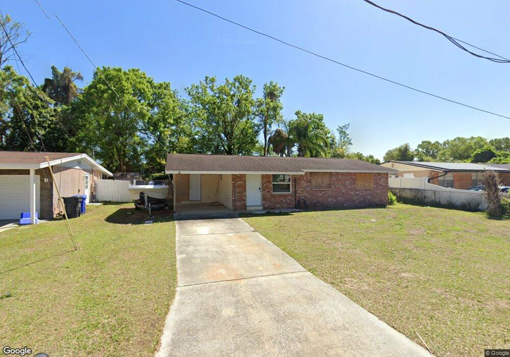
506 Shamrock Rd Brandon, FL 33511
Estimated Value: $252,909 - $289,000
2
Beds
2
Baths
1,152
Sq Ft
$234/Sq Ft
Est. Value
About This Home
This home is located at 506 Shamrock Rd, Brandon, FL 33511 and is currently estimated at $269,477, approximately $233 per square foot. 506 Shamrock Rd is a home located in Hillsborough County with nearby schools including Yates Elementary School, Mann Middle School, and Brandon High School.
Ownership History
Date
Name
Owned For
Owner Type
Purchase Details
Closed on
Feb 9, 2012
Sold by
Rutsis Tammy R and Morningstar Tammy R
Bought by
Morningstar Kenneth P and Morningstar Tammy R
Current Estimated Value
Home Financials for this Owner
Home Financials are based on the most recent Mortgage that was taken out on this home.
Original Mortgage
$58,277
Interest Rate
3.5%
Mortgage Type
FHA
Purchase Details
Closed on
Sep 10, 1997
Sold by
Cayce Nancy
Bought by
Rutsis Tammy R
Home Financials for this Owner
Home Financials are based on the most recent Mortgage that was taken out on this home.
Original Mortgage
$58,450
Interest Rate
7.39%
Mortgage Type
FHA
Create a Home Valuation Report for This Property
The Home Valuation Report is an in-depth analysis detailing your home's value as well as a comparison with similar homes in the area
Home Values in the Area
Average Home Value in this Area
Purchase History
| Date | Buyer | Sale Price | Title Company |
|---|---|---|---|
| Morningstar Kenneth P | $30,000 | Marlin Title | |
| Rutsis Tammy R | $58,500 | -- |
Source: Public Records
Mortgage History
| Date | Status | Borrower | Loan Amount |
|---|---|---|---|
| Closed | Morningstar Kenneth P | $58,277 | |
| Closed | Rutsis Tammy R | $58,450 |
Source: Public Records
Tax History
| Year | Tax Paid | Tax Assessment Tax Assessment Total Assessment is a certain percentage of the fair market value that is determined by local assessors to be the total taxable value of land and additions on the property. | Land | Improvement |
|---|---|---|---|---|
| 2025 | $3,227 | $152,130 | $57,585 | $94,545 |
| 2024 | $3,227 | $153,573 | $57,585 | $95,988 |
| 2023 | $2,987 | $141,637 | $49,358 | $92,279 |
| 2022 | $2,815 | $148,343 | $49,358 | $98,985 |
| 2021 | $2,551 | $118,524 | $41,132 | $77,392 |
| 2020 | $831 | $52,404 | $0 | $0 |
| 2019 | $733 | $50,258 | $0 | $0 |
| 2018 | $722 | $49,321 | $0 | $0 |
| 2017 | $702 | $76,023 | $0 | $0 |
| 2016 | $679 | $47,313 | $0 | $0 |
| 2015 | $681 | $46,984 | $0 | $0 |
| 2014 | $658 | $46,611 | $0 | $0 |
| 2013 | -- | $45,922 | $0 | $0 |
Source: Public Records
Map
Nearby Homes
- 1107 Southside Dr
- 505 Clearfield Rd
- 702 Tuscanny St
- 627 Tuscanny St
- 1105 Briarwood Rd
- 529 Tuscanny St
- 0 Dew Bloom Rd Unit MFRL4947412
- 1618 Citrus Orchard Way
- 808 Vittorio Place
- 1001 Sonesta Ave
- 507 Second St
- 404 2nd St
- 513 2nd St
- 1332 Dew Bloom Rd Unit 2
- 506 Third St
- 401 2nd St
- 312 2nd St
- 310 Kenmore Rd
- 402 Fourth St
- 310 Third St
- 504 Shamrock Rd
- 508 Shamrock Rd
- 502 Shamrock Rd
- 1112 Southside Dr
- 501 Shamrock Rd
- 422 Shamrock Rd
- 1110 Southside Dr
- 1111 Southside Dr
- 527 Clearfield Rd
- 420 Shamrock Rd
- 1109 Southside Dr
- 1108 Southside Dr
- 419 Shamrock Rd
- 526 Tuscanny Park Loop
- 524 Tuscanny Park Loop
- 418 Shamrock Rd
- 528 Tuscanny Park Loop
- 520 Clearfield Rd
- 417 Shamrock Rd
Your Personal Tour Guide
Ask me questions while you tour the home.