5061 Isabella Cannon Dr Raleigh, NC 27612
Brookhaven NeighborhoodEstimated Value: $614,461 - $655,000
3
Beds
3
Baths
2,746
Sq Ft
$233/Sq Ft
Est. Value
About This Home
This home is located at 5061 Isabella Cannon Dr, Raleigh, NC 27612 and is currently estimated at $640,365, approximately $233 per square foot. 5061 Isabella Cannon Dr is a home located in Wake County with nearby schools including York Elementary School, Oberlin Middle School, and Sanderson High School.
Ownership History
Date
Name
Owned For
Owner Type
Purchase Details
Closed on
Apr 13, 2020
Sold by
Finlayson Michelle and Finlayson Alan
Bought by
Littlefield Maralan W and Littlefield John Anthony
Current Estimated Value
Purchase Details
Closed on
Aug 29, 2013
Sold by
Micklash Robert J and Micklash Karen M
Bought by
Finlayson Alan and Finlayson Michelle
Home Financials for this Owner
Home Financials are based on the most recent Mortgage that was taken out on this home.
Original Mortgage
$296,100
Interest Rate
4.37%
Mortgage Type
New Conventional
Purchase Details
Closed on
Jul 18, 2006
Sold by
Pulte Home Corp
Bought by
Micklash Robert J and Micklash Karen M
Home Financials for this Owner
Home Financials are based on the most recent Mortgage that was taken out on this home.
Original Mortgage
$150,000
Interest Rate
6.54%
Mortgage Type
Unknown
Create a Home Valuation Report for This Property
The Home Valuation Report is an in-depth analysis detailing your home's value as well as a comparison with similar homes in the area
Home Values in the Area
Average Home Value in this Area
Purchase History
| Date | Buyer | Sale Price | Title Company |
|---|---|---|---|
| Littlefield Maralan W | $423,000 | None Available | |
| Finlayson Alan | $329,500 | None Available | |
| Micklash Robert J | $360,000 | None Available |
Source: Public Records
Mortgage History
| Date | Status | Borrower | Loan Amount |
|---|---|---|---|
| Previous Owner | Finlayson Alan | $296,100 | |
| Previous Owner | Micklash Robert J | $150,000 |
Source: Public Records
Tax History Compared to Growth
Tax History
| Year | Tax Paid | Tax Assessment Tax Assessment Total Assessment is a certain percentage of the fair market value that is determined by local assessors to be the total taxable value of land and additions on the property. | Land | Improvement |
|---|---|---|---|---|
| 2025 | $5,709 | $652,332 | $200,000 | $452,332 |
| 2024 | $5,686 | $652,332 | $200,000 | $452,332 |
| 2023 | $4,071 | $371,677 | $82,000 | $289,677 |
| 2022 | $3,783 | $371,677 | $82,000 | $289,677 |
| 2021 | $3,636 | $371,677 | $82,000 | $289,677 |
| 2020 | $3,570 | $371,677 | $82,000 | $289,677 |
| 2019 | $4,181 | $359,016 | $82,000 | $277,016 |
| 2018 | $3,943 | $359,016 | $82,000 | $277,016 |
| 2017 | $3,755 | $359,016 | $82,000 | $277,016 |
| 2016 | $3,678 | $359,016 | $82,000 | $277,016 |
| 2015 | -- | $357,764 | $82,000 | $275,764 |
| 2014 | $3,533 | $357,764 | $82,000 | $275,764 |
Source: Public Records
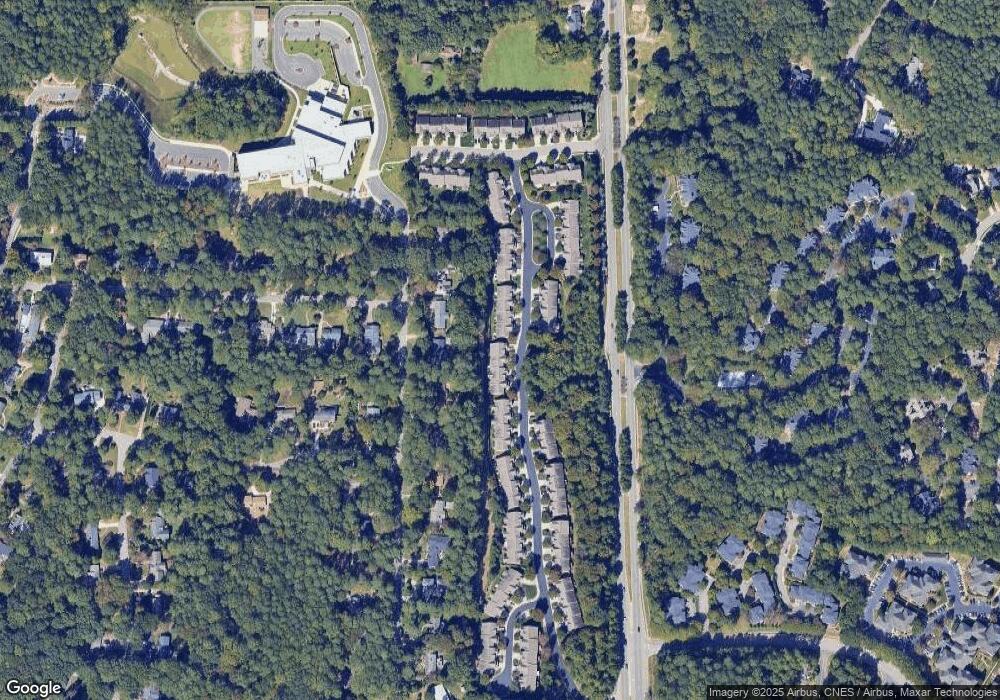
Map
Nearby Homes
- 5036 Isabella Cannon Dr
- 4902 Brookhaven Dr
- 4832 Brookhaven Dr
- 4831 Crestmore Rd Unit 202
- 4802 Glenmist Ct
- 2237 Misskelly Dr
- 2507 Princewood St
- 2510 Silverpalm St
- 2512 Blooming St
- 4902 Carteret Dr
- 2744 Laurelcherry St
- 2205 Yorkgate Dr
- 1910 W Millbrook Rd
- 5709 Hedgemoor Dr
- 4408 Queenstown Ct
- 5105 Shamrock Dr
- 3009 Walton Heath Ct
- 2009 Philcrest Rd
- 1904 French Dr
- 5205 Rembert Dr
- 5059 Isabella Cannon Dr
- 5065 Isabella Cannon Dr
- 5057 Isabella Cannon Dr
- 5067 Isabella Cannon Dr
- 5055 Isabella Cannon Dr
- 5069 Isabella Cannon Dr
- 5066 Isabella Cannon Dr
- 5012 Brookhaven Dr
- 5071 Isabella Cannon Dr
- 5068 Isabella Cannon Dr
- 5016 Brookhaven Dr
- 5070 Isabella Cannon Dr
- 5047 Isabella Cannon Dr
- 5008 Brookhaven Dr
- 5101 Isabella Cannon Dr
- 5072 Isabella Cannon Dr
- 5045 Isabella Cannon Dr
- 5103 Isabella Cannon Dr
- 5044 Isabella Cannon Dr
- 5018 Brookhaven Dr