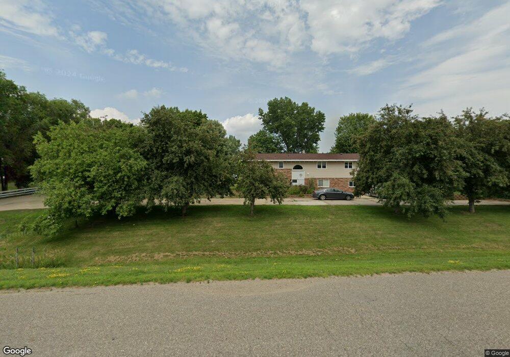
5062 Lonsdale Blvd E Northfield, MN 55057
Estimated Value: $458,000 - $510,000
4
Beds
2
Baths
2,512
Sq Ft
$193/Sq Ft
Est. Value
About This Home
This home is located at 5062 Lonsdale Blvd E, Northfield, MN 55057 and is currently estimated at $485,412, approximately $193 per square foot. 5062 Lonsdale Blvd E is a home located in Rice County with nearby schools including Bridgewater Elementary School, Northfield Middle School, and Northfield Senior High School.
Ownership History
Date
Name
Owned For
Owner Type
Purchase Details
Closed on
Oct 25, 2020
Sold by
Overby Kevin C and Hogy Overby J
Bought by
Manuel Duque Jose and Manuel Leticia Duque
Current Estimated Value
Home Financials for this Owner
Home Financials are based on the most recent Mortgage that was taken out on this home.
Original Mortgage
$370,500
Interest Rate
2.9%
Mortgage Type
New Conventional
Create a Home Valuation Report for This Property
The Home Valuation Report is an in-depth analysis detailing your home's value as well as a comparison with similar homes in the area
Home Values in the Area
Average Home Value in this Area
Purchase History
| Date | Buyer | Sale Price | Title Company |
|---|---|---|---|
| Manuel Duque Jose | $390,000 | Burnet Title | |
| Duque Jose Jose | $390,000 | -- |
Source: Public Records
Mortgage History
| Date | Status | Borrower | Loan Amount |
|---|---|---|---|
| Previous Owner | Manuel Duque Jose | $370,500 | |
| Closed | Duque Jose Jose | $390,000 |
Source: Public Records
Tax History Compared to Growth
Tax History
| Year | Tax Paid | Tax Assessment Tax Assessment Total Assessment is a certain percentage of the fair market value that is determined by local assessors to be the total taxable value of land and additions on the property. | Land | Improvement |
|---|---|---|---|---|
| 2025 | $4,690 | $445,100 | $123,000 | $322,100 |
| 2024 | $4,690 | $402,800 | $107,500 | $295,300 |
| 2023 | $3,898 | $402,800 | $107,500 | $295,300 |
| 2022 | $3,662 | $367,600 | $95,000 | $272,600 |
| 2021 | $3,372 | $320,900 | $89,900 | $231,000 |
| 2020 | $3,300 | $283,200 | $89,900 | $193,300 |
| 2019 | $3,402 | $272,600 | $89,900 | $182,700 |
| 2018 | $3,092 | $272,000 | $89,900 | $182,100 |
| 2017 | $2,630 | $243,500 | $89,900 | $153,600 |
| 2016 | $2,734 | $231,000 | $89,900 | $141,100 |
| 2015 | $2,714 | $231,000 | $89,900 | $141,100 |
| 2014 | -- | $231,000 | $89,900 | $141,100 |
Source: Public Records
Map
Nearby Homes
- 9206 Edgebrook Dr
- XXXXX 330th St
- 1108 Greenvale Ave W Unit 2
- 717 Lincoln St N
- 1105 Hawthorne Ct
- 1000 Cannon Valley Dr Unit 143
- 904 Forest Ave
- TBD Hwy 19 / Lonsdal Lonsdale Blvd E
- 1504 Independence Dr Unit 603
- 621 Highland Ave W
- 1507 Independence Dr
- 812 Ivanhoe Dr
- 616 Greenvale Ave W
- 612 Greenvale Ave W
- 602 Greenvale Ave W
- 708 Saint Olaf Ave
- 732 Lathrop Dr
- 706 Greenvale Ave W
- 728 Lathrop Dr
- 701 3rd St W
- 5074 Lonsdale Blvd E
- 5094 Lonsdale Blvd E
- 19 Field & Stream Acres
- 5052 Lonsdale Blvd E
- 5048 Ebel Way
- 4945 Lonsdale Blvd E
- 5041 Ebel Way
- 5072 Ebel Way
- 5111 Lonsdale Blvd E
- 5119 Ebel Way
- 5082 Ebel Way
- 5162 Lonsdale Blvd E
- 5094 Ebel Way
- 4875 Lonsdale Blvd E
- 5104 Ebel Way
- 5112 Ebel Way
- 5122 Ebel Way
- XXXXX Chippendale Ave
- xxxx Canada Ave
- XXX Ford St