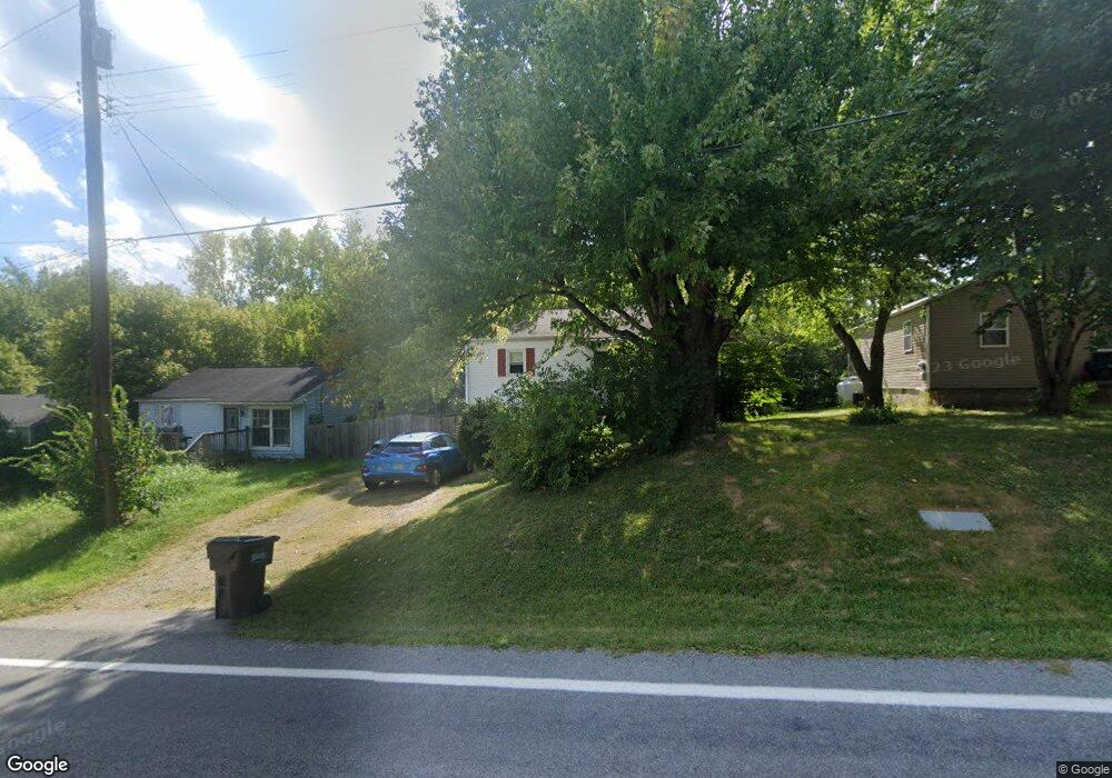
5063 State Route 123 Morrow, OH 45152
Salem Township NeighborhoodEstimated Value: $179,000 - $221,000
3
Beds
2
Baths
768
Sq Ft
$266/Sq Ft
Est. Value
About This Home
This home is located at 5063 State Route 123, Morrow, OH 45152 and is currently estimated at $204,398, approximately $266 per square foot. 5063 State Route 123 is a home located in Warren County with nearby schools including Little Miami Early Childhood Center, Little Miami Intermediate Middle School, and Little Miami Middle School.
Ownership History
Date
Name
Owned For
Owner Type
Purchase Details
Closed on
Sep 24, 2001
Sold by
Stevens Thomas
Bought by
Kilburn Patricia E
Current Estimated Value
Home Financials for this Owner
Home Financials are based on the most recent Mortgage that was taken out on this home.
Original Mortgage
$92,415
Outstanding Balance
$36,624
Interest Rate
7.06%
Mortgage Type
FHA
Estimated Equity
$167,774
Purchase Details
Closed on
Sep 29, 1994
Sold by
Cress Fernado
Bought by
Twana Thomas S and Twana Stevens
Home Financials for this Owner
Home Financials are based on the most recent Mortgage that was taken out on this home.
Original Mortgage
$47,500
Interest Rate
8.6%
Mortgage Type
New Conventional
Create a Home Valuation Report for This Property
The Home Valuation Report is an in-depth analysis detailing your home's value as well as a comparison with similar homes in the area
Home Values in the Area
Average Home Value in this Area
Purchase History
| Date | Buyer | Sale Price | Title Company |
|---|---|---|---|
| Kilburn Patricia E | $93,900 | -- | |
| Twana Thomas S | $50,000 | -- |
Source: Public Records
Mortgage History
| Date | Status | Borrower | Loan Amount |
|---|---|---|---|
| Open | Kilburn Patricia E | $92,415 | |
| Previous Owner | Twana Thomas S | $47,500 |
Source: Public Records
Tax History Compared to Growth
Tax History
| Year | Tax Paid | Tax Assessment Tax Assessment Total Assessment is a certain percentage of the fair market value that is determined by local assessors to be the total taxable value of land and additions on the property. | Land | Improvement |
|---|---|---|---|---|
| 2024 | $1,983 | $44,060 | $10,070 | $33,990 |
| 2023 | $1,838 | $36,414 | $6,191 | $30,222 |
| 2022 | $1,820 | $36,414 | $6,192 | $30,223 |
| 2021 | $1,739 | $36,414 | $6,192 | $30,223 |
| 2020 | $1,661 | $29,603 | $5,033 | $24,570 |
| 2019 | $1,691 | $29,603 | $5,033 | $24,570 |
| 2018 | $1,718 | $29,603 | $5,033 | $24,570 |
| 2017 | $1,539 | $26,002 | $4,494 | $21,508 |
| 2016 | $1,571 | $26,002 | $4,494 | $21,508 |
| 2015 | $1,472 | $26,002 | $4,494 | $21,508 |
| 2014 | $1,643 | $26,000 | $4,490 | $21,510 |
| 2013 | $1,615 | $29,110 | $5,030 | $24,080 |
Source: Public Records
Map
Nearby Homes
- 5031 Ohio 123
- 4645 Ward Rd
- 5565 E US Rt 22 & 3
- 5323 US Rt 22 & 3
- 5467 Morrow-Blackhawk Rd
- 5710 Julia Kate Dr
- Lot #1 Middleboro Rd
- 251 Westview Dr
- 5688 Alpine Heights Dr
- Birch with Included Basement Plan at Woodlands at Morrow
- Cedar with Included Basement Plan at Woodlands at Morrow
- Spruce with Included Basement Plan at Woodlands at Morrow
- Aspen with Included Basement Plan at Woodlands at Morrow
- Hazel with Included Basement Plan at Woodlands at Morrow
- 4921 Jessica Suzanne Dr
- 6156 Molly Joy Ct
- 7569 Woodward Claypool Rd
- 5783 Josie’s Cove
- 5823 Josie’s Cove
- 4836 Jessica Suzanne Dr
- 5057 State Route 123
- 5057 Ohio 123
- 5075 State Route 123
- 5075 Sr 123
- 5075 St Rt 123
- 5057 S State Route 123
- 5085 State Route 123
- 5085 St Rt 123
- 5043 State Route 123
- 5064 S State Route 123
- 5031 State Route 123
- 5038 State Route 123
- 5108 State Route 123
- 4861 Carter Ave
- 5127 State Route 123
- 6151 Main St
- 6051 U S 22 Unit 3
- 6051 U S 22
- 6163 U S 22
- 6151 E Us Rt 22&3